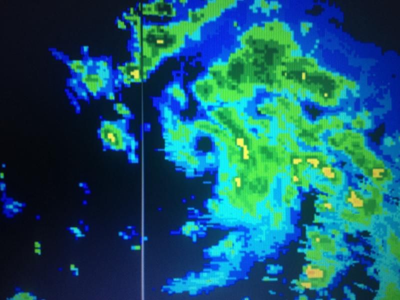
NDG wrote:Very small & tight eyelike feature still very evident on radar:
http://i20.photobucket.com/albums/b245/ ... xo1dnb.jpg
You don't have to put the red x as is very clear where the center is.
Moderator: S2k Moderators


NDG wrote:Very small & tight eyelike feature still very evident on radar:
http://i20.photobucket.com/albums/b245/ ... xo1dnb.jpg
gatorcane wrote:WV floater shows some really dry air to the north. I think it is ingesting some of that as the convection canopy is starting to look a bit ragged. Could be why the global models really don't ramp it up quickly thankfully. Even the HWRF doesn't ramp it up until once north of the islands.
http://i62.tinypic.com/vwzvpj.jpg


cycloneye wrote:Well folks. I have a interesting factor or wildcard that anyone has mentioned and that is the Island of Montserratt where a volcano has been active for the past few years with a big eruption at 2011. But right now is moderately active with ash going up 24/7. The question is if the volcano have any effects especially if the center moves over the volcano and is not out of the question it does that.
http://oi50.tinypic.com/m9ajrt.jpg
fd122 wrote:It looks impressive on the Martinique radar.
Alyono wrote:weakening? seriously?
lets not make these kinds of proclamations when a storm is bearing down on land areas, especially when the data indicate otherwise
Users browsing this forum: No registered users and 44 guests


