

tolakram wrote:Live visible: http://wwwghcc.msfc.nasa.gov/cgi-bin/ge ... umframes=5
I think there's a decent chance this is an open wave. Both the visible and the MIMIC-TPW show Dorian losing circulation.
Kind of hard to tell from that angle of the satellite and with only just a few frames of vis satellite, IMO, to conclude that it is an open wave this morning, which I doubt it would had done so quickly.
Edit:
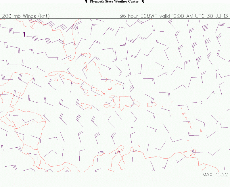
BTW, MIMIC's TPW loop still shows a vigorous circulation.


