ATL: DORIAN - Post-Tropical - Discussion
Moderator: S2k Moderators
- northjaxpro
- S2K Supporter

- Posts: 8900
- Joined: Mon Sep 27, 2010 11:21 am
- Location: Jacksonville, FL
Yeah, NDG, that is about right where you have the X marked, just below where the convective blowup on the northern side of the LLC, or the appearance of one at least.
0 likes
NEVER, EVER SAY NEVER in the tropics and weather in general, and most importantly, with life itself!!
________________________________________________________________________________________
Fay 2008 Beryl 2012 Debby 2012 Colin 2016 Hermine 2016 Julia 2016 Matthew 2016 Irma 2017 Dorian 2019
________________________________________________________________________________________
Fay 2008 Beryl 2012 Debby 2012 Colin 2016 Hermine 2016 Julia 2016 Matthew 2016 Irma 2017 Dorian 2019
Re: ATL: DORIAN - Tropical Storm - Discussion
6hrs. ago

3 hrs. ago

Now

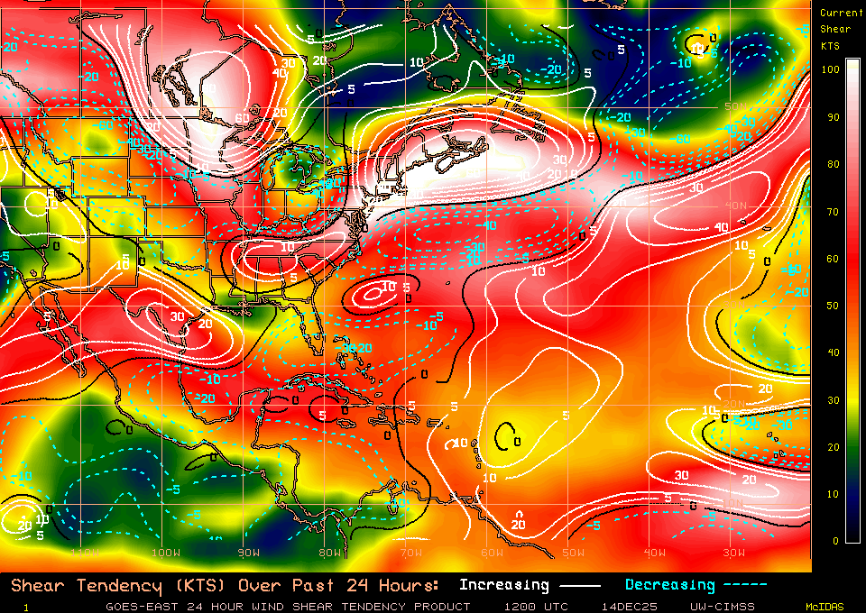
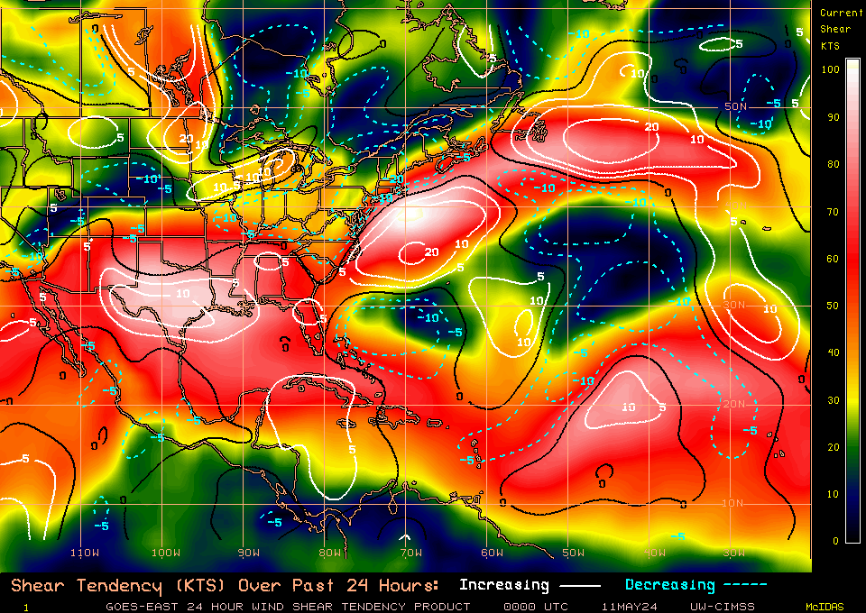
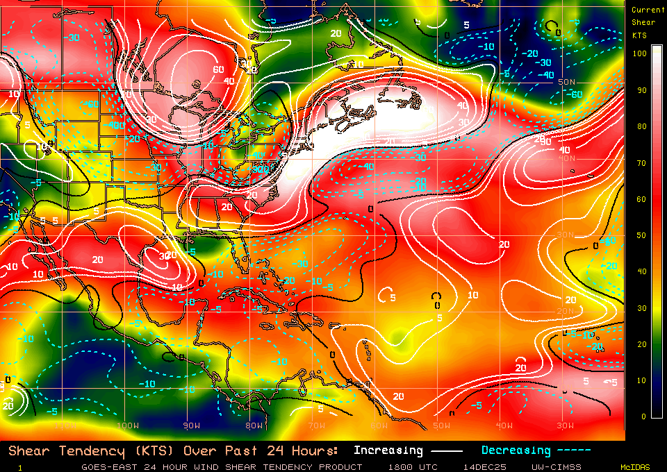
TUTT retrograding and weaking to my eyes, but is getting late.
3 hrs. ago
Now
TUTT retrograding and weaking to my eyes, but is getting late.
0 likes
The following post is NOT an official forecast and should not be used as such. It is just the opinion of the poster and may or may not be backed by sound meteorological data. It is NOT endorsed by any professional institution including storm2k.org For Official Information please refer to the NHC and NWS products.
- northjaxpro
- S2K Supporter

- Posts: 8900
- Joined: Mon Sep 27, 2010 11:21 am
- Location: Jacksonville, FL
Yeah, NDG, that is about right where you have the X marked, just below where the convective blowup on the northern side of the LLC, or the appearance of one at least.
0 likes
NEVER, EVER SAY NEVER in the tropics and weather in general, and most importantly, with life itself!!
________________________________________________________________________________________
Fay 2008 Beryl 2012 Debby 2012 Colin 2016 Hermine 2016 Julia 2016 Matthew 2016 Irma 2017 Dorian 2019
________________________________________________________________________________________
Fay 2008 Beryl 2012 Debby 2012 Colin 2016 Hermine 2016 Julia 2016 Matthew 2016 Irma 2017 Dorian 2019
- Hurricaneman
- Category 5

- Posts: 7404
- Age: 45
- Joined: Tue Aug 31, 2004 3:24 pm
- Location: central florida
-
ozonepete
- Professional-Met

- Posts: 4743
- Joined: Mon Sep 07, 2009 3:23 pm
- Location: From Ozone Park, NYC / Now in Brooklyn, NY
Re: ATL: DORIAN - Tropical Storm - Discussion
tailgater wrote:
TUTT retrograding and weaking to my eyes, but is getting late.
Nice sequence TG. You can see how the shear is lessening as the TUTT seems to be weakening and shrinking.
0 likes
Re: ATL: DORIAN - Tropical Storm - Discussion
ozonepete wrote:chaser1 wrote:boca wrote:I have a question is because the convection is popping would that indicate that Dorian might survive longer and come back to life because of the ssts are warming
"very well could"; its a tight balancing act. One one hand you've already got the spin and regardless the dynamics that might help drive convection, maintaining any newly developing vertical column is difficult enough while being impacted by anything more than light vertical shear. Added instability (to its vertical structure that is) by any intrusion of dry air, makes it that much harder to maintain that convection and in turn maintaining its own vertical integrety. Lesson one of the variables (less upper level shear, or slower forward motion, or an moister air mass) and that helps Dorian live to see another day.
Hey there just one correction for the record here. You meant Added stability, not instability, due to dry air. Just typing too fast I guess on your way to the fridge.
Sharp eye Pete
0 likes
Andy D
(For official information, please refer to the NHC and NWS products.)
(For official information, please refer to the NHC and NWS products.)
-
Aric Dunn
- Category 5

- Posts: 21238
- Age: 43
- Joined: Sun Sep 19, 2004 9:58 pm
- Location: Ready for the Chase.
- Contact:
convection continues to do a good job building and maintaining thus far and expanding
http://www.ssd.noaa.gov/PS/TROP/floater ... -long.html
http://www.ssd.noaa.gov/PS/TROP/floater ... -long.html
0 likes
Note: If I make a post that is brief. Please refer back to previous posts for the analysis or reasoning. I do not re-write/qoute what my initial post said each time.
If there is nothing before... then just ask
Space & Atmospheric Physicist, Embry-Riddle Aeronautical University,
I believe the sky is falling...
If there is nothing before... then just ask
Space & Atmospheric Physicist, Embry-Riddle Aeronautical University,
I believe the sky is falling...
- Hurricaneman
- Category 5

- Posts: 7404
- Age: 45
- Joined: Tue Aug 31, 2004 3:24 pm
- Location: central florida
Re: ATL: DORIAN - Tropical Storm - Discussion
ozonepete wrote:tailgater wrote:
TUTT retrograding and weaking to my eyes, but is getting late.
Nice sequence TG. You can see how the shear is lessening as the TUTT seems to be weakening and shrinking.
This could be bad news for Florida if the TUTT shear goes away so it looks like it needs to be kept an eye on after all
The posts in this forum are NOT official forecast and should not be used as such. They are just the opinion of the poster and may or may not be backed by sound meteorological data. They are NOT endorsed by any professional institution or storm2k.org. For official information, please refer to the NHC and NWS products
0 likes
- northjaxpro
- S2K Supporter

- Posts: 8900
- Joined: Mon Sep 27, 2010 11:21 am
- Location: Jacksonville, FL
Well, that TUTT was forecast to weaken and retrograde westward a couple of days ago. If that is beginning to take place now, then conditions ahead of the cyclone are really going to begin to become increasingly conducive. But, is all of this happening too late fr Dorian now? We will know this weekend.
0 likes
NEVER, EVER SAY NEVER in the tropics and weather in general, and most importantly, with life itself!!
________________________________________________________________________________________
Fay 2008 Beryl 2012 Debby 2012 Colin 2016 Hermine 2016 Julia 2016 Matthew 2016 Irma 2017 Dorian 2019
________________________________________________________________________________________
Fay 2008 Beryl 2012 Debby 2012 Colin 2016 Hermine 2016 Julia 2016 Matthew 2016 Irma 2017 Dorian 2019
Re: ATL: DORIAN - Tropical Storm - Discussion
Night guys, never thought I'd spend my Friday nite watching a weak TS in the Central Atlantic. Guess this proves I am a Weather Geek 
0 likes
The following post is NOT an official forecast and should not be used as such. It is just the opinion of the poster and may or may not be backed by sound meteorological data. It is NOT endorsed by any professional institution including storm2k.org For Official Information please refer to the NHC and NWS products.
-
ozonepete
- Professional-Met

- Posts: 4743
- Joined: Mon Sep 07, 2009 3:23 pm
- Location: From Ozone Park, NYC / Now in Brooklyn, NY
Re: ATL: DORIAN - Tropical Storm - Discussion
chaser1 wrote:Sharp eye PeteWell, not exactly LOL You're right with regard to how dryer air would certainly be equal to "stable air", where unstable air would better lend to rising air, convective development, etc. What I was trying to say (but this time wasn't fridge, but bathroom!) was in reference to Dorian's attempt to redevelop some vertical integrety (stability), and that the storm is of a fragile condition. Thus was suggesting conditions that would cause a storms vertical structure to become "unstable" either due to ingestion of dryer air, etc. "My bad though" in using unstable and stable too many times in the course of the same paragraph in contradiction to how unstable air is "fuel" to a fledging cyclone. Wow, now I"M dizzy LOL
Yeah, no big deal. I just didn't want to confuse the folks who don't know the terminology as well as we do.
So just for everyone else, unstable air is good for tropical cyclones and stable air is bad. Stable air can be caused by dry air (low relative humidity) or Saharan dust which can act in the same way even though air with a lot of dust can have high relative Hhmidity. If the tropical cyclone vertical structure is not straight up but leans one way or another it is not in a stable condition but we usually call it "not vertically stacked" or "not stacked." Whew! Time for another beer...
0 likes
- SFLcane
- S2K Supporter

- Posts: 10281
- Age: 48
- Joined: Sat Jun 05, 2010 1:44 pm
- Location: Lake Worth Florida
Re: ATL: DORIAN - Tropical Storm - Discussion
Just cant see this tiny system surviving the 40kt shear just ahead.
0 likes
- SFLcane
- S2K Supporter

- Posts: 10281
- Age: 48
- Joined: Sat Jun 05, 2010 1:44 pm
- Location: Lake Worth Florida
Re:
northjaxpro wrote:Well, that TUTT was forecast to weaken and retrograde westward a couple of days ago. If that is beginning to take place now, then conditions ahead of the cyclone are really going to begin to become increasingly conducive. But, is all of this happening too late fr Dorian now? We will know this weekend.
That about sums it up
0 likes
Re: ATL: DORIAN - Tropical Storm - Discussion
tailgater wrote:6hrs. ago
http://tropic.ssec.wisc.edu/real-time/a ... 8sht-2.GIF[/img]
3 hrs. ago
http://tropic.ssec.wisc.edu/real-time/a ... 8sht-1.GIF[/img]
Now
http://tropic.ssec.wisc.edu/real-time/a ... wg8sht.GIF[/img]
TUTT retrograding and weaking to my eyes, but is getting late.
Certainly reinforces what we are seeing now. I think its small size has really helped it along the way. It has managed to find pockets of favorable conditions. If you think back the models had this dying twice. First they did not give it 24hrs to live when it left Africa and it found a nice favorable pocket and now they were forecasting it to hit a bad pocket and look what happens.
With that said, this is certainly not out of the woods yet. We have seen this story before with a nice burst and then the system is unable to consistently sustain convection. Let's see if keeps this up in the morning.
0 likes
The following post is NOT an official forecast and should not be used as such. It is just the opinion of the poster and may or may not be backed by sound meteorological data. It is NOT endorsed by any professional institution including storm2k.org For Official Information please refer to the NHC and NWS products.
Re: ATL: DORIAN - Tropical Storm - Discussion
ozonepete wrote:chaser1 wrote:Sharp eye PeteWell, not exactly LOL You're right with regard to how dryer air would certainly be equal to "stable air", where unstable air would better lend to rising air, convective development, etc. What I was trying to say (but this time wasn't fridge, but bathroom!) was in reference to Dorian's attempt to redevelop some vertical integrety (stability), and that the storm is of a fragile condition. Thus was suggesting conditions that would cause a storms vertical structure to become "unstable" either due to ingestion of dryer air, etc. "My bad though" in using unstable and stable too many times in the course of the same paragraph in contradiction to how unstable air is "fuel" to a fledging cyclone. Wow, now I"M dizzy LOL
Yeah, no big deal. I just didn't want to confuse the folks who don't know the terminology as well as we do.
So just for everyone else, unstable air is good for tropical cyclones and stable air is bad. Stable air can be caused by dry air (low relative humidity) or Saharan dust which can act in the same way even though air with a lot of dust can have high relative Hhmidity. If the tropical cyclone vertical structure is not straight up but leans one way or another it is not in a stable condition but we usually call it "not vertically stacked" or "not stacked." Whew! Time for another beer...
I'm with you....coor's light? LOL
0 likes
Andy D
(For official information, please refer to the NHC and NWS products.)
(For official information, please refer to the NHC and NWS products.)
- Fego
- S2K Supporter

- Posts: 767
- Age: 66
- Joined: Sun Apr 18, 2004 7:58 pm
- Location: San Juan, Puerto Rico
- Contact:
Re: ATL: DORIAN - Tropical Storm - Discussion
Imho, right now we are observing how Dorian behaves in terms of cyclogenesis, precisely the part of meteorology where the NHC recognize they don't have the same skills as predicting trajectories.
Last edited by Fego on Sat Jul 27, 2013 1:23 am, edited 1 time in total.
0 likes
Go Giants! Go Niners! Go Warriors!
Re: ATL: DORIAN - Tropical Storm - Discussion
SFLcane wrote:Just cant see this tiny system surviving the 40kt shear just ahead.
Per tonight's 0Z GFS run, if/when Dorian reaches about 19N & 55N (or south of) at 24-30 hours, there will be a nice upper high that he'll be sitting under. Now....if he were to gain some latitude to roughly 22N/23N, that changes everything and there would be the shear. Whew...small storm, game of inches for sure. Typically these small storms just get shredded by greater negative influences around them. Chantal and Dorian have both been fighters.
0 likes
Andy D
(For official information, please refer to the NHC and NWS products.)
(For official information, please refer to the NHC and NWS products.)
Re: ATL: DORIAN - Tropical Storm - Discussion
Fego wrote:Imho, right now we are observing how Dorian behaves in terms of cyclogenesis, precisely the part of meteorology where the NHC recognize they don't have the same skills as predicting trayectories.
So True
0 likes
Andy D
(For official information, please refer to the NHC and NWS products.)
(For official information, please refer to the NHC and NWS products.)
-
ozonepete
- Professional-Met

- Posts: 4743
- Joined: Mon Sep 07, 2009 3:23 pm
- Location: From Ozone Park, NYC / Now in Brooklyn, NY
Re: ATL: DORIAN - Tropical Storm - Discussion
Convection still increasing but at a slower rate. Probably still ingesting the rest of the dry air on its south side.


Last edited by ozonepete on Sat Jul 27, 2013 1:19 am, edited 1 time in total.
0 likes
Who is online
Users browsing this forum: No registered users and 56 guests


