I'm thinking this is now 55 knots, which is also in accordance to the latest ADT

Moderator: S2k Moderators


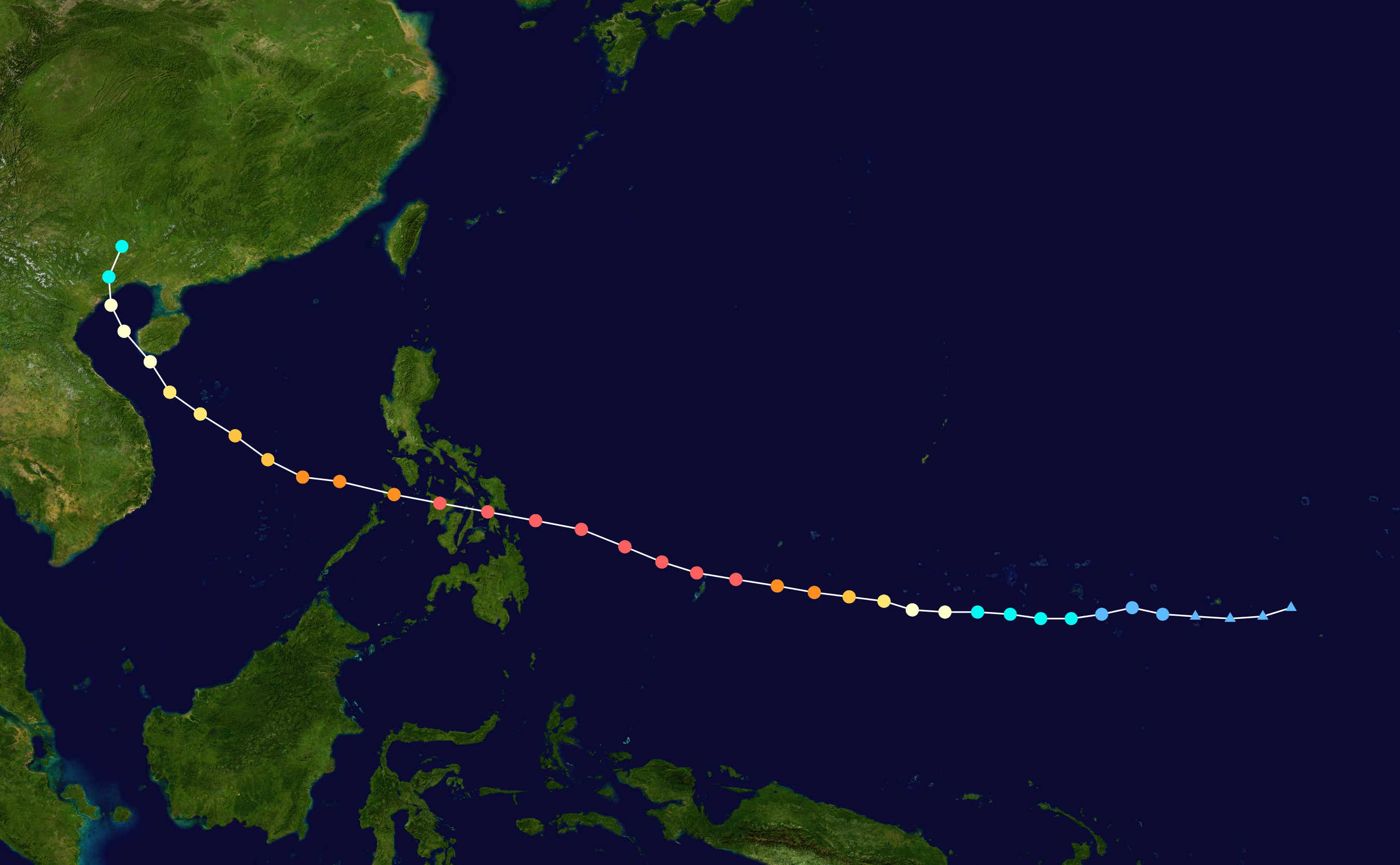
xtyphooncyclonex wrote:Hey HurricaneTracker, what are your thoughts on its track? We need to onow because we have a boat trip on April 2 to Leyte.
HurricaneTracker2031 wrote:xtyphooncyclonex wrote:Hey HurricaneTracker, what are your thoughts on its track? We need to onow because we have a boat trip on April 2 to Leyte.
Yes, it is important to know where its headed. For now, I think the Philippines should monitor this system closely as it is possible that this could slam them.
Here are some of our thoughts of the system now: http://goo.gl/aypMht
Personal Forecast Disclaimer:
The posts in this forum are NOT official forecast and should not be used as such. They are just the opinion of the poster and may or may not be backed by sound meteorological data. They are NOT endorsed by any professional institution or storm2k.org. For official information, please refer to the NHC and NWS products.


ohno wrote:Can anyone explian what is happening pls. I thought el nino was supposed to be dry?
Users browsing this forum: No registered users and 13 guests

