Global model runs discussion

Moderator: S2k Moderators

Message
Author
User avatar
WeatherLovingDoc
S2K Supporter
S2K Supporter
Posts: 453
Joined: Fri Sep 05, 2008 10:08 pm
Location: Washington D.C.

Re: Long / Medium Range Model Runs

#321 Postby WeatherLovingDoc » Mon Jul 20, 2009 3:23 pm

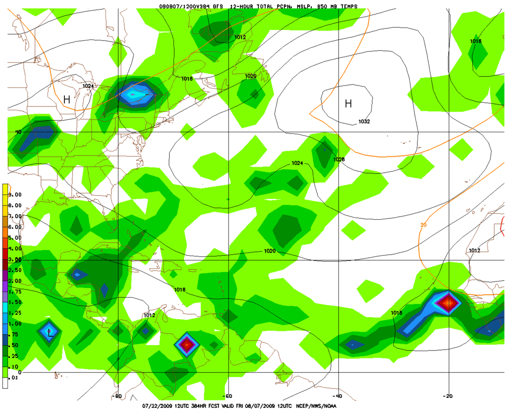
cycloneye wrote:GFS continues to advertise a big system in the Tropical Atlantic as the calender turns to August.

http://www.nco.ncep.noaa.gov/pmb/nwprod ... loop.shtml


While a long way out, I will be following this specifically as we near July 31/August 1 or so in anticipation of travel with two children to the Windward Islands first week of August. We would rather not vacation in heavy rain/storms and would just hold off our travel.

I do so very much appreciate (and utilize) this site. Thank you all.

WLD.
0 likes   

User avatar
expat2carib
S2K Supporter
S2K Supporter
Posts: 458
Joined: Tue Jul 22, 2008 1:44 pm
Location: Sint Maarten

Re: Long / Medium Range Model Runs

#322 Postby expat2carib » Mon Jul 20, 2009 3:55 pm

It will be Ana :ggreen:

The date will be the 8th of August :cheesy:

Thanks wxman57 :ggreen: for the tip
0 likes   

User avatar
WeatherLovingDoc
S2K Supporter
S2K Supporter
Posts: 453
Joined: Fri Sep 05, 2008 10:08 pm
Location: Washington D.C.

Re: Long / Medium Range Model Runs

#323 Postby WeatherLovingDoc » Mon Jul 20, 2009 4:18 pm

expat2carib wrote:It will be Ana :ggreen:

The date will be the 8th of August :cheesy:

Thanks wxman57 :ggreen: for the tip


Hahaha! I read that post. But, what if he is right? :eek: :ggreen:

(Not a forecast/wishcast or anything like that!).
0 likes   

User avatar
expat2carib
S2K Supporter
S2K Supporter
Posts: 458
Joined: Tue Jul 22, 2008 1:44 pm
Location: Sint Maarten

Re: Long / Medium Range Model Runs

#324 Postby expat2carib » Mon Jul 20, 2009 4:26 pm

I hope he is :grrr:

I just placed my last 20 bucks at my bookie. Ana, 8th of august :cheesy:
0 likes   

User avatar
WeatherLovingDoc
S2K Supporter
S2K Supporter
Posts: 453
Joined: Fri Sep 05, 2008 10:08 pm
Location: Washington D.C.

Re: Long / Medium Range Model Runs

#325 Postby WeatherLovingDoc » Mon Jul 20, 2009 4:28 pm

Lol, you're bad expat! But, I do watch for your posts. :lol:
0 likes   

User avatar
expat2carib
S2K Supporter
S2K Supporter
Posts: 458
Joined: Tue Jul 22, 2008 1:44 pm
Location: Sint Maarten

Re: Long / Medium Range Model Runs

#326 Postby expat2carib » Mon Jul 20, 2009 4:39 pm

Fun aside. Nobody knows. It's too far in the future. It's even impossible to use statistics. I guess you have to make the decision 3 days before you travel. And even then it will be a 50/50
0 likes   

User avatar
cycloneye
Admin
Admin
Posts: 143879
Age: 68
Joined: Thu Oct 10, 2002 10:54 am
Location: San Juan, Puerto Rico

Re: Long / Medium Range Model Runs

#327 Postby cycloneye » Wed Jul 22, 2009 3:15 pm

7/22/09 12z EURO shows a couple of interesting things.First something enters the Bay of Campeche and second the Bermuda high pressure expands westward leaving less troufiness in the east coast of U.S.

http://www.ecmwf.int/products/forecasts ... 12!!!step/
0 likes   

User avatar
wxman57
Moderator-Pro Met
Moderator-Pro Met
Posts: 22951
Age: 67
Joined: Sat Jun 21, 2003 8:06 pm
Location: Houston, TX (southwest)

Re: Long / Medium Range Model Runs

#328 Postby wxman57 » Wed Jul 22, 2009 3:41 pm

WeatherLovingDoc wrote:
expat2carib wrote:It will be Ana :ggreen:

The date will be the 8th of August :cheesy:

Thanks wxman57 :ggreen: for the tip


Hahaha! I read that post. But, what if he is right? :eek: :ggreen:

(Not a forecast/wishcast or anything like that!).


What do you mean "what if he's right?" ;-)

I did notice the GFS has that big system out there by the 7th.
0 likes   

User avatar
srainhoutx
S2K Supporter
S2K Supporter
Posts: 6919
Age: 67
Joined: Sun Jan 14, 2007 11:34 am
Location: Haywood County, NC
Contact:

Re: Long / Medium Range Model Runs

#329 Postby srainhoutx » Wed Jul 22, 2009 3:47 pm

wxman57 wrote:What do you mean "what if he's right?" ;-)

I did notice the GFS has that big system out there by the 7th.


That "mirage" :lol: :wink:

Image
0 likes   

User avatar
WeatherLovingDoc
S2K Supporter
S2K Supporter
Posts: 453
Joined: Fri Sep 05, 2008 10:08 pm
Location: Washington D.C.

Re: Long / Medium Range Model Runs

#330 Postby WeatherLovingDoc » Wed Jul 22, 2009 8:51 pm

"What do you mean "what if he's right?" ;-)

I did notice the GFS has that big system out there by the 7th."

Sorry Wxman57. :oops: I'm one of those glass half full kind of woman, which when Talking Tropics may mean :slime: and :boog:

:team: for getting us (the site) back up and running!

WLD

Not a wishcast or forecast, just thoughts of an amateur weather lover.
Last edited by WeatherLovingDoc on Wed Jul 22, 2009 9:48 pm, edited 1 time in total.
0 likes   

SETXWXLADY
Tropical Storm
Tropical Storm
Posts: 216
Joined: Wed May 20, 2009 3:26 pm
Location: SE TX Orange County

Re: Long / Medium Range Model Runs

#331 Postby SETXWXLADY » Wed Jul 22, 2009 9:31 pm

cycloneye wrote:7/22/09 12z EURO shows a couple of interesting things.First something enters the Bay of Campeche and second the Bermuda high pressure expands westward leaving less troufiness in the east coast of U.S.

http://www.ecmwf.int/products/forecasts ... 12!!!step/


I've been noticing that too. The GFS has been trying to spin something up in the WGOM. The 12z CMC hnts at it. Guess we'll see.


AREA FORECAST DISCUSSION
NATIONAL WEATHER SERVICE LAKE CHARLES LA
346 PM CDT WED JUL 22 2009

.DISCUSSION...

BY SUN AFTERNOON INTO WED OF NEXT WEEK...ANOTHER FRONTAL TROF WILL
APPROACH THE REGION...ALONG WITH INCREASED MOISTURE FROM A
TROPICAL WAVE IN THE WESTERN GULF. THIS WILL LEAD TO INCREASING
CHANCES OF MAINLY AFTERNOON AND EARLY EVENING SHRA/TSRA THROUGH
THIS TIME PERIOD. WITH THE INCREASED CLOUD COVER...AFTERNOON HIGHS
WILL BE LIMITED TO NEAR 90...WITH OVERNIGHT LOWS AGAIN REMAINING
IN THE MID 70S.
0 likes   

Ed Mahmoud

Re: Long / Medium Range Model Runs

#332 Postby Ed Mahmoud » Wed Jul 22, 2009 11:21 pm

I checked 850 mb vorticity, and then 700 mb theta-e fields from the Canadian, and I see nothing through 144 hours in the GOMEX.

New GFS running, through 5 days, nothing.
0 likes   

SETXWXLADY
Tropical Storm
Tropical Storm
Posts: 216
Joined: Wed May 20, 2009 3:26 pm
Location: SE TX Orange County

Re: Long / Medium Range Model Runs

#333 Postby SETXWXLADY » Wed Jul 22, 2009 11:37 pm

Ed Mahmoud wrote:I checked 850 mb vorticity, and then 700 mb theta-e fields from the Canadian, and I see nothing through 144 hours in the GOMEX.

New GFS running, through 5 days, nothing.


They were hinting at it earlier. :D
Last edited by SETXWXLADY on Wed Jul 22, 2009 11:46 pm, edited 1 time in total.
0 likes   

SETXWXLADY
Tropical Storm
Tropical Storm
Posts: 216
Joined: Wed May 20, 2009 3:26 pm
Location: SE TX Orange County

#334 Postby SETXWXLADY » Wed Jul 22, 2009 11:43 pm

They've been dropping the intensity since the 18z runs. But there's still some rain coming in. With a tropical wave out there ya never know.
0 likes   

User avatar
alan1961
Category 2
Category 2
Posts: 771
Joined: Mon Mar 20, 2006 11:58 am
Location: Derby, Derbyshire, England
Contact:

Re: Long / Medium Range Model Runs

#335 Postby alan1961 » Thu Jul 23, 2009 12:02 pm

http://www.wunderground.com/data/models ... 0607232009

Looking interesting from August 1st..think your on the money wxman..Ana if this setup verifies :D
0 likes   

User avatar
cycloneye
Admin
Admin
Posts: 143879
Age: 68
Joined: Thu Oct 10, 2002 10:54 am
Location: San Juan, Puerto Rico

Re: Long / Medium Range Model Runs

#336 Postby cycloneye » Thu Jul 23, 2009 12:25 pm

It looks like the Canadian model wants to start the African train very soon.Before this 144 hour timeframe,it shows some flashes between Africa and the Lesser Antilles.

Image

http://moe.met.fsu.edu/cgi-bin/cmctc2.c ... =Animation
0 likes   

User avatar
cycloneye
Admin
Admin
Posts: 143879
Age: 68
Joined: Thu Oct 10, 2002 10:54 am
Location: San Juan, Puerto Rico

Re: Long / Medium Range Model Runs

#337 Postby cycloneye » Thu Jul 23, 2009 2:52 pm

If the CFS model is correct,a pattern change will be instored from the fall-like weather in the east coast of U.S.that will be suplanted by high pressure in August.

Image

http://wxcaster4.com/cfs/CONUS_CFS_500_ ... 1MONTH.gif
0 likes   

Stormcenter
S2K Supporter
S2K Supporter
Posts: 6677
Joined: Wed Sep 03, 2003 11:27 am
Location: Houston, TX

Re: Long / Medium Range Model Runs

#338 Postby Stormcenter » Thu Jul 23, 2009 3:24 pm

Why do I have the feeling 2009 is not going to turn out to be like 2004?

Most so called "experts" predicted an average to below average season and it looks
like the 2009 season is following that script word for word. Heck it may even be more
below then average. Yeah, yeah I know it only takes one but I like my chances better when there are only 2 rounds in a revolver then 8. :)
0 likes   

User avatar
fwbbreeze
S2K Supporter
S2K Supporter
Posts: 896
Joined: Sun Mar 21, 2004 10:09 pm
Location: Fort Walton Beach, FL

Re: Long / Medium Range Model Runs

#339 Postby fwbbreeze » Thu Jul 23, 2009 4:00 pm

Stormcenter wrote:Why do I have the feeling 2009 is not going to turn out to be like 2004?

Most so called "experts" predicted an average to below average season and it looks
like the 2009 season is following that script word for word. Heck it may even be more
below then average. Yeah, yeah I know it only takes one but I like my chances better when there are only 2 rounds in a revolver then 8. :)


Hey its only July 23rd, dont throw in the towel yet :)
0 likes   

User avatar
Tampa Bay Hurricane
Category 5
Category 5
Posts: 5597
Age: 37
Joined: Fri Jul 22, 2005 7:54 pm
Location: St. Petersburg, FL

#340 Postby Tampa Bay Hurricane » Thu Jul 23, 2009 4:25 pm

It's good to have a break from hurricanes after last years devastating storms
(Ike especially)...
Here's to hoping that any hurricanes that do form stay out to sea and away
from any land. The peak of the season is still yet to come- but hopefully
nobody gets hurt.
0 likes   


Return to “2015”

Who is online

Users browsing this forum: No registered users and 31 guests