#5 Postby euro6208 » Wed Sep 20, 2017 6:07 am
JTWC at LOW.
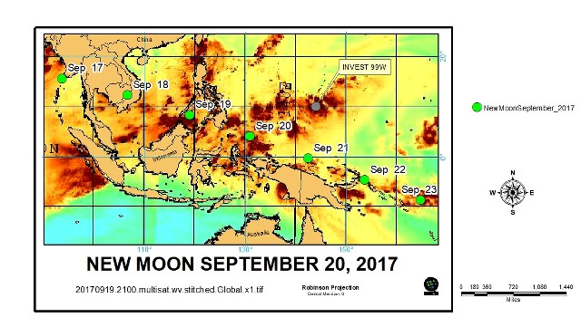
THE AREA OF CONVECTION (INVEST 99W) PREVIOUSLY LOCATED
NEAR 10.7N 144.2E, IS NOW LOCATED NEAR 11.4N 144.2E, APPROXIMATELY
120 NM SOUTH-SOUTHWEST OF ANDERSEN AFB, GUAM. ANIMATED
MULTISPECTRAL SATELLITE IMAGERY AND A 200504Z AMSU 89GHZ PARTIAL
IMAGE DEPICT AN ELONGATED AND DISORGANIZED WEAK LOW LEVEL
CIRCULATION CENTER (LLCC) WITH SCATTERED CONVECTION IN THE NORTHERN
AND EASTERN PERIPHERIES. THE UPPER LEVEL ANALYSIS REVEALS A
MODERATELY FAVORABLE ENVIRONMENT FOR DEVELOPMENT WITH WEAK VERTICAL
WIND SHEAR (10-15 KNOTS). GLOBAL MODELS ARE IN AGREEMENT
THAT THE SYSTEM WILL REMAIN WEAK AND DISSIPATE AS IT TRAVELS
WESTWARD OVER THE NEXT 24 HOURS. MAXIMUM SUSTAINED SURFACE WINDS
ARE ESTIMATED AT 10 TO 15 KNOTS. MINIMUM SEA LEVEL PRESSURE IS
ESTIMATED TO BE NEAR 1009 MB. THE POTENTIAL FOR THE DEVELOPMENT OF
A SIGNIFICANT TROPICAL CYCLONE WITHIN THE NEXT 24 HOURS IS LOW.
0 likes