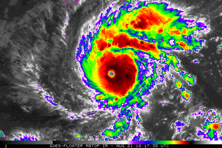
Sciencerocks wrote:Yellow Evan wrote:TPPZ01 PGTW 212355
A. HURRICANE 14E (LANE)
B. 21/2331Z
C. 14.44N
D. 153.52W
E. ONE/GOES15
F. T6.5/6.5/D1.0/24HRS STT: D0.5/03HRS
G. IR/EIR
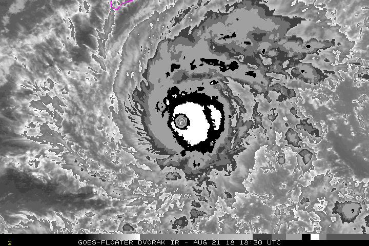
H. REMARKS: 05A/PBO IRREG EYE/ANMTN. WMG EYE SURROUNDED BY B
YIELDS AN E# OF 5.5. ADDED 1.0 FOR EYE ADJUSTMENT TO YIELD A DT
OF 6.5. MET AND PT AGREE. DBO DT.
I. ADDITIONAL POSITIONS: NONE
LOWE
Wouldn't you admit that these satellite estimates are vastly inferior compared to recon? I'd trust directly measured wind data over this any day of the week.
For sure, but comparing remote sensing estimates to ground truth (air truth?) is important for extrapolating trends as well refining intensity estimates for when ground obs aren't available.