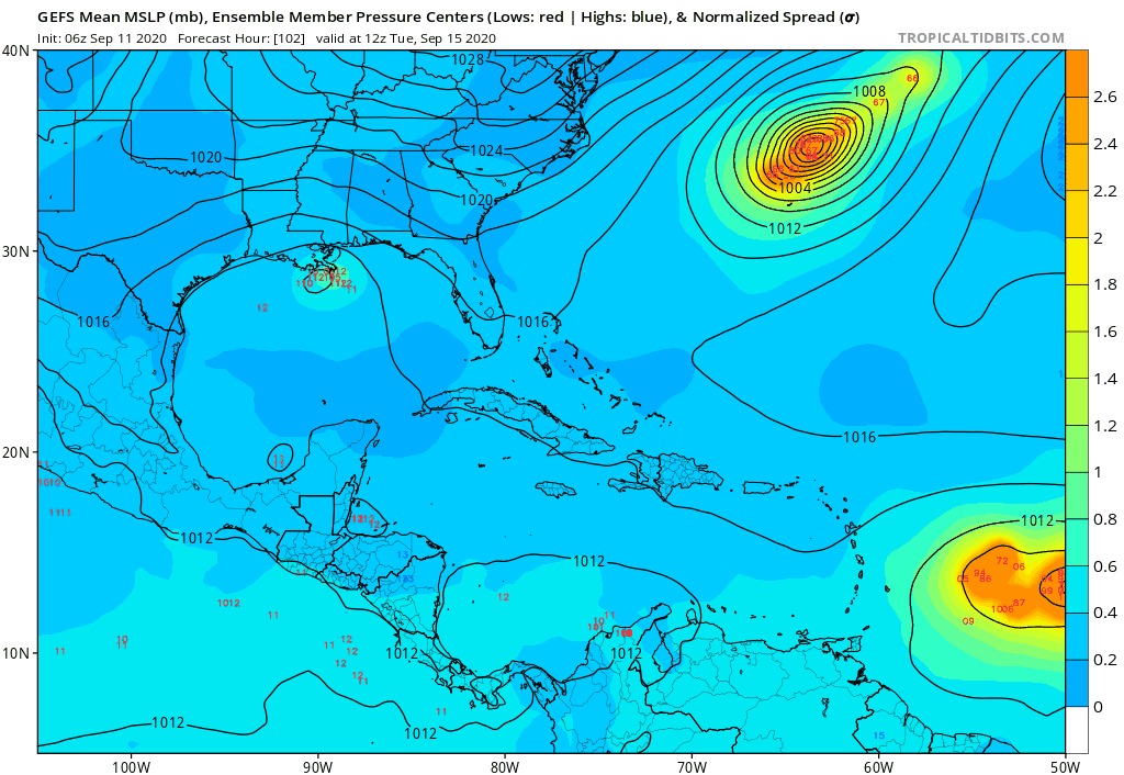
ConvergenceZone wrote:I could tell before even reading by the reduced number of posts/pages this morning that the trend is out to sea now. It’s very difficult for a long tracker to make it to USA this time of year
They'll be back when the next few GFS runs inevitably end up showing a more western trekking storm. There's no way this is going to be a major hurricane in 5 days.