
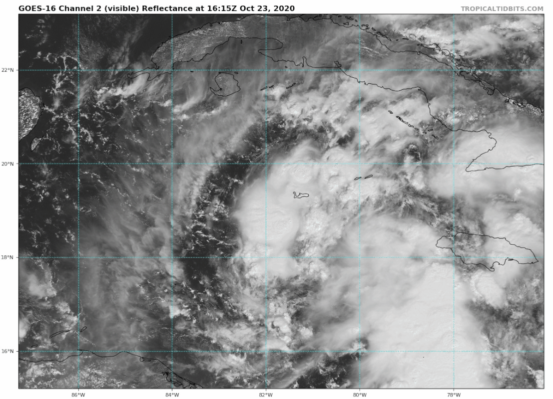
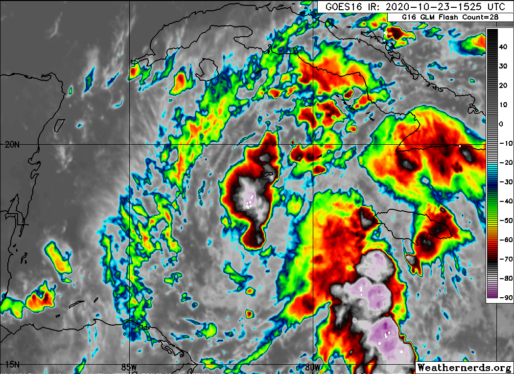
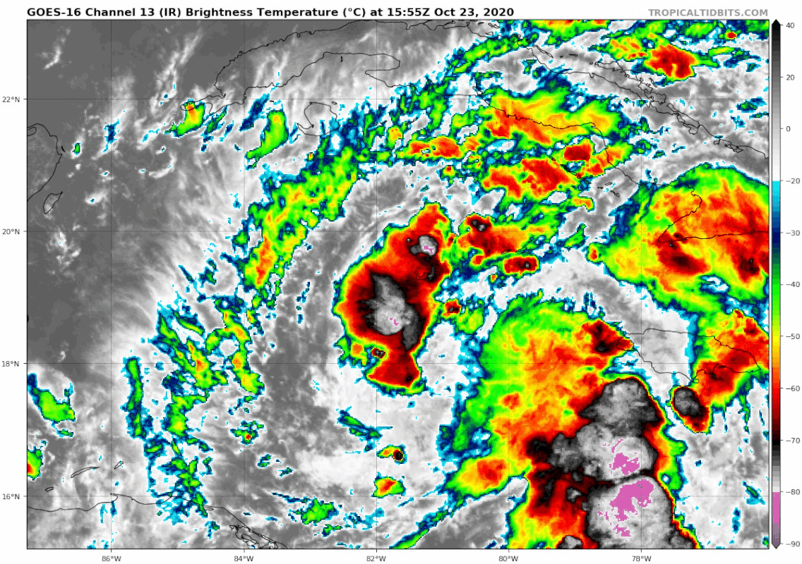
gatorcane wrote:Is coming together pretty quickly. Models playing catch-up as usual. Might see a center reformation further SE of where NHC has it.
https://i.postimg.cc/HLtRSLXC/goes16-ir-95-L-202010231555.gif
Well looking at radar. that have happened. just south of grand cayman now.


