

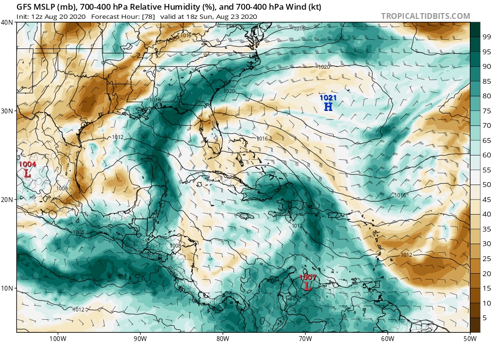
gatorcane wrote:There are still dry air issues in the Bahamas if the GFS is right. Conditions are not ideal. Also a stronger TD #14 would impose more shear too if that happens.
One thing I find in these situations from following these storms approaching Florida for years is that if you don't have BOTH the GFS and Euro on board with a hurricane, you typically lean towards the model that is more bearish. You really need both these models showing a major hurricane to be concerned.
https://i.postimg.cc/gjYjxV7T/gfs-mid-RH-watl-14.png
I think you need another 300 years or so living in FL to have experience with a weird set up like this double barrel storm. I'm not discounting the GFS or EURO, but I sure as hell am not confident.


