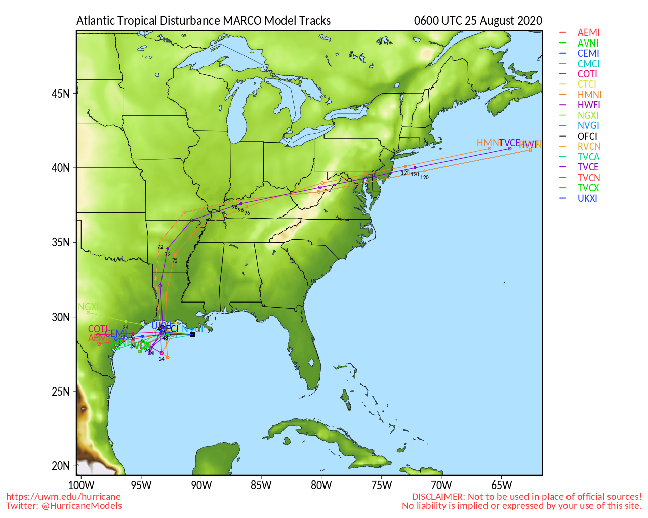
ATL: MARCO - Models
Moderator: S2k Moderators

Re: ATL: FOURTEEN - Models
Euro has a weak tropical storm making landfall south of Galveston, I think. I'm on my phone, not easy to see well.
1 likes
Personal Forecast Disclaimer:
The posts in this forum are NOT official forecast and should not be used as such. They are just the opinion of the poster and may or may not be backed by sound meteorological data. They are NOT endorsed by any professional institution or storm2k.org. For official information, please refer to the NHC and NWS products.
The posts in this forum are NOT official forecast and should not be used as such. They are just the opinion of the poster and may or may not be backed by sound meteorological data. They are NOT endorsed by any professional institution or storm2k.org. For official information, please refer to the NHC and NWS products.
-
supercane4867
- Category 5

- Posts: 4966
- Joined: Wed Nov 14, 2012 10:43 am
-
Shell Mound
- Category 5
- Posts: 2432
- Age: 33
- Joined: Thu Sep 07, 2017 3:39 pm
- Location: St. Petersburg, FL → Scandinavia
Re: ATL: FOURTEEN - Models
HWRF shows near-simultaneous landfalls on 24 August, with TD Fourteen hitting near Cocodrie, LA, and TD Thirteen passing over Key West, FL:


At the time, Fourteen is heading N and Thirteen WNW. Fourteen is then a strong Category-2 TC and Thirteen a rapidly deepening Category-4 TC.
At the time, Fourteen is heading N and Thirteen WNW. Fourteen is then a strong Category-2 TC and Thirteen a rapidly deepening Category-4 TC.
2 likes
CVW / MiamiensisWx / Shell Mound
The posts in this forum are NOT official forecasts and should not be used as such. They are just the opinion of the poster and may or may not be backed by sound meteorological data. They are NOT endorsed by any professional institution or STORM2K. For official information, please refer to products from the NHC and NWS.
-
catskillfire51
- S2K Supporter

- Posts: 480
- Age: 39
- Joined: Sun Aug 26, 2012 5:40 pm
- Location: Lake Jackson, TX

-
Shell Mound
- Category 5
- Posts: 2432
- Age: 33
- Joined: Thu Sep 07, 2017 3:39 pm
- Location: St. Petersburg, FL → Scandinavia
Re: ATL: FOURTEEN - Models
3090 wrote:catskillfire51 wrote:6z GFS into Galveston Bay
No change really
The GFS continues to follow the ECMWF in showing a stronger ridge that drives TD Fourteen farther W in the GoM before gradually turning N.

Edit: 06Z HWRF already shows Tropical Storm Laura within the next six hours, while TD Thirteen is still shown to be a depression at that time:

0 likes
CVW / MiamiensisWx / Shell Mound
The posts in this forum are NOT official forecasts and should not be used as such. They are just the opinion of the poster and may or may not be backed by sound meteorological data. They are NOT endorsed by any professional institution or STORM2K. For official information, please refer to products from the NHC and NWS.
-
wxman57

- Moderator-Pro Met

- Posts: 23170
- Age: 68
- Joined: Sat Jun 21, 2003 8:06 pm
- Location: Houston, TX (southwest)
Re: ATL: FOURTEEN - Models
A stronger Fourteen would be picked up by the trof to the north and accelerated quickly toward SE LA. A weaker system may not be picked up and/or may stall in the Gulf and dissipate as 13 moves into the eastern Gulf. It's highly unlikely we'll have two hurricanes in the Gulf making landfall hours apart on the northern Gulf coast just 350 miles from each other.
5 likes
-
catskillfire51
- S2K Supporter
- Posts: 480
- Age: 39
- Joined: Sun Aug 26, 2012 5:40 pm
- Location: Lake Jackson, TX

Re: ATL: FOURTEEN - Models
06Z just buries 14L in Central America south of Belize, that would be easy on the warnings crew.
HWRF has been chosen to show the stronger depictions, 14L going in near the Central Louisiana coastline followed by a 936 MB bad dream making landfall just east of Mobile.
HWRF has been chosen to show the stronger depictions, 14L going in near the Central Louisiana coastline followed by a 936 MB bad dream making landfall just east of Mobile.
0 likes
-
Extratropical94

- Professional-Met

- Posts: 3545
- Age: 31
- Joined: Wed Oct 20, 2010 6:36 am
- Location: Hamburg, Germany
- Contact:
Re: ATL: FOURTEEN - Models
Shell Mound wrote:3090 wrote:catskillfire51 wrote:6z GFS into Galveston Bay
No change really
The GFS continues to follow the ECMWF in showing a stronger ridge that drives TD Fourteen farther W in the GoM before gradually turning N.
https://www.tropicaltidbits.com/analysis/models/gfs/2020082106/gfs_z500trend_atl_7.png
Edit: 06Z HWRF already shows Tropical Storm Laura within the next six hours, while TD Thirteen is still shown to be a depression at that time:
https://www.tropicaltidbits.com/analysis/models/hwrf/2020082106/hwrf_mslp_wind_14L_3.png
06Z HWRF intensifies it too quickly. The current pressure is 1008-1009mb instead of 1001mb, and I have my doubts that 14L will be down to 991mb nine hours from now.
4 likes
54° 11' 59'' N, 9° 9' 20'' E
Boomer Sooner!
Go Broncos! Go Cards!
Clinching counties, one at a time: https://mob-rule.com/user-gifs/USA/xtrp94.gif
- Daniel
Boomer Sooner!
Go Broncos! Go Cards!
Clinching counties, one at a time: https://mob-rule.com/user-gifs/USA/xtrp94.gif
- Daniel
-
chris_fit

- Category 5
- Posts: 3261
- Age: 43
- Joined: Wed Sep 10, 2003 11:58 pm
- Location: Tampa Bay Area, FL
Re: ATL: FOURTEEN - Models
06Z EURO actually has something that resembles a TS around the Keys. Most of the heavy weather north of the CoC.
Edit: Meant to post this in the 13 Thread, sorry, but I'll leave this here as it shows 14 as well

Edit: Meant to post this in the 13 Thread, sorry, but I'll leave this here as it shows 14 as well
Last edited by chris_fit on Fri Aug 21, 2020 7:37 am, edited 1 time in total.
0 likes


Re: ATL: FOURTEEN - Models
Shell Mound wrote:HWRF shows near-simultaneous landfalls on 24 August, with TD Fourteen hitting near Cocodrie, LA, and TD Thirteen passing over Key West, FL:
https://www.tropicaltidbits.com/analysis/models/hwrf/2020082100/hwrf_mslp_wind_14L_30.png
https://www.tropicaltidbits.com/analysis/models/hwrf/2020082100/hwrf_mslp_wind_13L_30.png
At the time, Fourteen is heading N and Thirteen WNW. Fourteen is then a strong Category-2 TC and Thirteen a rapidly deepening Category-4 TC.
If i recall, the HWRF blew up Hannah to quite the storm as well.
0 likes
-
stormlover2013
Re: ATL: FOURTEEN - Models
0 likes
-
Nederlander
- S2K Supporter
- Posts: 1259
- Joined: Sat Jul 19, 2008 4:28 pm
- Location: Conroe, TX
Re: ATL: FOURTEEN - Models
stormlover2013 wrote:https://www.tropicaltidbits.com/analysis/models/?model=navgem®ion=watl&pkg=mslp_pcpn&runtime=2020082106&fh=108
the ole navy model lol
That’s a pretty realistic solution actually
0 likes
Re: ATL: FOURTEEN - Models
What in the world did the GFS do with this, bury it?
Nevermind, I see it, TropicalTidbits was showing me another model for some reason.
Nevermind, I see it, TropicalTidbits was showing me another model for some reason.
0 likes
Personal Forecast Disclaimer:
The posts in this forum are NOT official forecast and should not be used as such. They are just the opinion of the poster and may or may not be backed by sound meteorological data. They are NOT endorsed by any professional institution or storm2k.org. For official information, please refer to the NHC and NWS products.
The posts in this forum are NOT official forecast and should not be used as such. They are just the opinion of the poster and may or may not be backed by sound meteorological data. They are NOT endorsed by any professional institution or storm2k.org. For official information, please refer to the NHC and NWS products.
-
stormlover2013

Re: ATL: FOURTEEN - Models
This is the first I'm looking at models this morning, so it's mostly a recap of what probably everyone else has already seen.
GFS 06z
14 - weak system landfall near Galveston Tuesday afternoon
Laura - Not much, very weak circulation off of Mobile/Pensacola
https://www.tropicaltidbits.com/analysi ... 106&fh=108
HRWF 06z
14 - Landfalls a 970 (Cat 2) early AM Tuesday near Grand Chenier, LA (Rockefeller Wildlife Refuge area)
Laura - 957 through FL Keys Monday afternoon; 940's landfall likely in Baldwin or Mobile County sometime Wednesday afternoon or evening
https://www.tropicaltidbits.com/analysi ... 2106&fh=99
https://www.tropicaltidbits.com/analysi ... 106&fh=126
HMON 06z
14 - Landfalls Vermilion Bay, LA Monday afternoon as 976 (Cat 2)
Laura - Washes out after being torn up by the islands and is at 1008 in the middle of the Gulf about 26.6N 92.2W as a weak remnant low
https://www.tropicaltidbits.com/analysi ... 2106&fh=87
https://www.tropicaltidbits.com/analysi ... 106&fh=126
ICON 06z
14 - Landfalls a week circulation also near Vermilion Bay Tuesday (sits near the coast for a couple days). Possible depression
Laura - Headed for SE Mississippi as a decent TS (1003) overnight hours of Wednesday am.
https://www.tropicaltidbits.com/analysi ... 106&fh=102
https://www.tropicaltidbits.com/analysi ... 106&fh=120
NAVGEM 06z
14 - Landfalls a decent Cat 2 (975mb) just north of Galveston Bay Tuesday evening
Laura - Weak system landfalls near Cross City, FL around midnight Monday night
https://www.tropicaltidbits.com/analysi ... 106&fh=114
https://www.tropicaltidbits.com/analysi ... 2106&fh=96
NAM 12km @ 12z
14 - Traveling toward the TX Coast weak
Laura - Crossing the western side of Cuba @ 1004
https://www.tropicaltidbits.com/analysi ... 2112&fh=84
Overall model plots from SFWMD
14 - SE Texas (TVCN very close to the coast SE of Port Arthur (McFadden Wildlife Refuge)
https://www.sfwmd.gov/weather-radar/hur ... odel-plots
Laura - South Alabama (TVCN is right to the AL/MS Border (Grand Bay area)
https://www.sfwmd.gov/weather-radar/hur ... odel-plots
5 likes
Re: ATL: FOURTEEN - Models
12z ICON
14 - weak and winding down off the SE TX Coast
Laura - Hits Harrison County, MS (Gulfport/Biloxi) late Tuesday night.
https://www.tropicaltidbits.com/analysi ... 112&fh=111
14 - weak and winding down off the SE TX Coast
Laura - Hits Harrison County, MS (Gulfport/Biloxi) late Tuesday night.
https://www.tropicaltidbits.com/analysi ... 112&fh=111
0 likes
Re: ATL: FOURTEEN - Models
Steve wrote:12z ICON
14 - weak and winding down off the SE TX Coast
Laura - Hits Harrison County, MS (Gulfport/Biloxi) late Tuesday night.
https://www.tropicaltidbits.com/analysi ... 112&fh=111
Looks like the ICON has it interacting with Laura, causing her to be the more dominant of the two.
1 likes
Personal Forecast Disclaimer:
The posts in this forum are NOT official forecast and should not be used as such. They are just the opinion of the poster and may or may not be backed by sound meteorological data. They are NOT endorsed by any professional institution or storm2k.org. For official information, please refer to the NHC and NWS products.
The posts in this forum are NOT official forecast and should not be used as such. They are just the opinion of the poster and may or may not be backed by sound meteorological data. They are NOT endorsed by any professional institution or storm2k.org. For official information, please refer to the NHC and NWS products.
Who is online
Users browsing this forum: No registered users and 19 guests