
galvestontx wrote:Highteeld wrote:https://twitter.com/SylvesterTurner/status/1298318546976595972
Conspiracy theory, what does he know? Ohhhhhhhh
"You should be where you are at that time. #houwx"
well no kidding Sylvester.
Moderator: S2k Moderators
galvestontx wrote:Highteeld wrote:https://twitter.com/SylvesterTurner/status/1298318546976595972
Conspiracy theory, what does he know? Ohhhhhhhh


ConvergenceZone wrote:I haven’t seen Jim Cantore live yet. I wonder if he’s taking this storm off?
Blinhart wrote:Ok, just finished with doing the sand bags to the back door, cleaned out the gutters, and brought in the majority of all furniture from outside. Tomorrow morning after waking up and seeing what is going on, will decided if I need to sand bag the 2 front doors, got a old shower door to dam up my back french doors. Hopefully I won't have to do those things and this thing will be going closer to Houston than closer to me.

AnnularCane wrote:
Being on the left side didn't help New Orleans much for Katrina, although I'm guessing Houston's infrastructure isn't entirely the same. I guess it still floods easily there though, does it?


AlabamaDave wrote:AnnularCane wrote:
Being on the left side didn't help New Orleans much for Katrina, although I'm guessing Houston's infrastructure isn't entirely the same. I guess it still floods easily there though, does it?
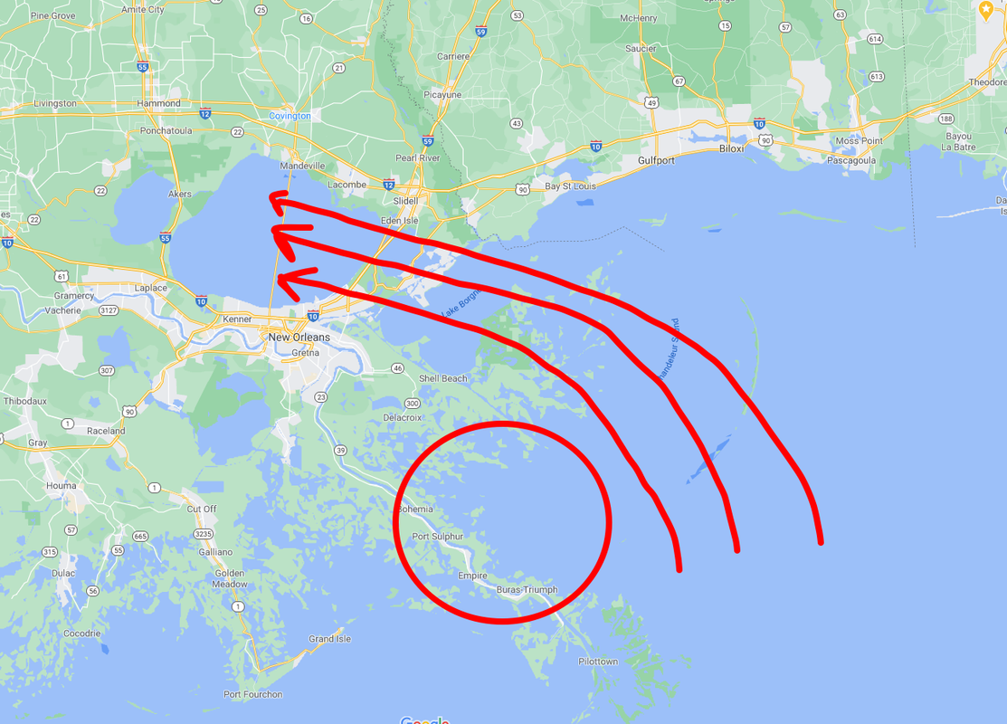
Someone correct me if I'm wrong, but I think most of NOLA's problems with Katrina came from the configuration of the bodies of water to the east and north of the city. As Katrina approached, she shoved a ton of water into Lake Borgne and Lake Pontchartrain around the north side of the circulation, which then rushed into the canal system of the city, overtopping and collapsing levees. Winds were not that big of an issue comparatively (probably Cat-1 sustained in the city?).
https://i.postimg.cc/NMpn3gZm/Katrina.png
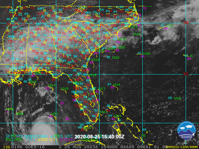
KWT wrote:Yep weak eye getting filled over by the convection around the eyewall, a sure sign that this system is intensifying. Recon heading into Laura at the moment so we will get a better idea of where its current strength is.
Probably has a solid 24hrs of strengthening about to happen.
eastcoastFL wrote:GCANE wrote:eastcoastFL wrote:
Do you see any of your rosby waves or AWRBs around the gulf?
The Rossby Wave is outlined by the 250mb vort. Its driving the trough to Laura's west.
The ARWB is the big area of low to no shear where Laura is sitting in the middle of.
https://i.imgur.com/9x323f4.png
https://i.imgur.com/lcxXLc8.png
Thank you! My gcane bat signal worked and I got the info I was looking for!
Nederlander wrote:AlabamaDave wrote:AnnularCane wrote:
Being on the left side didn't help New Orleans much for Katrina, although I'm guessing Houston's infrastructure isn't entirely the same. I guess it still floods easily there though, does it?
Someone correct me if I'm wrong, but I think most of NOLA's problems with Katrina came from the configuration of the bodies of water to the east and north of the city. As Katrina approached, she shoved a ton of water into Lake Borgne and Lake Pontchartrain around the north side of the circulation, which then rushed into the canal system of the city, overtopping and collapsing levees. Winds were not that big of an issue comparatively (probably Cat-1 sustained in the city?).
Yeah, it was her angle of approach. Southern MS sustained the most damage from winds
Steve wrote:Possibly in the future they will move more storm drainage to the MS River where it can flow out rather than just being backed up.
Kazmit wrote:The north side is looking better and it's starting to get more symmetrical.
Midday today:
https://img.techpowerup.org/200825/screenshot-2020-08-25-at-11-39-21-am.png
Now:
https://img.techpowerup.org/200825/ganimm7ijxe10.jpg
Users browsing this forum: No registered users and 9 guests


