AnnularCane wrote:cfisher wrote:The way Laura has been strengthening makes me think it's less likely it "overheats" before landfall.
They "overheat?" What does that mean?
Gets too strong too quick and chokes itself out, potentially thru an ERC.
Moderator: S2k Moderators
AnnularCane wrote:cfisher wrote:The way Laura has been strengthening makes me think it's less likely it "overheats" before landfall.
They "overheat?" What does that mean?


psyclone wrote:hohnywx wrote:Fancy1001 wrote:I'm just thinking of charley and how they screwed up its turn.
That was 16 years ago. Track forecasting has improved. And they are the best of the best.
In addition Charley was a pint sized bullet. more like giant tornado. Laura is a massive steamroller

FLpanhandle91 wrote:Nawtamet wrote:Looking at the visible it seems like the NW quadrant is being eroded away.
Dry air perhaps?
If you peak at some of the 1-minute imagery, you can see that appeared to be a bit of dry air but it is now being exhausted out of the system. Solid eyewall on IR is beginning to take shape again.


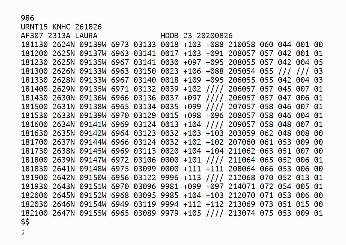
Highteeld wrote:too bad the recon data are missing again
dantonlsu wrote:
Yikes!
wkwally wrote:dantonlsu wrote:
Yikes!
That would put in Houston in play again


tolakram wrote:FLpanhandle91 wrote:Nawtamet wrote:Looking at the visible it seems like the NW quadrant is being eroded away.
Dry air perhaps?
If you peak at some of the 1-minute imagery, you can see that appeared to be a bit of dry air but it is now being exhausted out of the system. Solid eyewall on IR is beginning to take shape again.
That left side is about where the shear axis is. Laura is expected to turn and move more NW and north, just barely getting into that higher shear zone before landfall.
Nawtamet wrote:tolakram wrote:FLpanhandle91 wrote:
If you peak at some of the 1-minute imagery, you can see that appeared to be a bit of dry air but it is now being exhausted out of the system. Solid eyewall on IR is beginning to take shape again.
That left side is about where the shear axis is. Laura is expected to turn and move more NW and north, just barely getting into that higher shear zone before landfall.
Chris_in_Tampa wrote:SATELLITE
NOAA STAR:
https://www.star.nesdis.noaa.gov/GOES/f ... d=AL132020
RAMMB/CIRA:
https://rammb-data.cira.colostate.edu/t ... r=al132020
CIMSS:
http://tropic.ssec.wisc.edu/real-time/s ... 000&loop=0
(Site experienced a power outage overnight and some things might not be available or might be out of date)
RAMMB/CIRA SLIDER (hard to operate sometimes):
GeoColor: https://rammb-slider.cira.colostate.edu ... 5068.21875
IR: https://rammb-slider.cira.colostate.edu ... 5068.21875
Visible: https://rammb-slider.cira.colostate.edu ... 5068.21875
College of DuPage:
IR: https://weather.cod.edu/satrad/?parms=s ... =undefined
Visible: https://weather.cod.edu/satrad/?parms=s ... =undefined
Tropical Tidbits:
IR: https://www.tropicaltidbits.com/sat/sat ... product=ir
Visible: https://www.tropicaltidbits.com/sat/sat ... roduct=vis
NASA MSFC:
IR: https://weather.msfc.nasa.gov/cgi-bin/g ... te=ir2.pal
Visible: https://weather.msfc.nasa.gov/cgi-bin/g ... olor=white
Closeup Visible: https://weather.msfc.nasa.gov/cgi-bin/g ... olor=black
From: https://weather.msfc.nasa.gov/GOES/
1 minute satellite imagery:
NOAA STAR:
https://www.star.nesdis.noaa.gov/GOES/meso_index.php
On mesoscale page, click latest for Gulf of Mexico where the storm is.
Band 2 for visible. Band 13 for IR.
College of DuPage:
IR: https://weather.cod.edu/satrad/?parms=m ... =undefined
Visible: https://weather.cod.edu/satrad/?parms=m ... =undefined
NASA SPORT:
IR: https://weather.msfc.nasa.gov/cgi-bin/s ... ct=10p35um
Other Satellite Imagery:
SSEC RealEarth is out of date at the moment, or unavailable, for the following after suffering a power outage last night:
SSEC RealEarth GOES East Full Disk (every 10 minute):
https://realearth.ssec.wisc.edu/?produc ... ter=27,-90
SSEC RealEarh Global Imagery (like AVN, hourly):
https://realearth.ssec.wisc.edu/?center ... obalir-avn
RADAR
Lake Charles, Louisiana radar and some that have a composite of radar sites.
NWS:
https://radar.weather.gov/radar.php?rid ... 11&loop=no
Multi-Radar/Multi-Sensor System (MRMS) from NOAA National Severe Storms Laboratory:
https://mrms.nssl.noaa.gov/qvs/product_ ... s_step=600
A few different views from Lake Charles radar and others:
http://moe.met.fsu.edu/~mnissenbaum/radar.html
Plymouth State Weather Center:
https://vortex.plymouth.edu/cgi-bin/rad ... &ident=LCH
Weather Underground. In drop down menu, select 248nm range:
https://www.wunderground.com/radar/us/l ... harles/lch
Wundermap:
https://www.wunderground.com/wundermap? ... rm-cells=0
Experimental NWS Radar Display:
https://preview-radar.weather.gov/?sett ... xzZX0%3D#/
(subject to being unavailable)
Tropical Cyclone Radar Loops:
http://andrew.rsmas.miami.edu/bmcnoldy/tropics/radar/
Long updating loops of Laura.
Radar Floater:
http://rammb.cira.colostate.edu/ramsdis ... _and_Radar
Where you could view a 200 image loop of Laura at the moment:
http://rammb.cira.colostate.edu/ramsdis ... isplay=200
Another NWS interactive map:
https://www.wrh.noaa.gov/map/?radar=true
RealEarth is just coming back online so might have issues:
https://realearth.ssec.wisc.edu/?produc ... ew=leaflet
OTHER LINKS
Current Tide Levels:
https://tidesandcurrents.noaa.gov/inund ... Laura.html
River levels:
https://water.weather.gov/ahps/
Buoys:
https://www.ndbc.noaa.gov/
Local NWS Products:
https://www.nhc.noaa.gov/text/refresh/index_hls3+shtml/
Potential Storm Surge Flooding Map (Inundation):
https://www.nhc.noaa.gov/refresh/graphi ... n#contents

wkwally wrote:dantonlsu wrote:
Yikes!
That would put in Houston in play again
Users browsing this forum: No registered users and 210 guests


