ATL: TEDDY - Models
Moderator: S2k Moderators
-
chris_fit

- Category 5

- Posts: 3261
- Age: 43
- Joined: Wed Sep 10, 2003 11:58 pm
- Location: Tampa Bay Area, FL
Re: ATL: INVEST 95L - Models
Looks like it's going to recurve again, a little further E than 00Z Run
0 likes
-
chris_fit
- Category 5
- Posts: 3261
- Age: 43
- Joined: Wed Sep 10, 2003 11:58 pm
- Location: Tampa Bay Area, FL
Re: ATL: INVEST 95L - Models
Door is wide open right now, but will the ridge rebuild? Being that it's mid-late Sept by now, going with a No.

1 likes

-
SouthFLTropics

- Category 5
- Posts: 4258
- Age: 50
- Joined: Thu Aug 14, 2003 8:04 am
- Location: Port St. Lucie, Florida
Re: ATL: INVEST 95L - Models
Hour 198...the door may be closing. It’s going to be close.
Sent from my iPhone using Tapatalk
Sent from my iPhone using Tapatalk
0 likes
Fourth Generation Florida Native
Personal Storm History: David 79, Andrew 92, Erin 95, Floyd 99, Irene 99, Frances 04, Jeanne 04, Wilma 05, Matthew 16, Irma 17, Ian 22, Nicole 22, Milton 24
Personal Storm History: David 79, Andrew 92, Erin 95, Floyd 99, Irene 99, Frances 04, Jeanne 04, Wilma 05, Matthew 16, Irma 17, Ian 22, Nicole 22, Milton 24
-
chris_fit
- Category 5
- Posts: 3261
- Age: 43
- Joined: Wed Sep 10, 2003 11:58 pm
- Location: Tampa Bay Area, FL
Re: ATL: INVEST 95L - Models
Ridge trying to rebuild a little bit @ 200hrs, trough is moving on out - will it make the connection? Still meandering N of PR.
0 likes

Re: ATL: INVEST 95L - Models
chris_fit wrote:Ridge trying to rebuild a little bit @ 200hrs, trough is moving on out - will it make the connection? Still meandering N of PR.
What are the chances of Sally trying to succeed where dorian failed?
0 likes

-
chris_fit
- Category 5
- Posts: 3261
- Age: 43
- Joined: Wed Sep 10, 2003 11:58 pm
- Location: Tampa Bay Area, FL
Re: ATL: INVEST 95L - Models
You can definitely see it slow down and hesitate near the islands, gonna be a close one.... Anything after this is pure speculation, it does recurve around 65W so a decent E Shift compared to 00Z Run.
1 likes
-
SouthFLTropics
- Category 5
- Posts: 4258
- Age: 50
- Joined: Thu Aug 14, 2003 8:04 am
- Location: Port St. Lucie, Florida
Re: ATL: INVEST 95L - Models
Looks like another trough coming in at 210 will hold the door open.
Sent from my iPhone using Tapatalk
Sent from my iPhone using Tapatalk
1 likes
Fourth Generation Florida Native
Personal Storm History: David 79, Andrew 92, Erin 95, Floyd 99, Irene 99, Frances 04, Jeanne 04, Wilma 05, Matthew 16, Irma 17, Ian 22, Nicole 22, Milton 24
Personal Storm History: David 79, Andrew 92, Erin 95, Floyd 99, Irene 99, Frances 04, Jeanne 04, Wilma 05, Matthew 16, Irma 17, Ian 22, Nicole 22, Milton 24
-
SFLcane

- S2K Supporter

- Posts: 10281
- Age: 48
- Joined: Sat Jun 05, 2010 1:44 pm
- Location: Lake Worth Florida
Re: ATL: INVEST 95L - Models
chris_fit wrote:You can definitely see it slow down and hesitate near the islands, gonna be a close one.... Anything after this is pure speculation, it does recurve around 65W so a decent E Shift compared to 00Z Run.
West trends might be done. Signal for a recurve near 65-70w continues.
2 likes
-
hurricaneCW
- Category 5
- Posts: 1799
- Joined: Wed Mar 03, 2010 6:20 am
- Location: Toms River, NJ
Re: ATL: INVEST 95L - Models
SFLcane wrote:chris_fit wrote:You can definitely see it slow down and hesitate near the islands, gonna be a close one.... Anything after this is pure speculation, it does recurve around 65W so a decent E Shift compared to 00Z Run.
West trends might be done. Signal for a recurve near 65-70w continues.
Islands to Bermuda most at risk right now. Very little ridging in the Atlantic, a huge difference compared to June-mid August.
The next CONUS risk will likely be from the western Caribbean or if a weak wave can make it far enough west.
Paulette & Sally likely to be big ACE producers as both may become majors eventually.
0 likes
-
Blown Away

- S2K Supporter
- Posts: 10253
- Joined: Wed May 26, 2004 6:17 am
Re: ATL: INVEST 95L - Models
Recent model runs it’s more about 95L slowing forward speed, feeling the trough farther E, and deepening farther E gaining latitude to miss the NE Caribbean...
0 likes
Hurricane Eye Experience: David 79, Irene 99, Frances 04, Jeanne 04, Wilma 05… Hurricane Brush Experience: Andrew 92, Erin 95, Floyd 99, Matthew 16, Irma 17, Ian 22, Nicole 22…

-
SFLcane
- S2K Supporter
- Posts: 10281
- Age: 48
- Joined: Sat Jun 05, 2010 1:44 pm
- Location: Lake Worth Florida
Re: ATL: INVEST 95L - Models
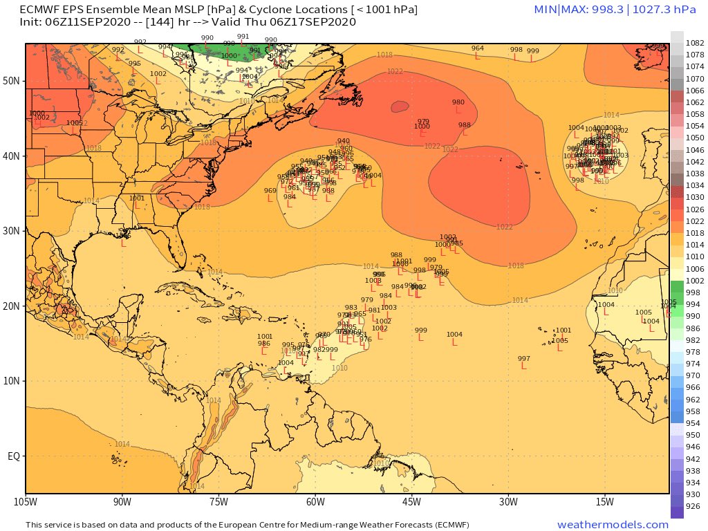
Yes huge spread. I was surprised by the amount of 00z eps members near FL.
1 likes
-
TheStormExpert
Re: ATL: INVEST 95L - Models
SFLcane wrote:
Yes huge spread. I was surprised by the amount of 00z eps members near FL.
I’m surprised too. I’m expecting that to change on future model runs. Late September favors a recurve but the Eastern Caribbean islands could be threatened first.
1 likes
-
SFLcane
- S2K Supporter
- Posts: 10281
- Age: 48
- Joined: Sat Jun 05, 2010 1:44 pm
- Location: Lake Worth Florida
Re: ATL: INVEST 95L - Models
06z EPS Definitely a SW shift compared to 00z bit still big spread.
1 likes
-
Hypercane_Kyle

- Category 5
- Posts: 3465
- Joined: Sat Mar 07, 2015 7:58 pm
- Location: Cape Canaveral, FL
Re: ATL: INVEST 95L - Models
FWIW, 06z GFS and 06z HWRF both have 95L nearing major hurricane status in roughly 5 days. Even the Euro has it as an upper end cat 2 in 6 days.
While that's not impossible, the trend this year as far as MDR storms have been is weaker due to wind shear and dry air intrusion. Just something to keep in mind.
While that's not impossible, the trend this year as far as MDR storms have been is weaker due to wind shear and dry air intrusion. Just something to keep in mind.
1 likes
My posts are my own personal opinion, defer to the National Hurricane Center (NHC) and other NOAA products for decision making during hurricane season.
-
ConvergenceZone
.gif)
- Category 5
- Posts: 5241
- Joined: Fri Jul 29, 2005 1:40 am
- Location: Northern California
Re: ATL: INVEST 95L - Models
I could tell before even reading by the reduced number of posts/pages this morning that the trend is out to sea now. It’s very difficult for a long tracker to make it to USA this time of year
1 likes
-
ElectricStorm

- Category 5
- Posts: 5140
- Age: 25
- Joined: Tue Aug 13, 2019 11:23 pm
- Location: Norman, OK
Re: ATL: INVEST 95L - Models
ConvergenceZone wrote:I could tell before even reading by the reduced number of posts/pages this morning that the trend is out to sea now. It’s very difficult for a long tracker to make it to USA this time of year
It could still affect land IMO. still to early to know for sure. I think the main reason this one doesn't have all the attention right now is because of 96L staring the gulf coast in the face
1 likes
B.S Meteorology, University of Oklahoma '25
Please refer to the NHC, NWS, or SPC for official information.
Please refer to the NHC, NWS, or SPC for official information.
Who is online
Users browsing this forum: No registered users and 83 guests