BULLETIN
Tropical Depression Two-E Advisory Number 1
NWS National Hurricane Center Miami FL EP022021
400 PM CDT Sun May 30 2021
...SECOND TROPICAL DEPRESSION OF THE 2021 EASTERN NORTH PACIFIC
HURRICANE SEASON FORMS WELL TO THE SOUTHWEST OF MEXICO...
SUMMARY OF 400 PM CDT...2100 UTC...INFORMATION
----------------------------------------------
LOCATION...11.3N 103.8W
ABOUT 535 MI...855 KM S OF MANZANILLO MEXICO
MAXIMUM SUSTAINED WINDS...35 MPH...55 KM/H
PRESENT MOVEMENT...WNW OR 300 DEGREES AT 9 MPH...15 KM/H
MINIMUM CENTRAL PRESSURE...1006 MB...29.71 INCHES
WATCHES AND WARNINGS
--------------------
There are no coastal watches or warnings in effect.
DISCUSSION AND OUTLOOK
----------------------
At 400 PM CDT (2100 UTC), the center of newly formed Tropical
Depression Two-E was located near latitude 11.3 North, longitude
103.8 West. The depression is moving toward the west-northwest near
9 mph (15 km/h), and this general motion is expected to continue
for the next few days. On the forecast track, the tropical cyclone
should remain well offshore the southwestern coast of Mexico.
Maximum sustained winds are near 35 mph (55 km/h) with higher gusts.
Strengthening is forecast during the next 48 hours, and the system
is expected to become a tropical storm later tonight.
The estimated minimum central pressure is 1006 mb (29.71 inches).
HAZARDS AFFECTING LAND
----------------------
None.
NEXT ADVISORY
-------------
Next complete advisory at 1000 PM CDT.
$$
Forecaster Stewart
Tropical Depression Two-E Discussion Number 1
NWS National Hurricane Center Miami FL EP022021
400 PM CDT Sun May 30 2021
The area of low pressure that the National Hurricane Center has been
monitoring the past few days well offshore the southwestern coast of
Mexico has continued to become better organized today and, thus, has
now been upgraded to tropical depression status -- the second
depression of the 2021 eastern North Pacific hurricane season. The
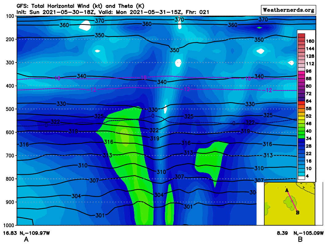
initial intensity of 30 kt is based on an ASCAT-A scatterometer pass
at 1442Z that showed several 30-32 kt surface wind vectors located
northwest through north-northeast of the center. Dvorak satellite
intensity estimates at 1800Z were 30 kt from TAFB and 35 kt from
SAB, respectively, a further indication that the cyclone is just
below tropical storm strength.
The initial motion estimate is an uncertain 300/08 kt. Although
recent hi-resolution visible satellite imagery indicates that the
depression has developed a tight, inner-core low-level vortex during
the past few hours, this feature has no continuity. Thus, there is
uncertainty in both the direction and speed of the cyclone at this
time. However, the global and regional models show a general
west-northwestward motion between 8-12 kt around the western
periphery of a deep-layer ridge continuing for the next 3-5 days.
The NHC official track forecast follows that scenario, and lies
between the HCCA corrected consensus model to the left of the
forecast track and the TVCE simple consensus model on the right.
The overall environment appears to be conducive for strengthening
during the next 72 h or so based on SSTs of 29.0-29.5 deg C,
mid-level humidity values of 70-75 percent, and low deep-layer
vertical wind shear of 5-10 kt. The only fly-in-the- ointment is
that both the GFS and ECMWF models show the instability decreasing
to about half its current value by 48 hours. As a result, the
global and regional models, and the SHIPS-LGEM model show the
cyclone peaking at about 45 kt in 36-48 h, followed by gradual
weakening thereafter. In contrast, the SHIPS dynamical-statistical
model intensifies the cyclone to about 55 kt in 48-72 h, then
followed by gradual weakening; the HCCA consensus model is similar
to the SHIPS (DSHP) forecast. Given the aforementioned favorable
environmental parameters, the official intensity forecast is a based
on a blend of the HCCA and Decay-SHIPS intensity models, and lies a
little above the IVCN intensity consensus model.
FORECAST POSITIONS AND MAX WINDS
INIT 30/2100Z 11.3N 103.8W 30 KT 35 MPH
12H 31/0600Z 11.9N 105.2W 40 KT 45 MPH
24H 31/1800Z 12.8N 107.3W 45 KT 50 MPH
36H 01/0600Z 13.5N 109.1W 50 KT 60 MPH
48H 01/1800Z 14.2N 110.7W 55 KT 65 MPH
60H 02/0600Z 14.6N 111.7W 55 KT 65 MPH
72H 02/1800Z 15.0N 112.5W 50 KT 60 MPH
96H 03/1800Z 15.4N 113.3W 50 KT 60 MPH
120H 04/1800Z 16.0N 114.7W 45 KT 50 MPH
$$
Forecaster Stewart