CronkPSU wrote:is recon out there? is it showing any deepening and winds mixing down?
They're about to make a center pass shortly
Moderator: S2k Moderators


CronkPSU wrote:is recon out there? is it showing any deepening and winds mixing down?
IcyTundra wrote:Henri is going to be like a noreaster right side will be the windy side with more storm surge while the left side gets most of the precipitation.


Kohlecane wrote:mention of a double eyewall formation on radar that will replace and rebuild back a tighter one, wonder if this will disrupt some of the pressures recon is getting trying to swing through
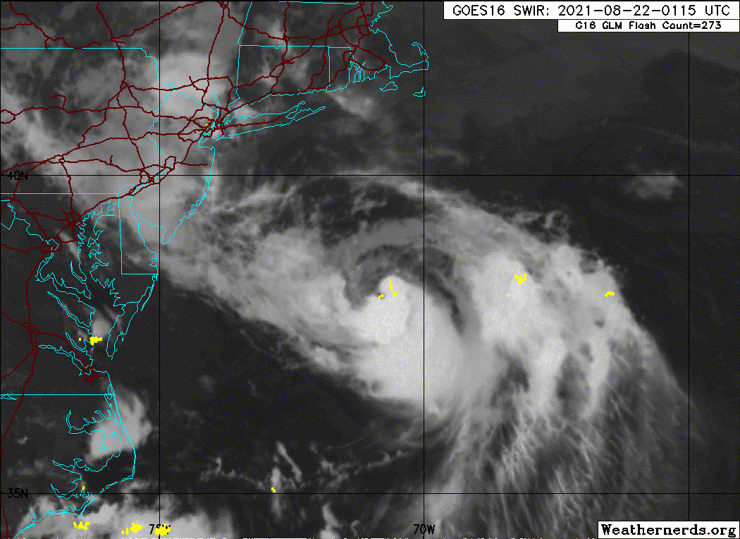
Kohlecane wrote:CronkPSU wrote:Kohlecane wrote:https://weather.cod.edu/satrad/?parms=s ... =undefined
This loop Is very interesting to me you can see that ULL really pulling this in
good call on that loop and ULL...hit that left turn a lot harder than i thought it would
Now the million dollar question is how much more of the component will pull it further, Just interesting to me, like you said thats a hard jog if you watch it on larger frames as opposed to a basic 12/24
Cat5James wrote:There is a clear westward component now on radar. I’m going to say there’s no way this completely misses Montaulk
Hammy wrote:Have we actually gotten any hurricane-force winds at the surface this flight? Seems like it's not mixing down to the surface much.

Users browsing this forum: No registered users and 18 guests