Cypresso wrote:Stormgodess wrote:
See this is what scares me to death about these early conservative forcasts on strength. To most Louisiana Diehards a Cat 2 is nothing if they call for evacs last minute in New Orleans its going ot be horrible.
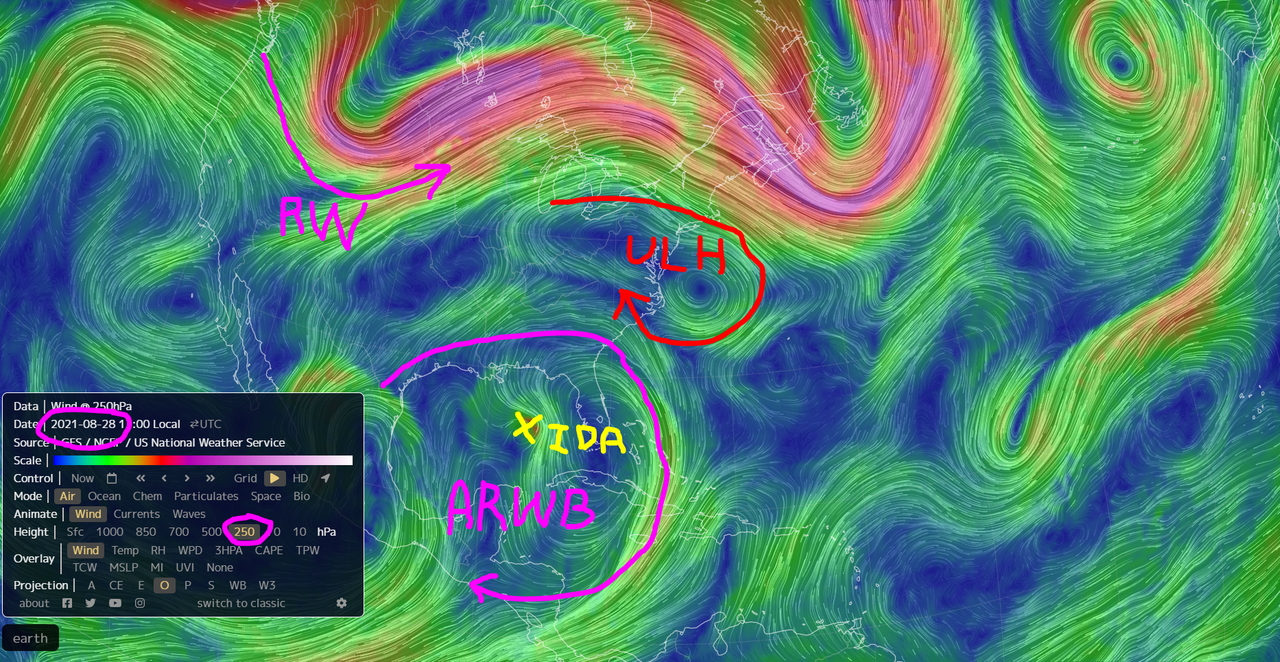
Not sure how yall feel about Windy.com but check out this GFS forcast with Wind gusts turned on.
https://www.windy.com/-Wind-gusts-gust? ... ,-90.008,9
Move it to 1pm Sunday then hit play. Look at all that water being pushed into the lakes. Look at the gust first in Grand Isle, then in new orleans... Pause it and zoom in.
That is a scary dang scenerio if it plays out. And that is with it being forcast as a Cat 2
Thanks for that link for Windy.com. I had never visited that page before. I like it.

Same here, I bookmarked it.