https://ftp.nhc.noaa.gov/atcf/btk/
ATL: INVEST 97L - Discussion
Moderator: S2k Moderators
ATL: INVEST 97L - Discussion
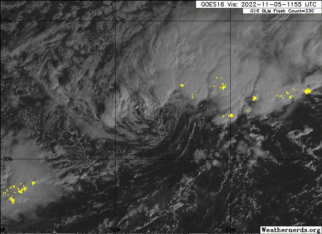
AL, 97, 2022110512, , BEST, 0, 315N, 529W, 35, 1009, EX, 34, NEQ, 150, 0, 0, 150, 1018, 150, 80, 0, 0, L, 0, , 0, 0, INVEST, M, 0, , 0, 0, 0, 0, genesis-num, 040, SPAWNINVEST, al742022 to al972022,
https://ftp.nhc.noaa.gov/atcf/btk/
0 likes
Re: ATL: INVEST 97L - Discussion
2 likes
-
- Category 5
- Posts: 8903
- Age: 39
- Joined: Thu Jul 06, 2017 1:51 am
Re: ATL: INVEST 97L - Discussion
If the shear can remain south of it and it can develop some more convection over the LLC this could easily get the next name...I'll go 70% for this.


2 likes
- cycloneye
- Admin
- Posts: 143855
- Age: 68
- Joined: Thu Oct 10, 2002 10:54 am
- Location: San Juan, Puerto Rico
Re: ATL: INVEST 97L - Discussion
Central Subtropical Atlantic:
Showers and thunderstorms associated with a non-tropical area of
low pressure located several hundred miles east of Bermuda are
beginning to show signs of organization. The system is producing
gale-force winds, and is currently attached to a frontal system.
The front is forecast to decay during the next day or so, and
environmental conditions are expected to be conducive for some
additional development. A tropical or subtropical depression
could form within the next few days while the system moves
northwestward, and then turns northeastward over the central
Atlantic. After that time, the low is forecast to merge with a
strong cold ending the chance of further development. Additional
information on this system can be found in High Seas Forecasts
issued by the National Weather Service.
* Formation chance through 48 hours...medium...40 percent.
* Formation chance through 5 days...medium...50 percent.
0 likes
Visit the Caribbean-Central America Weather Thread where you can find at first post web cams,radars
and observations from Caribbean basin members Click Here
-
- Category 5
- Posts: 8903
- Age: 39
- Joined: Thu Jul 06, 2017 1:51 am
- InfernoFlameCat
- Category 5
- Posts: 2102
- Age: 22
- Joined: Mon Dec 14, 2020 10:52 am
- Location: Buford, GA
Re: ATL: INVEST 97L - Discussion
It’s not tropical yet. Still strongly attached to the frontal boundary. However, that will change soon.
0 likes
I am by no means a professional. DO NOT look at my forecasts for official information or make decisions based on what I post.
Goal: to become a registered expert over tropical and subtropical cyclones.
- InfernoFlameCat
- Category 5
- Posts: 2102
- Age: 22
- Joined: Mon Dec 14, 2020 10:52 am
- Location: Buford, GA
Re: ATL: INVEST 97L - Discussion
I would say it is now a tropical cyclone. Warm core dynamics are now fueling the storm. In fact, we could see another Martin out of this.
3 likes
I am by no means a professional. DO NOT look at my forecasts for official information or make decisions based on what I post.
Goal: to become a registered expert over tropical and subtropical cyclones.
- InfernoFlameCat
- Category 5
- Posts: 2102
- Age: 22
- Joined: Mon Dec 14, 2020 10:52 am
- Location: Buford, GA
Re: ATL: INVEST 97L - Discussion
Actually, the IR still is showing the front attached to the storm. It wraps from the south and connects through the east upper level of the storm. It’s still a hybrid storm.
0 likes
I am by no means a professional. DO NOT look at my forecasts for official information or make decisions based on what I post.
Goal: to become a registered expert over tropical and subtropical cyclones.
Re: ATL: INVEST 97L - Discussion
Looks like a storm to me based on satellite before sunset.
If would be interesesting if there are any ship in the vicinity that can provide a weather report.
0 likes
- cycloneye
- Admin
- Posts: 143855
- Age: 68
- Joined: Thu Oct 10, 2002 10:54 am
- Location: San Juan, Puerto Rico
Re: ATL: INVEST 97L - Discussion
Central Subtropical Atlantic:
Showers and thunderstorms have become better organized in
association with an area of low pressure located several hundred
miles east of Bermuda. Additionally, the system appears to be
acquiring some tropical characteristics as it separates from a
nearby decaying frontal system. If these trends continue, a
short-lived tropical depression or storm is likely to form tonight
or on Sunday while the system moves slowly west-northwestward to
northwestward over the central Atlantic. The system is forecast to
turn northward and northeastward and merge with a strong cold front
by the middle of next week, and further development is not expected
beyond that time. Additional information on this system, including
gale warnings, can be found in High Seas Forecasts issued by the
National Weather Service.
* Formation chance through 48 hours...high...70 percent.
* Formation chance through 5 days...high...70 percent.
0 likes
Visit the Caribbean-Central America Weather Thread where you can find at first post web cams,radars
and observations from Caribbean basin members Click Here
Re: ATL: INVEST 97L - Discussion
97L’s excellent convection by Invest standards was just blown away by soon-to-be 98L’s outflow. If it can re-develop and sustain convection, then it could be TD 16 or TS Nicole tomorrow.
0 likes
Irene '11 Sandy '12 Hermine '16 5/15/2018 Derecho Fay '20 Isaias '20 Elsa '21 Henri '21 Ida '21
I am only a meteorology enthusiast who knows a decent amount about tropical cyclones. Look to the professional mets, the NHC, or your local weather office for the best information.
- cycloneye
- Admin
- Posts: 143855
- Age: 68
- Joined: Thu Oct 10, 2002 10:54 am
- Location: San Juan, Puerto Rico
Re: ATL: INVEST 97L - Discussion
7 AM TWO:
Central Subtropical Atlantic:
A well-defined low pressure area located several hundred miles east
of Bermuda is associated with an area of showers and thunderstorms.
This activity has been attempting to redevelop closer to the center,
and if these trends continue, a short-lived tropical depression or
storm is likely to form later today while the system drifts slowly
over the central Atlantic. Thereafter, the system is forecast to
turn northeastward and merge with a strong cold front by the middle
part of this week. Additional information on this system, including
gale warnings, can be found in High Seas Forecasts issued by the
National Weather Service.
* Formation chance through 48 hours...high...70 percent.
* Formation chance through 5 days...high...70 percent.
0 likes
Visit the Caribbean-Central America Weather Thread where you can find at first post web cams,radars
and observations from Caribbean basin members Click Here
Re: ATL: INVEST 97L - Discussion
I'm confused.
Which Invest is 97 and which is 98?
And which one will those in FL be smart to be watching?
tia
Which Invest is 97 and which is 98?
And which one will those in FL be smart to be watching?
tia
0 likes
Cleo - 1964, Betsy - 1965, David - 1979, Andrew - 1992, Charlie (Francis, Ivan, Jeanne) - 2004, Irma - 2017, Ian - 2022
Re: ATL: INVEST 97L - Discussion
Michele B wrote:I'm confused.
Which Invest is 97 and which is 98?
And which one will those in FL be smart to be watching?
tia
98L is the one FL needs to keep a close watch on. 97L is the other one further NE.
0 likes
- cycloneye
- Admin
- Posts: 143855
- Age: 68
- Joined: Thu Oct 10, 2002 10:54 am
- Location: San Juan, Puerto Rico
Re: ATL: INVEST 97L - Discussion
Michele B wrote:I'm confused.
Which Invest is 97 and which is 98?
And which one will those in FL be smart to be watching?
tia
97L is for the area east of Bermuda and 98L is for area north of Puerto Rico that will develop into a subtropical or tropical TD.
0 likes
Visit the Caribbean-Central America Weather Thread where you can find at first post web cams,radars
and observations from Caribbean basin members Click Here
- HurricaneBelle
- S2K Supporter
- Posts: 1169
- Joined: Sun Aug 27, 2006 6:12 pm
- Location: Clearwater, FL
Re: ATL: INVEST 97L - Discussion
Michele B wrote:I'm confused.
Which Invest is 97 and which is 98?
And which one will those in FL be smart to be watching?
tia
98L is the one threatening Florida.
Good rule of thumb in this scenario is to look for the thread with more posts in it.
2 likes
Re: ATL: INVEST 97L - Discussion
Thank you all so much for the quick replies!
I had to laugh at the suggestion to watch which one gets more pages! It's so true!!! LOL
But, seriously, we are watching it closely here on the west side, too, because we are STILL not all put together, and high winds or heavy rain will wreak HAVOC on our damaged homes. Just last week, we had a night of heavy rains and now the tarp which is doubling as a roof over my shed is full of water and threatening to dump it all into my shed (which already got soaked through with Ian.
This is just too much....that storm brought stories of folks shaking in their boots all night with PTSD symptoms....reminds me of what we went through in 2004 with Charley, followed closely by Francis, Ivan, & Jeanne.....all like a week apart. Luckily, they weren't very strong.
But I have significantly more damage now, so I'm more concerned.
1 likes
Cleo - 1964, Betsy - 1965, David - 1979, Andrew - 1992, Charlie (Francis, Ivan, Jeanne) - 2004, Irma - 2017, Ian - 2022
- Hurricaneman
- Category 5
- Posts: 7349
- Age: 44
- Joined: Tue Aug 31, 2004 3:24 pm
- Location: central florida
Re: ATL: INVEST 97L - Discussion
This low pressure probably won’t develop further due to outflow from 98L
0 likes
- cycloneye
- Admin
- Posts: 143855
- Age: 68
- Joined: Thu Oct 10, 2002 10:54 am
- Location: San Juan, Puerto Rico
Re: ATL: INVEST 97L - Discussion
Central Subtropical Atlantic:
A well-defined area of low pressure located several hundred miles
east of Bermuda continues to produce gale-force winds and an area of
showers and thunderstorms displaced northeast of the center. If the
associated shower activity redevelops closer to the center, a
tropical storm could form over the next couple of days while the
system drifts slowly initially but then begins to move northeastward
over the central Atlantic. The system is then forecast to merge with
a strong cold front by the middle part of this week. Additional
information on this system, including gale warnings, can be found in
High Seas Forecasts issued by the National Weather Service.
* Formation chance through 48 hours...high...70 percent.
* Formation chance through 5 days...high...70 percent.
0 likes
Visit the Caribbean-Central America Weather Thread where you can find at first post web cams,radars
and observations from Caribbean basin members Click Here
- cycloneye
- Admin
- Posts: 143855
- Age: 68
- Joined: Thu Oct 10, 2002 10:54 am
- Location: San Juan, Puerto Rico
Re: ATL: INVEST 97L - Discussion
18z Best Track:
AL, 97, 2022110618, , BEST, 0, 315N, 531W, 35, 1012, LO
0 likes
Visit the Caribbean-Central America Weather Thread where you can find at first post web cams,radars
and observations from Caribbean basin members Click Here
Who is online
Users browsing this forum: No registered users and 64 guests