jlauderdal wrote:Looks more east, ian was supposed to nail tampa...different system, different setup, models still have error rates and the shape of florida and no center arent helpful to a track forecast.
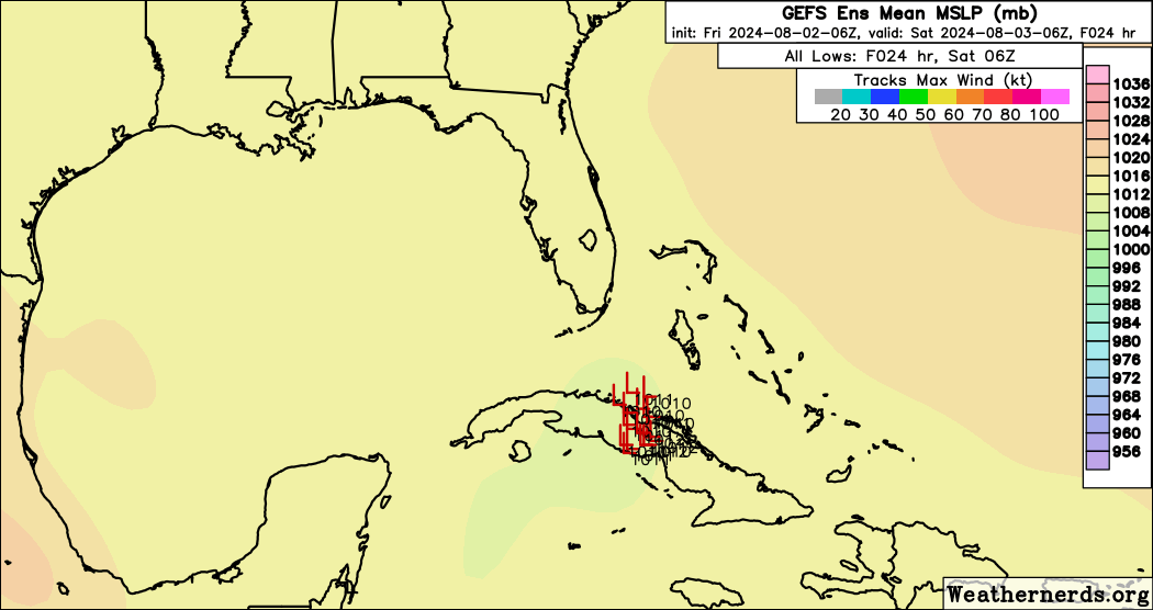
If the low consolidates south of Cuba later today it could have time to become a depression or storm before crossing Cuba.
It does seem like it will really start consolidating once it is north of Cuba initially heading north to NNW before going NE, unfortunately the hurricane models are having a tough time initializing it right now, the Global models lack the resolution, and the Mesoscale models are sub par at best for tropical systems. Regardless the consensus of the models suggest it will likely become a storm near the Florida Straits.
As usual the path is crucial. If it develops further south and/or makes it further west than expected, it will have significant more time over water. As we saw with Beryl, even extra 3 hours over water can make a big difference. As it moves NE appears barocyclonic forcing will help spin it up as it crosses the Florida peninsula.