Tekken_Guy wrote:cheezyWXguy wrote:The 12z gfs is close to being a very bad run for the ne US. That trough evolution, but further southwest would slingshot it into the coast. Not a particularly likely outcome, and I feel like the globals always show a run or two like this for every recurving storm, but still something to watch for.
Is NYC still in play, or is it mostly New England at this point?
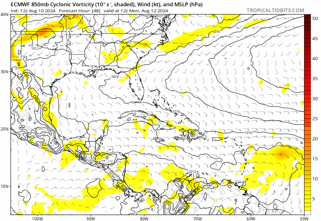
If I were anywhere from Cape Hatteras northward to the Canadian Maritimes, I'd keep an eye on the possibility of a northward recurvature that ultimately takes a storm toward Bermuda but then tracks northwest from there (rather than out to sea). Why?? Because there is a big difference between a lower latitude progressive Westerly flow, and Weak Westerlies that might just have kinks (weaker troughs or cut-off lows) that are somewhat cut off from higher latitude stronger Westerlies. I havn't seen any evidence of lots of sub-tropics storm generation or tropical cyclones that form in the MDR and recurve in the Central Atlantic. This season has already hinted toward a heavier dose of west Atlantic basin activity. The entire Eastern Seaboard need keep their eyes wide open to potential risk from the southeast.