

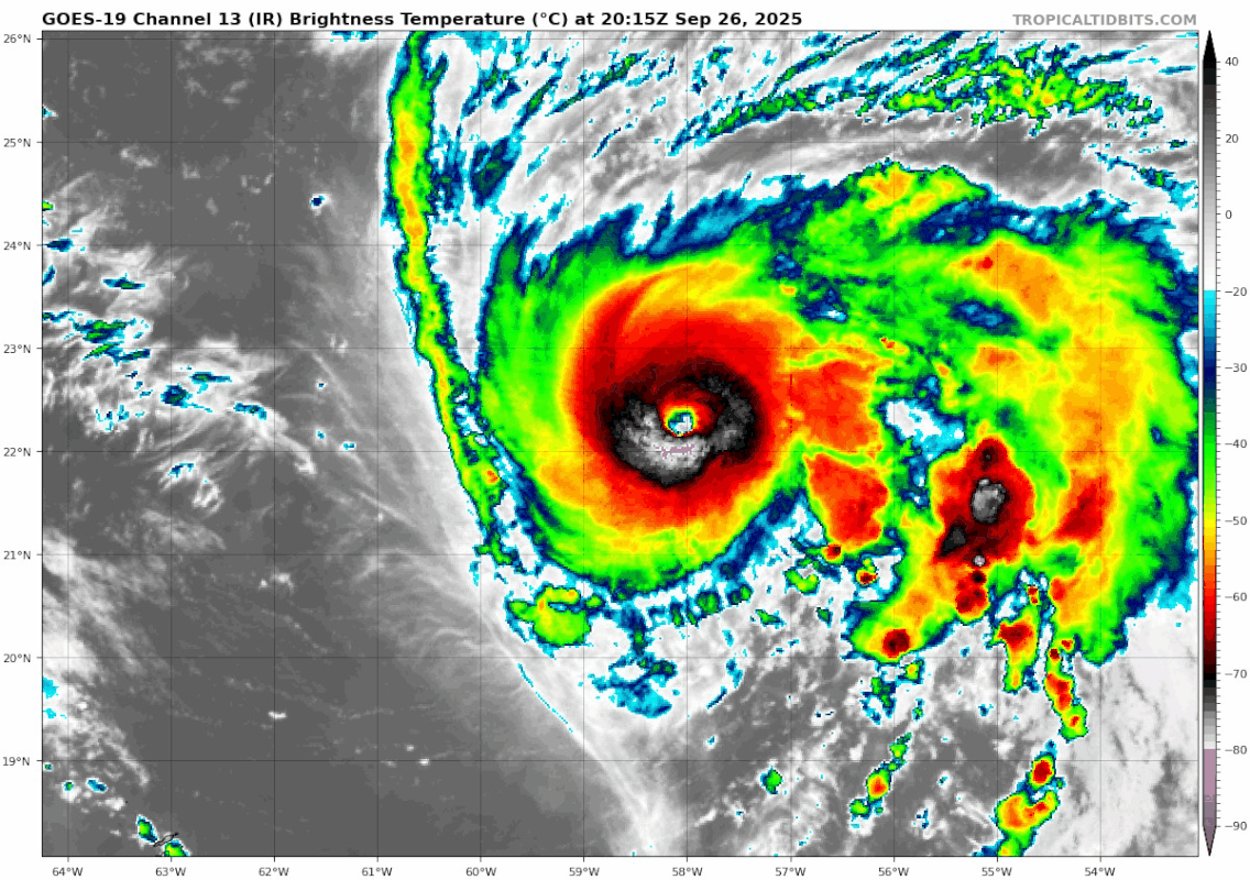
cheezyWXguy wrote:I also wonder if Humberto will go through an ewrc soon. IR seems to give hints that it might happen soon? Plus I recall some model runs from earlier that show Humberto transitioning to an annular structure at some point with a larger eye, so it seems plausible to me.
I think it’s still dealing with a little bit of shear from the west. Outflow on that side looks like it’s running into a brick wall. Either Humberto isn’t able to fully ventilate, or some mid-level shear is impinging on it a bit, or both.
Whatever it is, it’s been happening all day. The CDO has fluctuated in smoothness a few times over the last 12 hours or so.


