#348 Postby Extremeweatherguy » Fri Dec 03, 2010 3:11 am
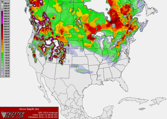
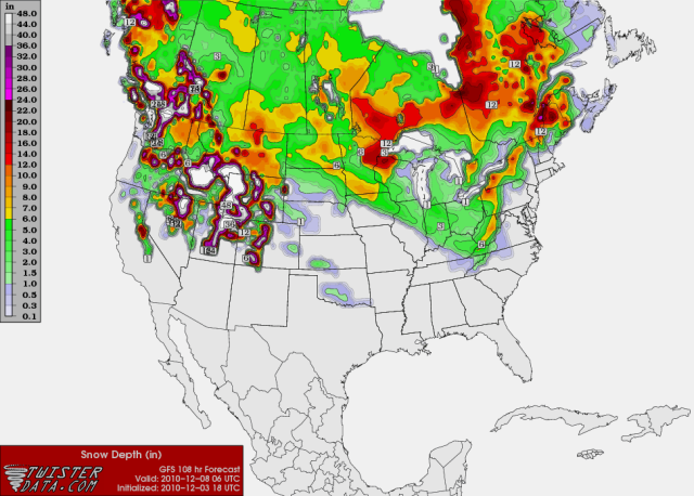
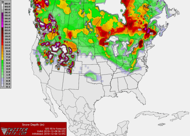
Here is a quick run down of the latest GFS, ECMWF and CMC concerning the "possible" light wintry precipitation early next week in Oklahoma.
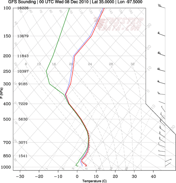
GFS: This is currently the driest model, showing just 0.02" of liquid-equivalent precipitation falling on OKC. The precipitation type, based on the twisterdata.com skew-T output, looks to mainly be in the form of snow within any of the light showers Tuesday morning. This would not be a big deal though, with maximum accumulations only being a light dusting in isolated spots. Most people would probably see nothing, or perhaps just a few flurries.
ECMWF: The ECMWF is slightly wetter than the GFS, showing 0.07" of liquid-equivalent precipitation falling on OKC during the day on Tuesday. I do not have access to skew-T output, but based on what I can see, the upper levels look only marginal for snow. Therefore, the light showers might be in the form of a wintry mix of precipitation types. Like the GFS though, I would expect maximum winter precipitation accumulations to stay low, with mainly just a light dusting in isolated spots if this scenario were to be believed. Slightly higher amounts in one or two spots cannot be ruled out though, especially if the ECMWF trends higher than 0.07" in future runs.
CMC: The CMC is the wettest of the three models, but still doesn't show anything too crazy. I do not have access to the text output, but based on the 6-hour precipitation panels (found on the Penn State ewall site), it looks like most from central Oklahoma westwards would see upwards of 0.10" of liquid-equivalent precipitation during the event. Some parts of west-central Oklahoma would even see upwards of 0.25-0.50" of liquid-equivalent precipitation. The upper levels are also cooler on the CMC, so this precipitation would mostly be in the form of snow. If this wetter scenario actually verified, then a good chunk of the western half of the state could see light snow accumulations. If we applied the average 10:1 rule, then the regions seeing the highest liquid-equivalent values (0.25"+) would have the potential to receive over 2.5" of snow. These kind of totals would require winter weather advisory products if they actually came to be.
0 likes

 The posts in this forum are NOT official forecast and should not be used as such. They are just the opinion of the poster and may or may not be backed by sound meteorological data. They are NOT endorsed by any professional institution or


