Ivanhater wrote:Evacuation in Brownsville
ATL: Tropical Depression Dolly
Moderator: S2k Moderators
Re: ATL: TS Dolly in Western Gulf of Mexico
nothing gives you that 'chill down the spine' feeling like pics like this...thanks for posting...makes the situation all the more real for those of us not in dolly's path

0 likes
-
gatorcane

- S2K Supporter

- Posts: 23708
- Age: 48
- Joined: Sun Mar 13, 2005 3:54 pm
- Location: Boca Raton, FL
Re:
KWT wrote:Yep Gatorcane stronger convection now starting to work its way round on the southern side as well, only a matter of time before the eyewall finally closes up. IR also showing some more intense convection starting to come back in the eyewall on the western side.
Al lthis is a sign of strengthening occuring with Dolly, I think its only a matter of time before we have hurricane Dolly I'd have thought given the structure continues to improve.
There is no question that this thing is strengthening in my opinion, the eye should come out again over the next couple of hours.
0 likes


-
Wx_Warrior
- Category 5

- Posts: 2718
- Joined: Thu Aug 03, 2006 3:58 pm
- Location: Beaumont, TX
Re: ATL: TS Dolly in Western Gulf of Mexico
Been there, done that....Took me 9 hours to go 90 miles north.
0 likes

Re: Re:
hsvwx wrote:KWT wrote:Indeed just shows the use of the cone gatorcane but sadly many people just pay attention to the line.
hiflyer, thanks so stil lgot a little while yet before we see conditions really go down hill for south Texas and northern Mexico.
I actually really dislike the line...I think they should just go with a cone of uncertainty, so people in that whole cone will pay attention and take the proper precautions to safe life and property.
according to Team4News online 63% of the people responding to a poll in Brownsville said they are not prepared.
0 likes
-
deltadog03

- Professional-Met

- Posts: 3580
- Joined: Tue Jul 05, 2005 6:16 pm
- Location: Macon, GA

Re: ATL: TS Dolly in Western Gulf of Mexico
drezee wrote:Based on the HCT assertion, I would say that rapid intensification would start after 2115Z (515pm Eastern). not much time to go before landfall, so probably likely to not go major with current speed.
Note: I believe that RI starts in less than 3 hours now...
0 likes
-
gatorcane
- S2K Supporter
- Posts: 23708
- Age: 48
- Joined: Sun Mar 13, 2005 3:54 pm
- Location: Boca Raton, FL
Dvorak image shows some shades of darker greys on the western side of the eye. Those are probably where some of the strongest winds are. But note the NE Quad is where the strongest winds typically are (and where they may end up before landfall).

Last edited by gatorcane on Tue Jul 22, 2008 2:59 pm, edited 1 time in total.
0 likes
-
Stormcenter
- S2K Supporter
- Posts: 6689
- Joined: Wed Sep 03, 2003 11:27 am
- Location: Houston, TX
-
wxmann_91

- Category 5
- Posts: 8007
- Age: 34
- Joined: Fri Jul 15, 2005 2:49 pm
- Location: Southern California
- Contact:
Re: ATL: TS Dolly in Western Gulf of Mexico
Ivanhater wrote:Evacuation in Brownsville
HAHA... watch for pelicans when flashing. LOL.
0 likes

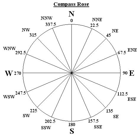
For those who don't know their compass degrees, here is a very simple compass rose so the numbers used when discussing direction make more sense.
Last edited by caribepr on Tue Jul 22, 2008 3:02 pm, edited 1 time in total.
0 likes
-
jhamps10
-
gatorcane
- S2K Supporter
- Posts: 23708
- Age: 48
- Joined: Sun Mar 13, 2005 3:54 pm
- Location: Boca Raton, FL
Re:
KWT wrote:gatorcane, only need the deeper convection to move a little further to the east and connect up with the other side of the eyewall and we will see this system strengthen pretty good. Eye is pretty clear as day there as well, sure do hope it doesn't strengthen too much from now to be honest!
you are right lets see what happens. Good point BTW.
0 likes
Re: ATL: TS Dolly in Western Gulf of Mexico
wxmann_91 wrote:Ivanhater wrote:Evacuation in Brownsville
HAHA... watch for pelicans when flashing. LOL.
that's funny...im sure there will be a couple of other 'things' flying tomorrow....I thought Texas used contraflow evacs.?
0 likes
-
galvestontx13
- Tropical Low

- Posts: 28
- Joined: Wed Sep 12, 2007 2:47 pm
Re:
Aric Dunn wrote:well there is always this option..
i posted last night when i came .. its simulated radar
from the WRF
http://www.emc.ncep.noaa.gov/mmb/mmbpll ... te_1h.html
i would say its doing a pretty good job.. so far
That is exactley what I see dolly doing. which isnt good. at least it will be shallow water and she will be draggin.
0 likes
-
Ed Mahmoud
Re: ATL: TS Dolly in Western Gulf of Mexico
JPmia wrote:wxmann_91 wrote:Ivanhater wrote:Evacuation in Brownsville
HAHA... watch for pelicans when flashing. LOL.
that's funny...im sure there will be a couple of other 'things' flying tomorrow....I thought Texas used contraflow evacs.?
I believe that is the replacement Isabella causeway bridge. A few years ago a tug pushing barges had an issue and hit the bridge, collapsing a section and killing several motorists. Anyway, those are people from Padre Island leaving, not the city of Brownsville, if I'm not mistaken.
0 likes
Who is online
Users browsing this forum: No registered users and 11 guests