ATL: Ex COLIN - Discussion
Moderator: S2k Moderators

supercane, I'd imagine given the conditions aloft and the SAL present I'd be very surprised if there is much if anything left of this circulation, probably would require a new identity if it did decide to reform down the line.
0 likes
Personal Forecast Disclaimer:
The posts in this forum are NOT official forecast and should not be used as such. They are just the opinion of the poster and may or may not be backed by sound meteorological data. They are NOT endorsed by any professional institution or storm2k.org. For official information, please refer to the NHC and NWS products
The posts in this forum are NOT official forecast and should not be used as such. They are just the opinion of the poster and may or may not be backed by sound meteorological data. They are NOT endorsed by any professional institution or storm2k.org. For official information, please refer to the NHC and NWS products
-
redfish1
- Tropical Storm

- Posts: 125
- Age: 45
- Joined: Thu Jun 17, 2010 9:24 pm
- Location: Port Arthur, Tx
Re: ATL : Tropical Storm Colin - DISCUSSION
anyone think it could be a GOM threat now down the line?
0 likes

Re: ATL : Tropical Storm Colin - DISCUSSION
redfish1 wrote:anyone think it could be a GOM threat now down the line?
not this year...but maybe in 2016...
0 likes

-
ozonepete
- Professional-Met

- Posts: 4743
- Joined: Mon Sep 07, 2009 3:23 pm
- Location: From Ozone Park, NYC / Now in Brooklyn, NY
Re: ATL : Tropical Storm Colin - DISCUSSION
wxman57 wrote:ncweatherwizard wrote:wxman57 wrote:Maybe Jack (Beven) just made a mistake on the classification at hour 120? Easy to do. It would be like the NHC forecasting a depression to develop from a tropical wave 5 days in the future.
Nah. My impression of Jack is that he would be more careful than that. Bold call though. I'll tip my hat to FSU for an entire day if he gets this one.
Yeah, I know Jack. See him often at conventions/AMS meetings. Great meteorologist. It's just so strange to set that 120hr point to TD vs. Post-tropical.
I would think if the models are calling for it to redevelop around that time, and it does, it would be a TD, right? You wouldn't call it post-tropical since it would be a tropical entity.
0 likes
-
loup-garou
-
Ivanhater

- Storm2k Moderator

- Posts: 11221
- Age: 39
- Joined: Fri Jul 01, 2005 8:25 am
- Location: Pensacola
Re: ATL : Tropical Storm Colin - DISCUSSION
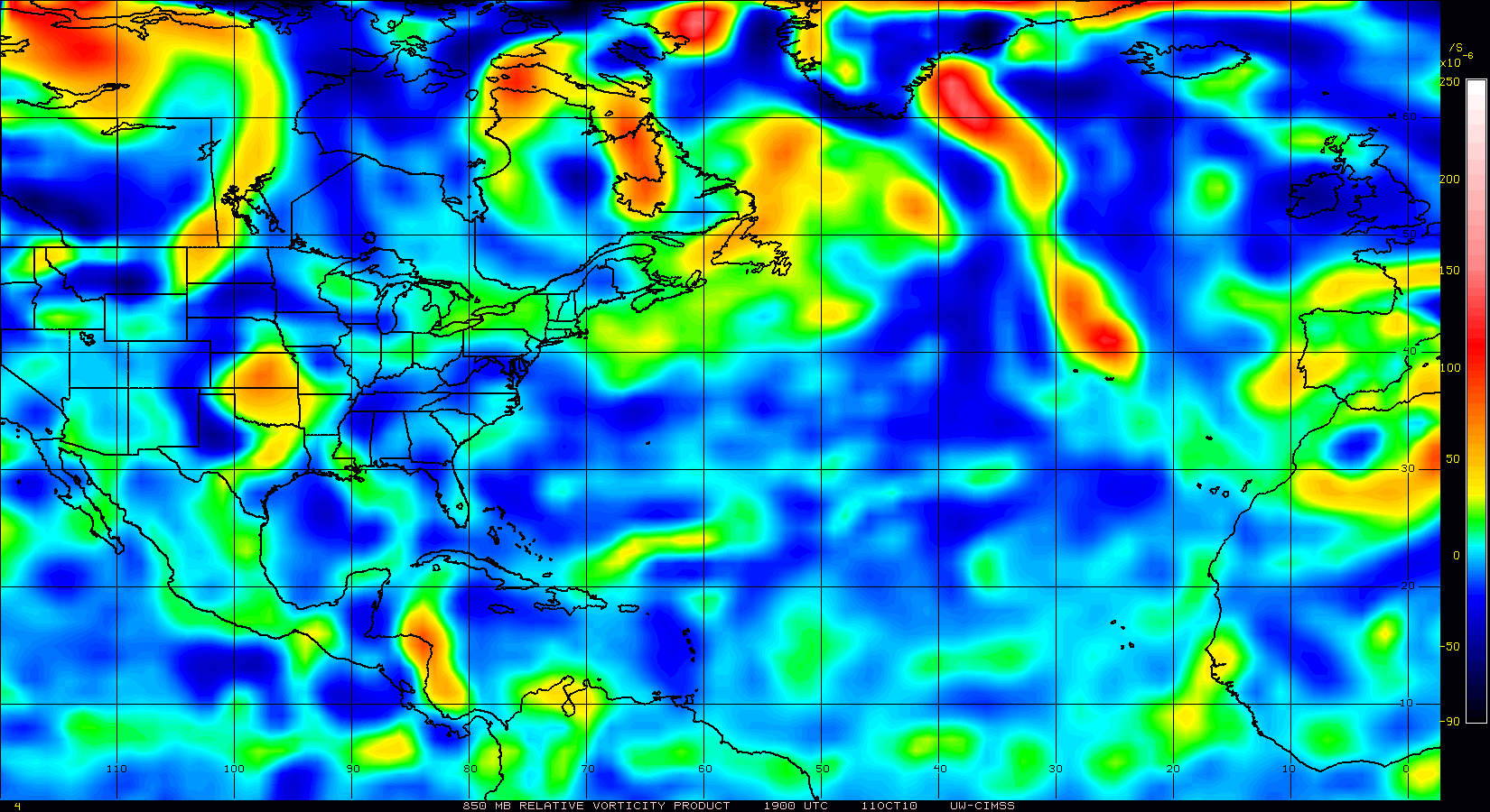
Vorticity is very strong with the MLC further south and east
0 likes
Michael
-
Ivanhater
- Storm2k Moderator
- Posts: 11221
- Age: 39
- Joined: Fri Jul 01, 2005 8:25 am
- Location: Pensacola
Re: ATL : Tropical Storm Colin - DISCUSSION
Again, there is a lot of unnecessary posts on here. Staff will not hesitate to delete these posts.
We strive for quality not quantity here. If you have a question or something to add that is fine but think before you post.
We strive for quality not quantity here. If you have a question or something to add that is fine but think before you post.
0 likes
Michael
I'm willing to bet that will decrease soon though Ivanhater, the conveciton just pretty much poofed, now looking way too linear and part of a band of storms on the TUTT's eastern side.
0 likes
Personal Forecast Disclaimer:
The posts in this forum are NOT official forecast and should not be used as such. They are just the opinion of the poster and may or may not be backed by sound meteorological data. They are NOT endorsed by any professional institution or storm2k.org. For official information, please refer to the NHC and NWS products
The posts in this forum are NOT official forecast and should not be used as such. They are just the opinion of the poster and may or may not be backed by sound meteorological data. They are NOT endorsed by any professional institution or storm2k.org. For official information, please refer to the NHC and NWS products
-
meebo

-
Gustywind

- Category 5

- Posts: 12334
- Joined: Mon Sep 03, 2007 7:29 am
- Location: Baie-Mahault, GUADELOUPE
Re:
meebo wrote:Colin may come back but not now wait for just 4 days says hurricane centre. Hope never come back!
Gustywind
0 likes
Yeah Supercane I agree, the shear is ramping up now from the opposite side, you've got some very big speed shear occuring now, you've got the low level flow going at something like 30kts and the upper flow going the opposite way as fast, thats the sort of shear that kills hurricanes in hours!
0 likes
Personal Forecast Disclaimer:
The posts in this forum are NOT official forecast and should not be used as such. They are just the opinion of the poster and may or may not be backed by sound meteorological data. They are NOT endorsed by any professional institution or storm2k.org. For official information, please refer to the NHC and NWS products
The posts in this forum are NOT official forecast and should not be used as such. They are just the opinion of the poster and may or may not be backed by sound meteorological data. They are NOT endorsed by any professional institution or storm2k.org. For official information, please refer to the NHC and NWS products

Re: ATL : Tropical Storm Colin - DISCUSSION
This scenario could be like the birth of Katrina, when the low level circulation of TD 10 died but the mid level survived and gave birth to Katrina a few days later.
Note: I'm not saying that it will have the same intensity or track, just a similar genesis.
Note: I'm not saying that it will have the same intensity or track, just a similar genesis.
0 likes
-
rolltide

- Tropical Storm
- Posts: 234
- Age: 65
- Joined: Thu Sep 09, 2004 5:33 pm
- Location: Pensacola Florida
Re: ATL : Tropical Storm Colin - DISCUSSION
Ivanhater wrote:Again, there is a lot of unnecessary posts on here. Staff will not hesitate to delete these posts.
We strive for quality not quantity here. If you have a question or something to add that is fine but think before you post.
Have you deleted some posts? I don't see anything out of line recently.
0 likes
-
cycloneye

- Admin

- Posts: 149596
- Age: 69
- Joined: Thu Oct 10, 2002 10:54 am
- Location: San Juan, Puerto Rico
Re: ATL : Tropical Storm Colin - DISCUSSION
00z Best Track
AL, 04, 2010080400, , BEST, 0, 163N, 547W, 30, 1008, LO
ftp://ftp.tpc.ncep.noaa.gov/atcf/tcweb/ ... 010.invest
Still racing WNW.
AL, 04, 2010080400, , BEST, 0, 163N, 547W, 30, 1008, LO
ftp://ftp.tpc.ncep.noaa.gov/atcf/tcweb/ ... 010.invest
Still racing WNW.
0 likes
Visit the Caribbean-Central America Weather Thread where you can find at first post web cams,radars
and observations from Caribbean basin members Click Here
and observations from Caribbean basin members Click Here
-
Stephanie

- S2K Supporter

- Posts: 23843
- Age: 63
- Joined: Thu Feb 06, 2003 9:53 am
- Location: Glassboro, NJ
Re: ATL : Tropical Storm Colin - DISCUSSION
rolltide wrote:Ivanhater wrote:Again, there is a lot of unnecessary posts on here. Staff will not hesitate to delete these posts.
We strive for quality not quantity here. If you have a question or something to add that is fine but think before you post.
Have you deleted some posts? I don't see anything out of line recently.
We're quick.
0 likes
I still can't believe its going as fast as it is, 25-30kts is just unreal for the deep tropics, got some seriously strong easterly surges, so much for the weaker trades eh!
0 likes
Personal Forecast Disclaimer:
The posts in this forum are NOT official forecast and should not be used as such. They are just the opinion of the poster and may or may not be backed by sound meteorological data. They are NOT endorsed by any professional institution or storm2k.org. For official information, please refer to the NHC and NWS products
The posts in this forum are NOT official forecast and should not be used as such. They are just the opinion of the poster and may or may not be backed by sound meteorological data. They are NOT endorsed by any professional institution or storm2k.org. For official information, please refer to the NHC and NWS products
-
cycloneye
- Admin
- Posts: 149596
- Age: 69
- Joined: Thu Oct 10, 2002 10:54 am
- Location: San Juan, Puerto Rico
Re: ATL : Tropical Storm Colin - DISCUSSION
A reduction of 2 kts on the speed from the 18z bt to the 00z bt.
290DEG SPDCUR = 28KT
290DEG SPDCUR = 28KT
0 likes
Visit the Caribbean-Central America Weather Thread where you can find at first post web cams,radars
and observations from Caribbean basin members Click Here
and observations from Caribbean basin members Click Here
Not exactly much of a difference though Cycloneye 
Still utterly racing along, will probably steadily slow down in the next few days as the SAL surge starts to weaken.
Still utterly racing along, will probably steadily slow down in the next few days as the SAL surge starts to weaken.
0 likes
Personal Forecast Disclaimer:
The posts in this forum are NOT official forecast and should not be used as such. They are just the opinion of the poster and may or may not be backed by sound meteorological data. They are NOT endorsed by any professional institution or storm2k.org. For official information, please refer to the NHC and NWS products
The posts in this forum are NOT official forecast and should not be used as such. They are just the opinion of the poster and may or may not be backed by sound meteorological data. They are NOT endorsed by any professional institution or storm2k.org. For official information, please refer to the NHC and NWS products
Who is online
Users browsing this forum: No registered users and 46 guests