HURAKAN wrote:
ATL: TROPICAL DEPRESSION ALEX - DISCUSSION
Moderator: S2k Moderators
-
HurricaneStriker

- Tropical Storm

- Posts: 195
- Joined: Fri Jun 25, 2010 7:23 pm
- Location: Austin, TX
Re:

0 likes
217 Miles from the Texas Shore

Re: ATL: TROPICAL DEPRESSION ALEX - DISCUSSION
gatorcane wrote:I wouldn't count on it decoupling over the Yucatan/Mexico. In fact it has a really nice structure still. I'm looking for it to intensify back to TS status by later on this evening, once it has been over water for for several hours.
Good news though is that it continues to move nearly due W it seems, so the more west it goes could mean the difference in the end for those farther upstream in Texas.
Indeed it still has a decent structure but the convection really is starting to lack, it reminds me a little of Ike when it went overland for a while when the convection pretty much totally decayed. I think your probably looking at a good 9-12hrs to sort itself out but once convection develops again its clearly going to have decent conditions aloft to strengthen again.
Also your quite right, it looks like its only just movinmg WNW right now, and barely gaining any latitude, coming out a good bit south of where the 12z models yesterday progged, at least the ones that went to Texas...
0 likes
Personal Forecast Disclaimer:
The posts in this forum are NOT official forecast and should not be used as such. They are just the opinion of the poster and may or may not be backed by sound meteorological data. They are NOT endorsed by any professional institution or storm2k.org. For official information, please refer to the NHC and NWS products
The posts in this forum are NOT official forecast and should not be used as such. They are just the opinion of the poster and may or may not be backed by sound meteorological data. They are NOT endorsed by any professional institution or storm2k.org. For official information, please refer to the NHC and NWS products

-
Hurricane Andrew

- S2K Supporter

- Posts: 1891
- Age: 27
- Joined: Sun May 23, 2010 2:53 pm
- Location: KS
Re:
gatorcane wrote:When does everybody think Alex will be back over water?
6-10PM today.
0 likes
The Enthusiast
NREMT-AEMT, WX nerd
Irene '11, Sandy '12, Irma '17 (SAR)
"Hard to think we were born to live this way..." -Wage War


-
Hurricane Andrew
- S2K Supporter
- Posts: 1891
- Age: 27
- Joined: Sun May 23, 2010 2:53 pm
- Location: KS
Re:
HURAKAN wrote:
Soon to be over water
Hey Hurakan,where do you think this will hit? (second landfall)
0 likes
The Enthusiast
NREMT-AEMT, WX nerd
Irene '11, Sandy '12, Irma '17 (SAR)
"Hard to think we were born to live this way..." -Wage War
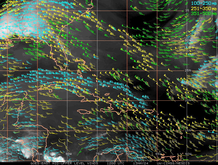
Yep going to be over water soon even if it went due west. I think that image shows you just how far this system has to go if it is to hit Texas, its really gotta lift out soon unless it moves nwar due north. T oget to where the CMC wants it to, its going to have to head near NNE...
0 likes
Personal Forecast Disclaimer:
The posts in this forum are NOT official forecast and should not be used as such. They are just the opinion of the poster and may or may not be backed by sound meteorological data. They are NOT endorsed by any professional institution or storm2k.org. For official information, please refer to the NHC and NWS products
The posts in this forum are NOT official forecast and should not be used as such. They are just the opinion of the poster and may or may not be backed by sound meteorological data. They are NOT endorsed by any professional institution or storm2k.org. For official information, please refer to the NHC and NWS products
-
HurricaneStriker
- Tropical Storm
- Posts: 195
- Joined: Fri Jun 25, 2010 7:23 pm
- Location: Austin, TX

-
cycloneye

- Admin

- Posts: 149548
- Age: 69
- Joined: Thu Oct 10, 2002 10:54 am
- Location: San Juan, Puerto Rico
Re:
HurricaneStriker wrote:Convection with Alex looks very impressive on the east side of the storm, but the west side is almost 'convection free'. Looks like there's a big rainband cooking up in the northeast.
And looks like the band ahead of the center is in the water.
0 likes
Visit the Caribbean-Central America Weather Thread where you can find at first post web cams,radars
and observations from Caribbean basin members Click Here
and observations from Caribbean basin members Click Here
-
ConvergenceZone
.gif)
- Category 5

- Posts: 5241
- Joined: Fri Jul 29, 2005 1:40 am
- Location: Northern California
-
Hurricane Andrew
- S2K Supporter
- Posts: 1891
- Age: 27
- Joined: Sun May 23, 2010 2:53 pm
- Location: KS
-
HurricaneStriker
- Tropical Storm
- Posts: 195
- Joined: Fri Jun 25, 2010 7:23 pm
- Location: Austin, TX
That big band is probably a sign of things to come over the system once it reaches the water I'd have thought...
0 likes
Personal Forecast Disclaimer:
The posts in this forum are NOT official forecast and should not be used as such. They are just the opinion of the poster and may or may not be backed by sound meteorological data. They are NOT endorsed by any professional institution or storm2k.org. For official information, please refer to the NHC and NWS products
The posts in this forum are NOT official forecast and should not be used as such. They are just the opinion of the poster and may or may not be backed by sound meteorological data. They are NOT endorsed by any professional institution or storm2k.org. For official information, please refer to the NHC and NWS products
-
lester

- S2K Supporter
- Posts: 1305
- Age: 37
- Joined: Sat Aug 27, 2005 5:21 pm
- Location: Washington, DC
- Contact:
Re:
Hurricane Andrew wrote:I have been discussing this on accuweather.com, what caused the weakening? Shear or overlandness?
It's overland. Cyclones weaken over land. (At least most storms do
0 likes
-
Hurricane Andrew
- S2K Supporter
- Posts: 1891
- Age: 27
- Joined: Sun May 23, 2010 2:53 pm
- Location: KS
Re: Re:
HURAKAN wrote:Hurricane Andrew wrote:Hey Hurakan,where do you think this will hit? (second landfall)
Unsure at this point bc computer models keep flip-flopping.
Yeah. In the model thread, were all waiting for the Euro.
0 likes
The Enthusiast
NREMT-AEMT, WX nerd
Irene '11, Sandy '12, Irma '17 (SAR)
"Hard to think we were born to live this way..." -Wage War
-
Ikester
- Professional-Met

- Posts: 361
- Age: 40
- Joined: Mon Jun 21, 2010 5:00 pm
- Location: Jacksonville, FL
Re:
ConvergenceZone wrote:KWT, yep, because of it's current direction, every hour that goes by is making a Texas landfall less and less likely. But then again, I don't think anyone really expects it to hit Texas anyway...Gotta keep it in the cone though for peace of mind.
I think there are a fair number who would say, including me, that one would be a fool to think that Texas is in the clear.
0 likes
-
Hurricane Andrew
- S2K Supporter
- Posts: 1891
- Age: 27
- Joined: Sun May 23, 2010 2:53 pm
- Location: KS
Re: Re:
lester88 wrote:Hurricane Andrew wrote:I have been discussing this on accuweather.com, what caused the weakening? Shear or overlandness?
It's overland. Cyclones weaken over land. (At least most storms do)
That's what i thought.
Ike didn't! (Pruduced 100MPH winds through ontario)
0 likes
The Enthusiast
NREMT-AEMT, WX nerd
Irene '11, Sandy '12, Irma '17 (SAR)
"Hard to think we were born to live this way..." -Wage War
-
Ivanhater

- Storm2k Moderator

- Posts: 11221
- Age: 39
- Joined: Fri Jul 01, 2005 8:25 am
- Location: Pensacola
Re: ATL: TROPICAL DEPRESSION ALEX - DISCUSSION
Some of you are looking at the smaller vortex rotating around the broader center that will be taking over and it makes it think its going sw or west...look at the broader center, its gaining latitude
0 likes
Michael
Who is online
Users browsing this forum: No registered users and 11 guests