Stephanie wrote:ROCK wrote:wxman57 wrote:Time for another climo check. I ran a check of all past August/September storms passing within about 1 degree of 97L's current location. I counted 42 storms. Of those 42, only 2 entered the Caribbean, but they were BIG ones - the great 1928 Okeechobee hurricane (was a Cat 5 in PR) and the 1915 Galveston hurricane (Cat 4). That's about 4.7% of all storms near 97L reached the Caribbean, 95.3% missed the islands.
As for the East U.S. Coast, 4 of the 42 reached the U.S., and all 4 were pretty significant storms. That's about 9.6% hit, or about 90% recurved east of the U.S. Not very good odds either way. It is fairly far north already.
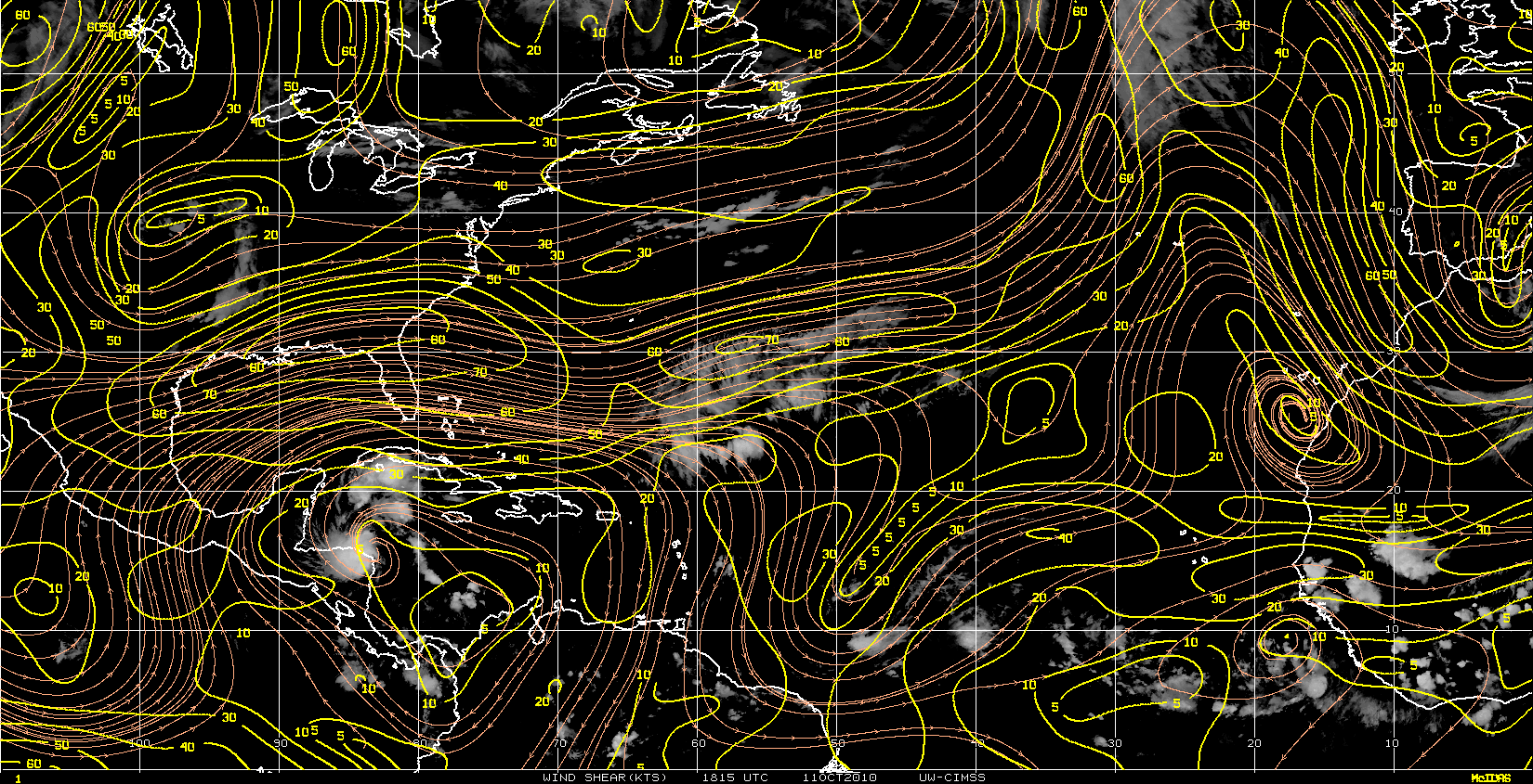
From its current location, it only takes a heading of 278 degrees to miss the Caribbean. That's not much north of due west, particularly with a negative NAO.
http://myweb.cableone.net/nolasue/paststorms.gif
guess we can throw out all of the models showing a island issue and or US threat currently.....

come on....first this has not formed, second by tomorrow you will have a whole lot of different tracks......
As in any storm, it will be constantly evolving, just like the models. No two storms are exactly alike. This is just an opinion based on trends of the past. We're fortunate to have many pro-mets offering their opinions and guidance.
Not only that, climatology is generally a good guide.
Just look at the odds.
Yeah, weird things happen.
Ike veers southwest and goes from a Florida storm to a Texas storm.
Betsy does loops and dips SW and goes from a Carolina storm to a Florida storm.
Jeanne almost dies over DR, heads North and then loops into Florida.
These are 3 of the exceptions, however; if you use climatology as your guide unless there is a compelling reason not to; you are usually correct.
I appreciate seeing the historical numbers and rely on them extensively unless the synoptics show a deviation from the "norm".
And experts like wxman usually tell us!!!!


