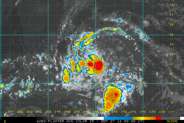
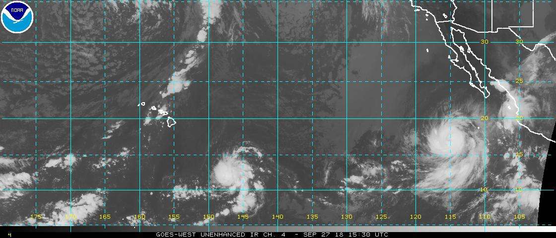
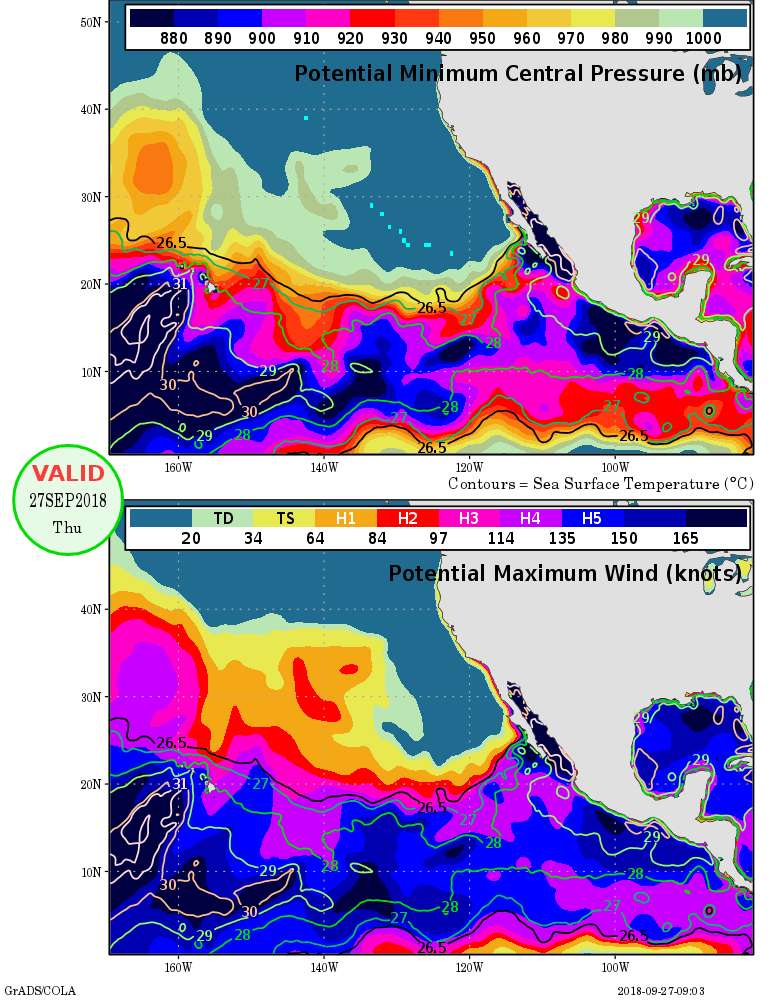
#13 Postby hurricanes1234 » Sat Sep 29, 2018 4:07 pm
FORECAST POSITIONS AND MAX WINDS
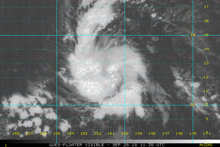
INIT 29/2100Z 11.5N 159.1W 35 KT 40 MPH
12H 30/0600Z 11.5N 161.5W 45 KT 50 MPH
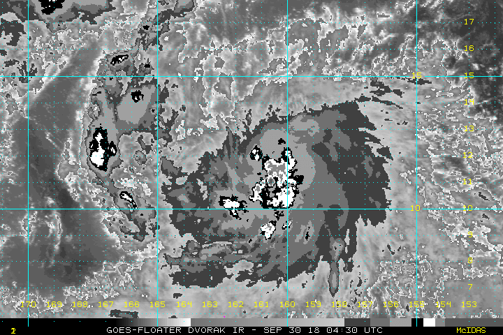
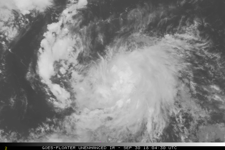
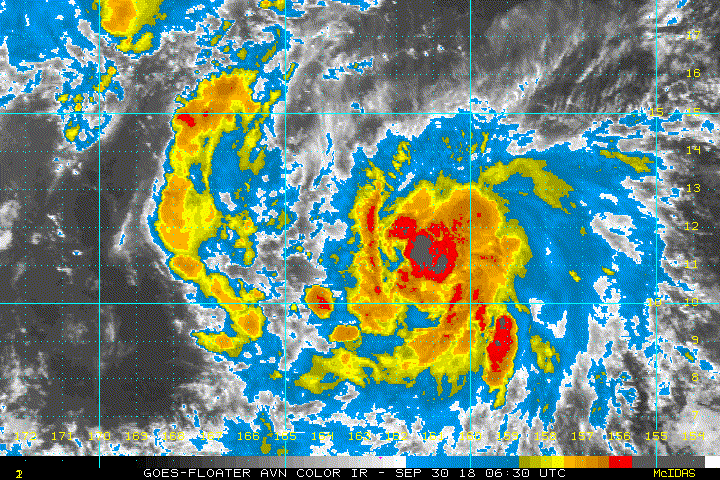
24H 30/1800Z 11.8N 164.2W 60 KT 70 MPH
36H 01/0600Z 12.5N 166.6W 75 KT 85 MPH
48H 01/1800Z 13.4N 168.4W 90 KT 105 MPH
72H 02/1800Z 16.5N 169.6W 110 KT 125 MPH
96H 03/1800Z 21.4N 168.5W 100 KT 115 MPH
120H 04/1800Z 27.0N 168.0W 80 KT 90 MPH
Edit: apologies, I can't post the whole discussion as I'm using my phone and the formatting is jumbled.
0 likes
PLEASE NOTE: With the exception of information from weather agencies that I may copy and paste here, my posts will NEVER be official, since I am NOT a meteorologist. They are solely my amateur opinion, and may or may not be accurate. Therefore, please DO NOT use them as official details, particularly when making important decisions. Thank you.