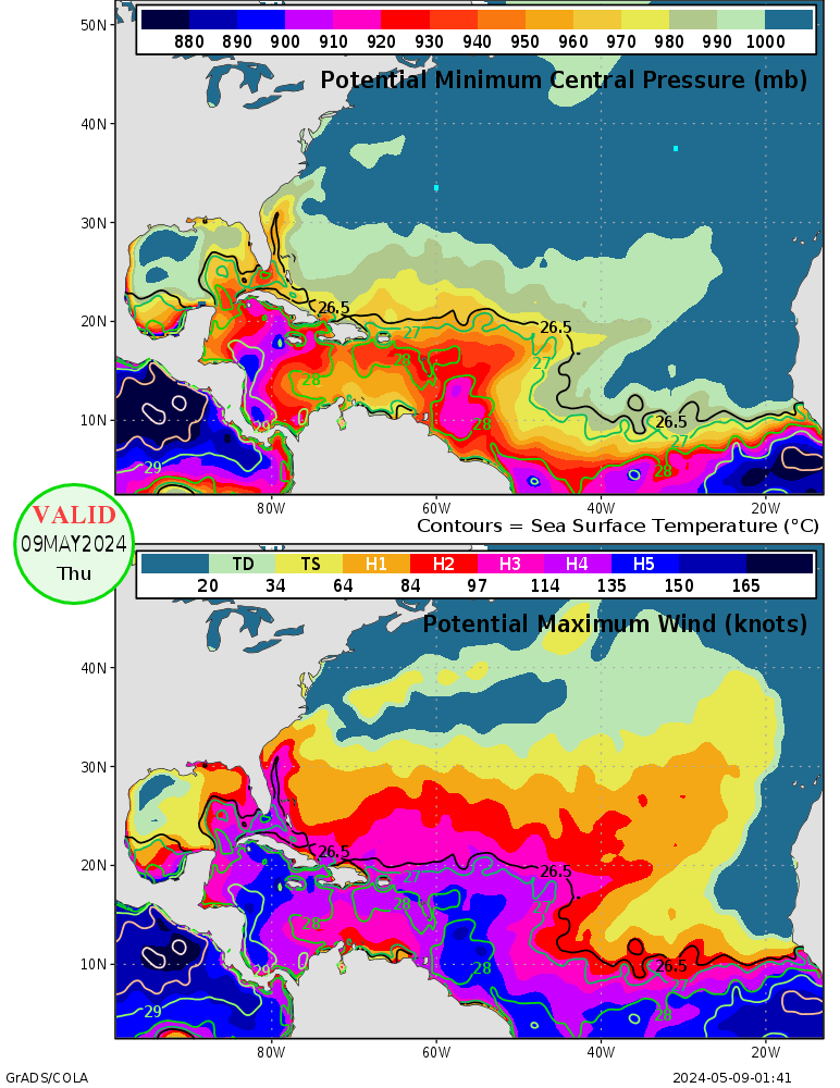
High -Res GOM Water Temp Map
Moderator: S2k Moderators
Forum rules
The posts in this forum are NOT official forecasts and should not be used as such. They are just the opinion of the poster and may or may not be backed by sound meteorological data. They are NOT endorsed by any professional institution or STORM2K. For official information, please refer to products from the National Hurricane Center and National Weather Service.
High -Res GOM Water Temp Map
does anyone know where i can find a high-res map of Rita's jet fuel?
0 likes
- WindRunner
- Category 5

- Posts: 5806
- Age: 35
- Joined: Fri Jul 29, 2005 8:07 pm
- Location: Warrenton, VA, but Albany, NY for school
- Contact:
Heat Content...
http://www.aoml.noaa.gov/phod/dataphod1/work/HHP/NEW/2005262go.jpg
Do notice its rather low the closer you approach TX.
http://www.aoml.noaa.gov/phod/dataphod1/work/HHP/NEW/2005262go.jpg
Do notice its rather low the closer you approach TX.
0 likes
-
SouthernWx
SouthernWx wrote:The GOM sst chart I utilize....
http://www.osdpd.noaa.gov/PSB/EPS/SST/d ... fmex.c.gif
PW
Thats the one I like. Notice, while the warmest values are in Rita's path and they are well sustainable for a strong storm, those numbers are NOWHERE near what they were in Katrina's path.
0 likes
-
Mac
jkt21787 wrote:SouthernWx wrote:The GOM sst chart I utilize....
http://www.osdpd.noaa.gov/PSB/EPS/SST/d ... fmex.c.gif
PW
Thats the one I like. Notice, while the warmest values are in Rita's path and they are well sustainable for a strong storm, those numbers are NOWHERE near what they were in Katrina's path.
30 to 31 C is plenty warm enough to sustain a sub-900 storm, given all other synoptic factors likewise being favorable. Unfortunately, about the only thing she won't have going for her is a little dry air. But if she gets as big as it looks like she might, I'm not so sure a little dry air is going to put that big of a dent in her quarter panel.
0 likes
- wxmann_91
- Category 5

- Posts: 8013
- Age: 34
- Joined: Fri Jul 15, 2005 2:49 pm
- Location: Southern California
- Contact:
http://fermi.jhuapl.edu/avhrr/gm/averages/05sep/
BTW, compare the water temps from today to the water temps a day before Katrina formed.
No comparison.
And you might want to read this:
(from http://www.aoml.noaa.gov/hrd/tcfaq/H7.html)
BTW, compare the water temps from today to the water temps a day before Katrina formed.
No comparison.
And you might want to read this:
With all other factors being equal, being "off" by a mere 0.5°C (1°F) can be the difference between a storm that rapidly intensifies to one that falls apart!
(from http://www.aoml.noaa.gov/hrd/tcfaq/H7.html)
0 likes
-
FunkMasterB
- Tropical Depression

- Posts: 96
- Joined: Tue Sep 20, 2005 2:24 am
wxmann_91 wrote:http://fermi.jhuapl.edu/avhrr/gm/averages/05sep/
BTW, compare the water temps from today to the water temps a day before Katrina formed.
No comparison.
The problem is that once temperatures reach a certain point, category 5 storms can theoretically sustain themselves quite easily. The temperatures this summer are past that point. Here, the entire potential path could support a category 5 under optimal conditions.
0 likes
-
soonertwister
- Category 5

- Posts: 1091
- Joined: Mon Jun 16, 2003 2:52 pm
C'mon please!
Temps might have been a degree or two warmer for Katrina at most. Warm water depths weren't as deep, and upwelling was more significant for Katrina than is likely for Rita, because Katrina was moving slower.
And even venerable Max Mayfield has said that above a certain point, intensity due to surface temps is very much overestimated.
Talk about sheer, troughs, acts of God. The temperature every single place in the Gulf is EASILY enough to support a category 5 hurricane.
If you feel fine at 98.6, do you feel deathly ill at 100.0?
I don't think so. This whole subject is off topic as far as I am concerned. I certainly won't bother to comment further.
Last edited by soonertwister on Wed Sep 21, 2005 12:18 am, edited 1 time in total.
0 likes
- deltadog03
- Professional-Met

- Posts: 3580
- Joined: Tue Jul 05, 2005 6:16 pm
- Location: Macon, GA
Who is online
Users browsing this forum: Google Adsense [Bot] and 99 guests


