Imagery spanning the birth & death of the South ATLC cyc

This is the general tropical discussion area. Anyone can take their shot at predicting a storms path.

Moderator: S2k Moderators

Forum rules

The posts in this forum are NOT official forecasts and should not be used as such. They are just the opinion of the poster and may or may not be backed by sound meteorological data. They are NOT endorsed by any professional institution or STORM2K. For official information, please refer to products from the National Hurricane Center and National Weather Service.

Help Support Storm2K
Message
Author
User avatar
AJC3
Admin
Admin
Posts: 4029
Age: 61
Joined: Tue Aug 31, 2004 7:04 pm
Location: Ballston Spa, New York
Contact:

Imagery spanning the birth & death of the South ATLC cyc

#1 Postby AJC3 » Sat Feb 25, 2006 12:36 am

Feb 20, 1709 UTC

Image

Feb 21, 1109 UTC

Image

Feb 21, 1439 UTC

Image


Feb 21, 2209 UTC

Image

Feb 22, 1309 UTC

Image

Feb 22, 1910 UTC

Image

Feb 22, 2339 UTC

Image

Feb 23, 0809 UTC

Image


Feb 23, 1309 UTC

Image

Feb 23, 1445 UTC

Image

Feb 23, 1739 UTC

Image

Feb 23, 2039 UTC

Image

Feb 24, 0239 UTC

Image

Feb 24, 0809 UTC

Image

Feb 24, 0945 UTC

Image
Last edited by AJC3 on Sat Feb 25, 2006 2:03 pm, edited 1 time in total.
0 likes   

Jim Cantore

#2 Postby Jim Cantore » Sat Feb 25, 2006 12:48 am

I dont know about anyone else But I think we are looking at a TS there
0 likes   

Matt-hurricanewatcher

#3 Postby Matt-hurricanewatcher » Sat Feb 25, 2006 1:06 am

Hurricane Floyd wrote:I dont know about anyone else But I think we are looking at a TS there


I agree...It normal for these kind of system to be stronger then the data shows them.
0 likes   

User avatar
Dr. Jonah Rainwater
Category 2
Category 2
Posts: 569
Joined: Sat Jul 23, 2005 2:45 pm
Location: Frisco, Texas
Contact:

#4 Postby Dr. Jonah Rainwater » Sat Feb 25, 2006 1:37 am

I thought this system was cold-core...(correct me if I'm wrong)
0 likes   

Matt-hurricanewatcher

#5 Postby Matt-hurricanewatcher » Sat Feb 25, 2006 1:43 am

That is no where near cold core. That looks better then Arlene,cindy,Tropical storm Lee,tropical storm Alison,tropical storm larry,gert,Bret...No my friend even the t number people thought it was warm core. Even beven from the tpc thought so also...I'm starting to think it might of been a good 15 knots stronger at its peak then the data shown.
0 likes   

User avatar
AJC3
Admin
Admin
Posts: 4029
Age: 61
Joined: Tue Aug 31, 2004 7:04 pm
Location: Ballston Spa, New York
Contact:

#6 Postby AJC3 » Sat Feb 25, 2006 1:48 am

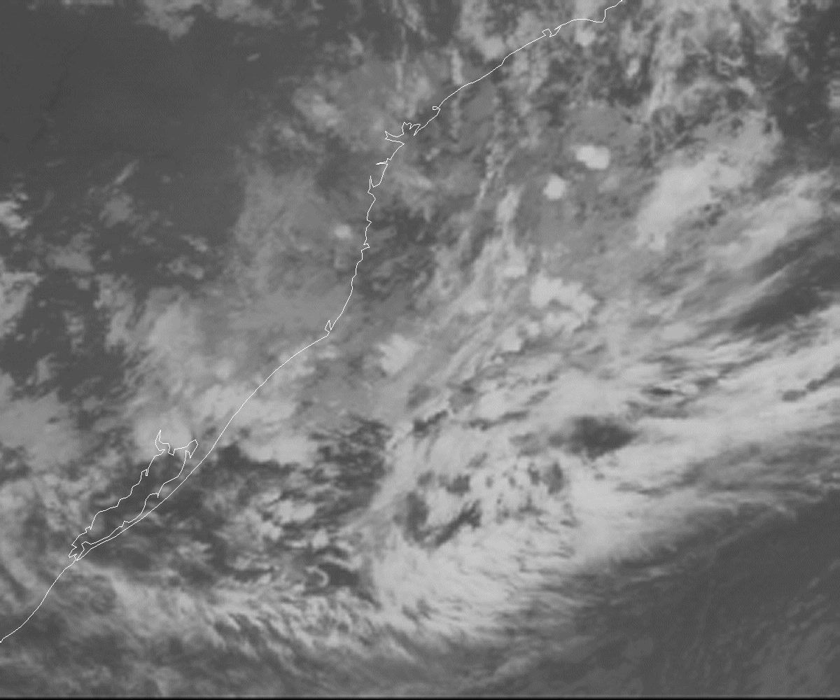
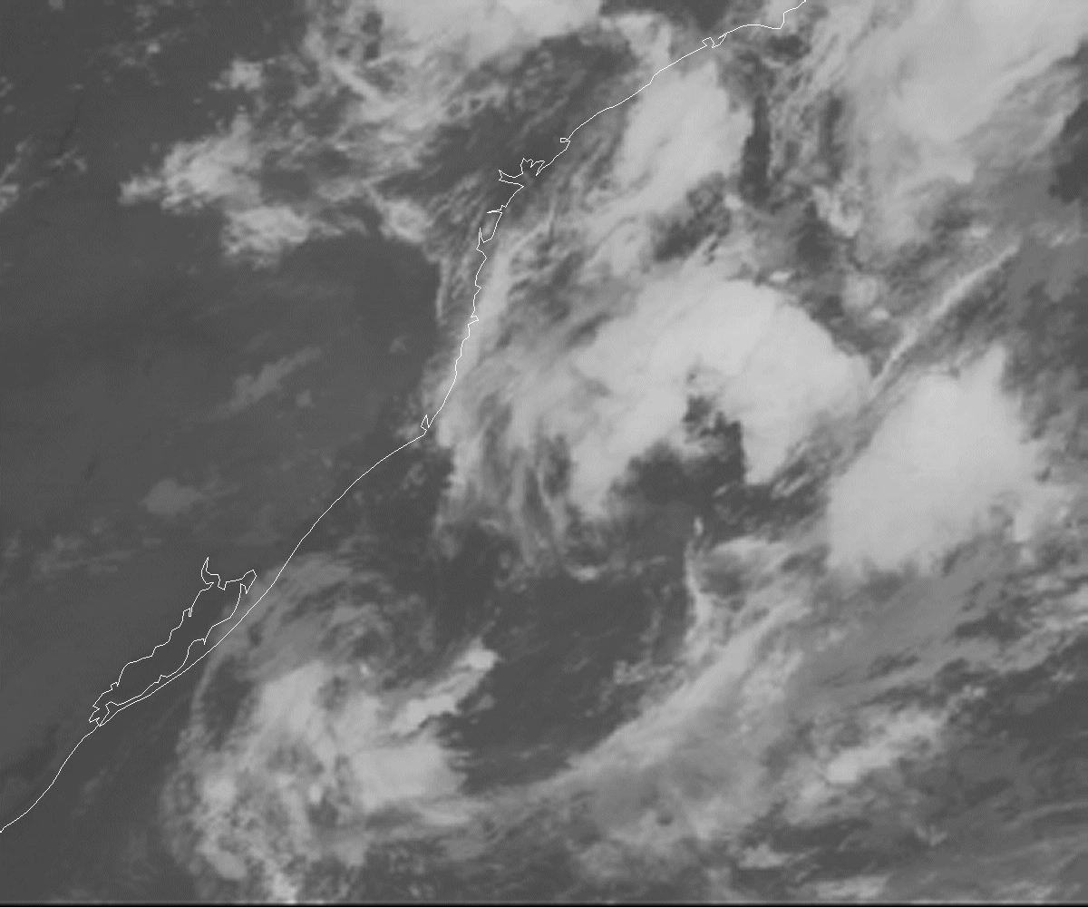
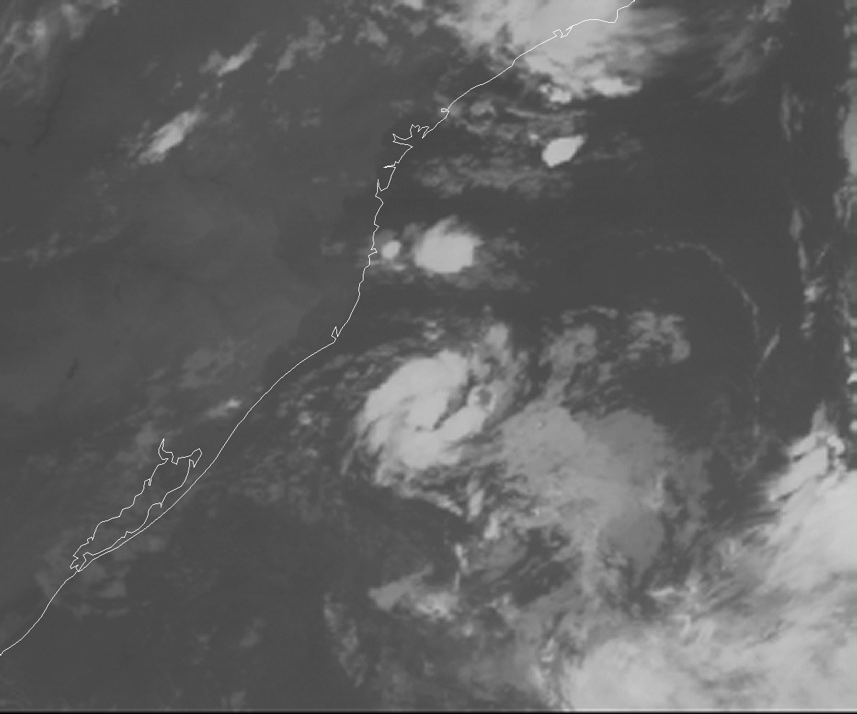
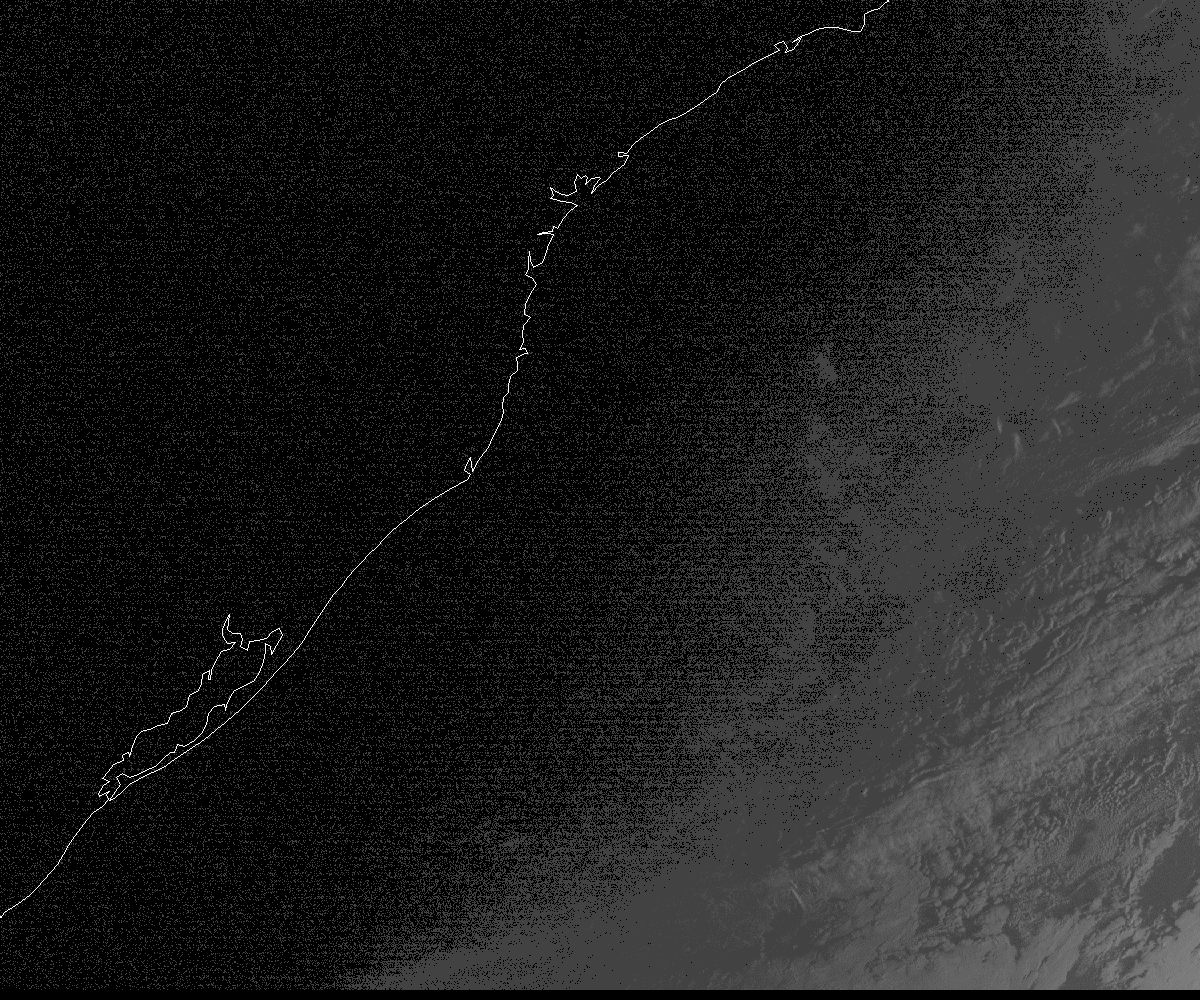
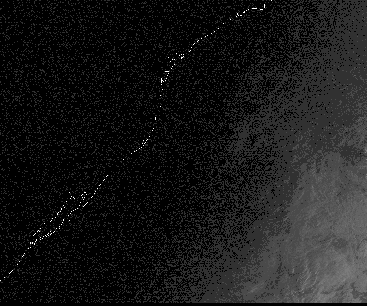
As a quick follow up comment, I'm sitting here looking at a 4-day time lapse from early on the 20th through the morning of the 24th. The static images really don't do this system justice as far as making an analysis goes. So, without the benefit of looking at other data (surface, upper air), and only a foggy memory of some QS images from a few days ago, a few things are apparent to me.

1) Environmental conditions, while allowing the system to form, were never all that great.

Sure, in a relative sense, conditions were quite a bit more favorable than normal (after all, the thing actually spun up). However, I think this speaks volumes about how hostile conditions typically are in the south Atlantic, and how much of an anomaly it was for conditions to remain as favorable as long as they did for the life cycle of Catarina.

Convection pulsed throughout the life of this cyclone but as soon as it did it, shear ripped convection away from the center - initally by northerly shear, then toward the end, the shear became westerly. SST's were marginal, and it didn't appear as if the instability was all that great either - i.e. the air aloft may not have been anamalously cool enough to offset the marginal SST's. I'd need to examine watervapor imagery and sounder-derived upper air temps in that area to be sure, however.

For grins, I pulled out my disc with the January 2004 cyclone imagery, and noted that southerly shear is what did it in.

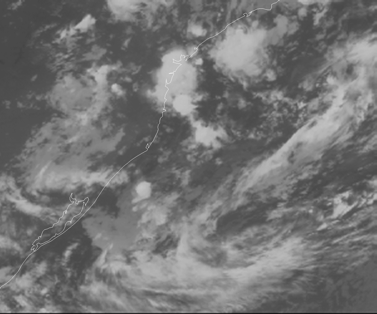
2) Midget TC = probable QS underestimation of wind speeds

Based on the tight cloud motion I see in the visible time lapse, there's little doubt in my mind that for a time, the sustained winds reached TS force in a small area near the center. I think most people have been ball parking it somewhere between 25kt and 40kt...my guess would be at the upper end of that range...35-40kt. YOMV.

BTW...if anyone has about 100MB of free space, I'd be happy to dump visible and IR time lapses from the 20th through the morning of the 24th. The time lapses are animated gifs (10) files, around 9MB each.[/b]
0 likes   

User avatar
TheEuropean
Professional-Met
Professional-Met
Posts: 1797
Age: 60
Joined: Tue Sep 20, 2005 3:17 pm
Location: Voerde, Germany
Contact:

#7 Postby TheEuropean » Sat Feb 25, 2006 2:26 am

AJC3 wrote:BTW...if anyone has about 100MB of free space, I'd be happy to dump visible and IR time lapses from the 20th through the morning of the 24th. The time lapses are animated gifs (10) files, around 9MB each.[/b]


You have pm.
0 likes   

User avatar
WindRunner
Category 5
Category 5
Posts: 5806
Age: 34
Joined: Fri Jul 29, 2005 8:07 pm
Location: Warrenton, VA, but Albany, NY for school
Contact:

#8 Postby WindRunner » Sat Feb 25, 2006 10:16 am

TheEuropean wrote:
AJC3 wrote:BTW...if anyone has about 100MB of free space, I'd be happy to dump visible and IR time lapses from the 20th through the morning of the 24th. The time lapses are animated gifs (10) files, around 9MB each.[/b]


You have pm.
0 likes   

no advance
Category 1
Category 1
Posts: 413
Joined: Wed Aug 24, 2005 1:50 pm
Location: merritt is.

#9 Postby no advance » Sat Feb 25, 2006 10:51 am

Looks like a tc to me. Thanks.
0 likes   

User avatar
HURAKAN
Professional-Met
Professional-Met
Posts: 46086
Age: 38
Joined: Thu May 20, 2004 4:34 pm
Location: Key West, FL
Contact:

#10 Postby HURAKAN » Sat Feb 25, 2006 11:38 am

no advance wrote:Looks like a tc to me. Thanks.


Agree 100%. It looks as tropical as any tropical cyclone I have ever seen.
0 likes   

MiamiensisWx

#11 Postby MiamiensisWx » Sat Feb 25, 2006 11:42 am

HURAKAN wrote:Agree 100%. It looks as tropical as any tropical cyclone I have ever seen.


Agreed. It definately seems to have had a small, warm core.
0 likes   

Weatherfreak000

#12 Postby Weatherfreak000 » Sat Feb 25, 2006 12:07 pm

Dr. Jeff Masters made a blog about the South American system calling it a Tropical Depression and talking about how a list of names should be considered for that region.


Link - http://www.wunderground.com/blog/JeffMasters/show.html
0 likes   

User avatar
Epsilon_Fan
Category 1
Category 1
Posts: 353
Joined: Fri Jan 13, 2006 1:03 pm
Location: Charleston, SC

#13 Postby Epsilon_Fan » Sat Feb 25, 2006 12:52 pm

Image
I'm a newbie and all but I've never seen a depression with an eye-like feature like that... I doubt it is a true eye but I thought only strong TS's and hurricanes could develop an eye?
0 likes   

User avatar
HURAKAN
Professional-Met
Professional-Met
Posts: 46086
Age: 38
Joined: Thu May 20, 2004 4:34 pm
Location: Key West, FL
Contact:

#14 Postby HURAKAN » Sat Feb 25, 2006 12:54 pm

I saw the image and also questioned myself, but I don't have a definite answer. I hope the pros and experts have an answer for such a puzzling image. Amazing, nevertheless!!!
0 likes   

User avatar
TheEuropean
Professional-Met
Professional-Met
Posts: 1797
Age: 60
Joined: Tue Sep 20, 2005 3:17 pm
Location: Voerde, Germany
Contact:

#15 Postby TheEuropean » Sat Feb 25, 2006 12:57 pm

Epsilon_Fan wrote:Image
I'm a newbie and all but I've never seen a depression with an eye-like feature like that... I doubt it is a true eye but I thought only strong TS's and hurricanes could develop an eye?


You are right, for a very short time there was something eyelike. AJC3 will post some very interesting visible and IR time lapses soon.
0 likes   


User avatar
P.K.
Professional-Met
Professional-Met
Posts: 5149
Joined: Thu Sep 23, 2004 5:57 pm
Location: Watford, England
Contact:

#17 Postby P.K. » Sat Feb 25, 2006 1:50 pm

Good thing I can download these images at 1.5MB a second, lol. They look good but I'll take a closer look at them later.
0 likes   

JonathanBelles
Professional-Met
Professional-Met
Posts: 11430
Age: 35
Joined: Sat Dec 24, 2005 9:00 pm
Location: School: Florida State University (Tallahassee, FL) Home: St. Petersburg, Florida
Contact:

#18 Postby JonathanBelles » Sat Feb 25, 2006 3:13 pm

can u make those any smaller so i can look at them w/o scrolling?
0 likes   

User avatar
WindRunner
Category 5
Category 5
Posts: 5806
Age: 34
Joined: Fri Jul 29, 2005 8:07 pm
Location: Warrenton, VA, but Albany, NY for school
Contact:

#19 Postby WindRunner » Sat Feb 25, 2006 3:36 pm

Epsilon_Fan wrote:I'm a newbie and all but I've never seen a depression with an eye-like feature like that... I doubt it is a true eye but I thought only strong TS's and hurricanes could develop an eye?


Remember 90L's (soon-to-be Franklin's) eye? Wasn't even a TD yet at this point.

Image
0 likes   

Matt-hurricanewatcher

#20 Postby Matt-hurricanewatcher » Sat Feb 25, 2006 5:35 pm

The LLC was 10 times stronger the frankie at that time. Looking at the satellite it appears that it could of easly been a tropical storm. Yes the t number and quickscat data doe's not quite show it. But these systems are known to be some what stronger then they appear.
0 likes   


Return to “Talkin' Tropics”

Who is online

Users browsing this forum: No registered users and 65 guests