Where's the severe weather?
Moderator: S2k Moderators
Forum rules
The posts in this forum are NOT official forecast and should not be used as such. They are just the opinion of the poster and may or may not be backed by sound meteorological data. They are NOT endorsed by any professional institution or STORM2K.
- Extremeweatherguy
- Category 5

- Posts: 11095
- Joined: Mon Oct 10, 2005 8:13 pm
- Location: Florida
Where's the severe weather?
Where is all the severe weather this week? It has been so cool throughout the plains and the east that nothing can get firing. I am hoping we see a good southern plains outbreak soon. I would love to get a good "true" thunderstorm in my area SOON! In my opinion a "true" thunderstorm includes wind gusts over 45mph, torential downpours (sometimes with hail), frequent or excessive CG lightning, and black billowing clouds that you can see coming from a distance. It has been so long since we have seen something like that. The best would be if we could get a nice night time lightning show. There is nothing like feeling the breeze of the storm inflow as you watch the billowing cloud explode with light in the distance. Then the storm moves toward you and the thunder becomes audible and a cool outflow gust wipes across. This is all followed by a pretty good rain shower and some loud thunder. Ahh...can't wait for something like that... 
0 likes
- PTrackerLA
- Category 5

- Posts: 5281
- Age: 42
- Joined: Thu Oct 10, 2002 8:40 pm
- Location: Lafayette, LA
- Extremeweatherguy
- Category 5

- Posts: 11095
- Joined: Mon Oct 10, 2005 8:13 pm
- Location: Florida

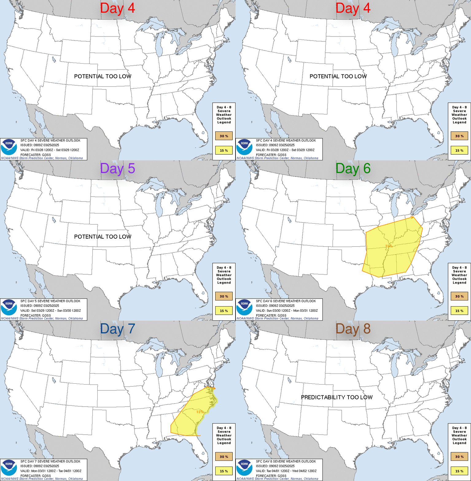
DAY 4-8 CONVECTIVE OUTLOOK
NWS STORM PREDICTION CENTER NORMAN OK
0330 AM CST FRI MAR 24 2006
VALID 271200Z - 011200Z
...DISCUSSION...
IN MID/UPPER LEVELS...PROGRESSIVE PATTERN FCST TO EVOLVE THIS PERIOD
AS SEVERAL SHORTWAVES ROTATE OUT OF NERN PACIFIC NEGATIVE HEIGHT
ANOMALY. OPERATIONAL SPECTRAL/UKMET/ECMWF...AS WELL AS VARIOUS
SPECTRAL MREF MEMBERS AGREE ON EWD MOVEMENT OF UPPER LOW OR STRONG
SHORTWAVE TROUGH ACROSS SWRN/CENTRAL CONUS -- A FEATURE NOW EVIDENT
IN MOISTURE CHANNEL IMAGERY OFFSHORE NRN WA AND BC. LACK OF DEEP
FRONTAL PENETRATION OF GULF...FOLLOWING CURRENT INTENSE
EPISODE...SHOULD ALLOW ROBUST MOIST SECTOR RETURN BY DAYS 6-7 AHEAD
OF THIS FEATURE...IN SUPPORT OF SVR POTENTIAL OVER BROAD ENOUGH AREA
FOR OUTLOOK.
..EDWARDS.. 03/24/2006
FINALLY!!
0 likes
-
HurricaneHunter914
- Category 5

- Posts: 4439
- Age: 32
- Joined: Fri Mar 10, 2006 7:36 pm
- Location: College Station, TX
Return to “USA & Caribbean Weather”
Who is online
Users browsing this forum: cstrunk and 62 guests
