Storms in Houston next weekend?
Moderator: S2k Moderators
Forum rules
The posts in this forum are NOT official forecast and should not be used as such. They are just the opinion of the poster and may or may not be backed by sound meteorological data. They are NOT endorsed by any professional institution or STORM2K.
- PTrackerLA
- Category 5

- Posts: 5281
- Age: 42
- Joined: Thu Oct 10, 2002 8:40 pm
- Location: Lafayette, LA
- Extremeweatherguy
- Category 5

- Posts: 11095
- Joined: Mon Oct 10, 2005 8:13 pm
- Location: Florida
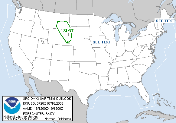
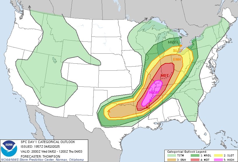
Latest SPC outlook has us "near" the slight chance of severe weather for the next 2 days, and that usually means that an isolated severe storm is possible...but more importantly...FRIDAY looks to be our day for a real chance at severe storms (the first all Spring):

...ERN TX NEWD INTO THE CNTRL APPALACHIANS...
A MOIST LOW-LEVEL AIR MASS WITH DEWPOINTS IN THE 60S IS EXPECTED TO
BE PRESENT S OF FRONTAL BOUNDARY AS FAR N AS THE TN VALLEY. THIS
MOISTURE ALONG WITH DAYTIME HEATING ARE EXPECTED TO CONTRIBUTE TO
POCKETS OF MODERATE INSTABILITY WITH MLCAPES APPROACHING 1000-1500
J/KG AT SOME LOCATIONS.
TSTMS WILL BE ONGOING FRIDAY MORNING FROM NEAR FRONTAL WAVE OVER AR
EWD INTO WAA REGIME OVER TN...AS WELL AS ALONG TRAILING COLD FRONT
INTO ERN AND CNTRL TX. HEIGHT FALLS AHEAD OF SRN STREAM SHORT WAVE
TROUGH COUPLED WITH DIABATIC HEATING SHOULD AID IN DESTABILIZATION
OF WARM SECTOR THROUGH THE DAY...SUPPORTING AN INCREASE IN STORM
COVERAGE AND INTENSITY.
ONE CONCERN IS HOW FAR NE ENVIRONMENT WILL DESTABILIZE SUFFICIENTLY
TO SUPPORT AN ORGANIZED SEVERE THREAT. CURRENTLY...IT APPEARS THE
NAM IS TOO AGGRESSIVE IN THIS DESTABILIZATION INTO THE UPPER OH
VALLEY...WITH THE BETTER SEVERE POTENTIAL FARTHER TO THE S FROM THE
TN VALLEY INTO THE WRN AND CNTRL GULF STATES. HOWEVER...THESE
TRENDS WILL HAVE TO BE MONITORED.
LARGELY UNIDIRECTIONAL WIND PROFILES WITH 40-45 KTS OF DEEP SPEED
SHEAR SUGGEST THAT SW-NE ORIENTED CONVECTIVE BANDS WILL LIKELY BE
PRIMARY CONVECTIVE MODE WITH THE THREAT FOR DAMAGING WINDS...SOME
HAIL AND PERHAPS A COUPLE OF TORNADOES. BEST POTENTIAL FOR
SUPERCELLS AND TORNADOES APPEARS TO BE INVOF MIGRATORY SURFACE LOW
WHERE LOCALLY BACKED SURFACE WINDS WILL RESULT IN GREATER LOW-LEVEL
HODOGRAPH CURVATURE.
0 likes
- Extremeweatherguy
- Category 5

- Posts: 11095
- Joined: Mon Oct 10, 2005 8:13 pm
- Location: Florida
Well folks, the 2:30pm SPC Day 1 update now has NW Houston sitting on the "edge" of the slight risk area. In my opinion, I do not think I would be surprised to see some of the activity shift over this direction after sunset. According to the SPC...supercells will likely develope and be capable of VERY large hail and 60+mph downburst winds. Also, if we get an event like last night where a dying storm resulted in a 60-70mph downburst (which lasted for 3 hours) then we could be in real trouble over here in NW Houston. I will be watching the skies for sure this evening!


0 likes
- jasons2k
- Storm2k Executive

- Posts: 8290
- Age: 52
- Joined: Wed Jul 06, 2005 12:32 pm
- Location: The Woodlands, TX
I really wouldn't expect anything tonight for us, not even a windshift from the outflows. Looks like Friday will be our day.
edited to say "for us" - as in - those of us in the Houston area
edited to say "for us" - as in - those of us in the Houston area
Last edited by jasons2k on Wed Apr 19, 2006 4:34 pm, edited 1 time in total.
0 likes
- Portastorm
- Storm2k Moderator

- Posts: 9955
- Age: 63
- Joined: Fri Jul 11, 2003 9:16 am
- Location: Round Rock, TX
- Contact:
- Extremeweatherguy
- Category 5

- Posts: 11095
- Joined: Mon Oct 10, 2005 8:13 pm
- Location: Florida
Return to “USA & Caribbean Weather”
Who is online
Users browsing this forum: No registered users and 115 guests

