
Taking a look at this drought affecting the Mid Atlantic reveals several interesting facts. First precipitation totals since June 1, 2005 are very close to average. Secondly the majority of our deficits for the year 2006 started on March 1st and have gotten worse ever since. Finally this short term drought we're experiencing mainly pertains to agricultural interests, those that live on a well/ground water, and also low stream levels. Reservoirs are doing fine right now, HOWEVER if this drought becomes a longer term problem, reservoirs could suffer with water shortages in the coming months.
The following are monthly stats of rainfall for 2006 depicting a big deficit since March 1, 2006. However I calculated the past twelve months from June 1, 2005 to June 17, 2006 and it shows near or slightly above average precipitation. The stats are below for Baltimore Washington International Airport, the official reporting station for Baltimore located just south of Baltimore City.
TOTAL from June 1, 2005-June 17, 2006: 45.06 inches
SURPLUS from June 1, 2005-June 17, 2006: +0.07 inches
TOTAL DEPARTURES
June 2005: 3.74 inches +0.31 inches
July 2005: 8.77 inches +4.92 inches
August 2005: 3.71 inches -0.03 inches
September 2005: 0.67 inches -3.31 inches
October 2005: 9.23 inches +6.07 inches
November 2005: 2.12 inches -1.00 inches
December 2005: 3.90 inches +0.55 inches
January 2006: 3.48 inches +0.01 inches
February 2006: 2.64 inches -0.38 inches
March 2006: 0.18 inches * -3.75 inches
April 2006: 3.28 inches +0.28 inches
May 2006: 1.60 inches -2.29 inches
June 2006: 1.74 inches -0.83 inches
* all time driest month on record: March 2006
FOR THE PAST 12 MONTHS: JUNE 1, 2005-JUNE 17, 2006: BWI MARSHALL
TOTAL 45.06 inches SURPLUS: 0.07 inches
FOR THE YEAR 2006: BWI MARSHALL
TOTAL: 12.30 inches DEFICIT: 7.44 inches
We are currently under a moderate drought from Baltimore and Washington DC points west into northern Virginia and the western Maryland Mountains. East of the bay and down towards Hampton Roads and the Tarheel State, North Carolina, drought impacts are virtually none existent due to the affects from Alberto's heavy rains. However central and northwestern Maryland and northern Virginia saw no rain from Alberto, thus our drought continues and it could worsen significantly with time.
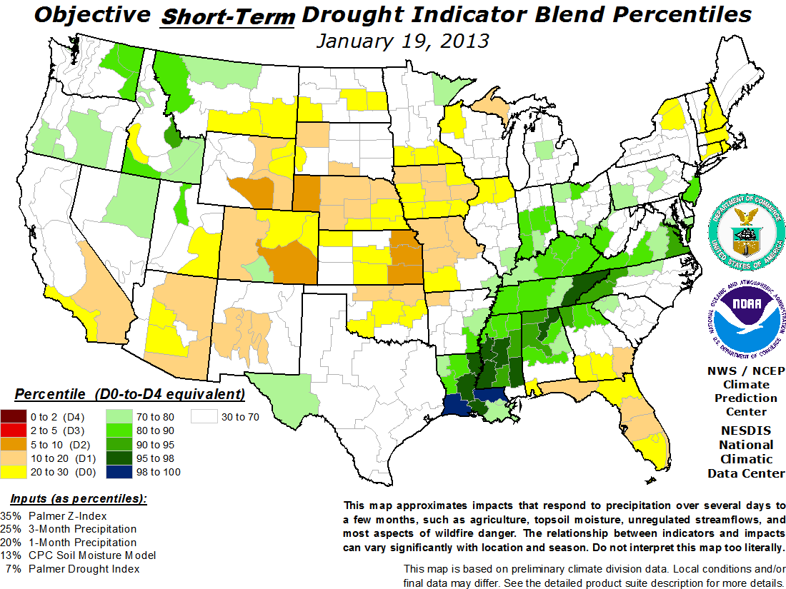
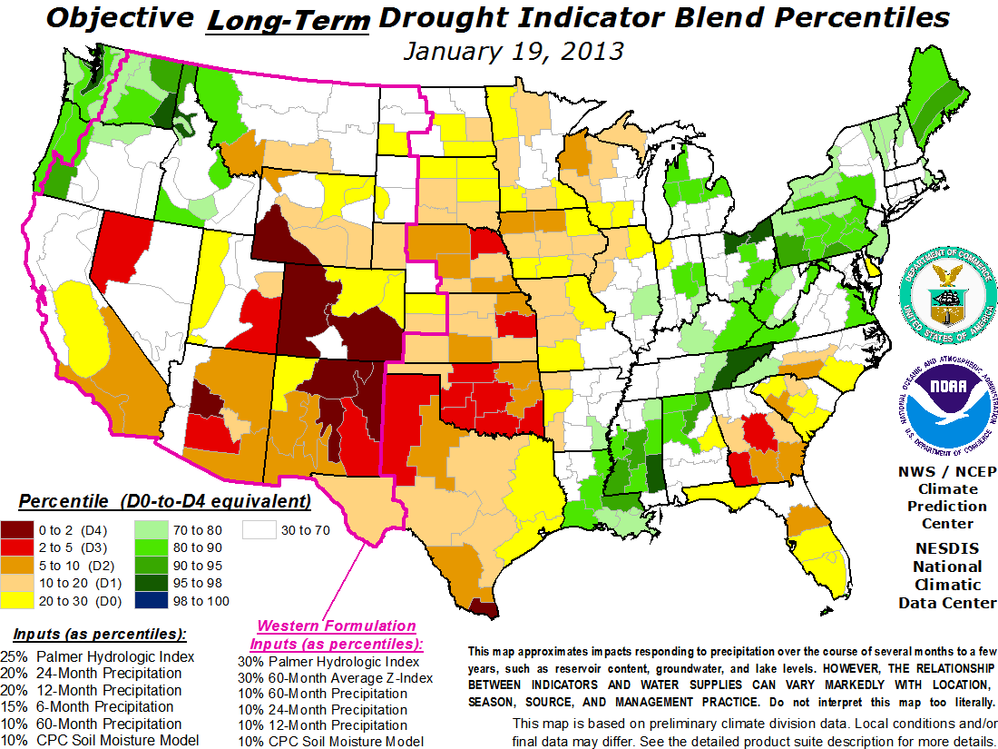
We will continue to monitor this very closely. Below I got a few links for you guys to check out regarding the drought situation here in the Mid Atlantic including a drought watch north and west of baltimore and across the eastern shore of Maryland. The entire state of Pennsylvania is also underneath a drought watch. I also got additional graphics showing the state of drought conditions across the rest of the country.
http://www.drought.unl.edu/dm/monitor.html
http://www.cpc.ncep.noaa.gov/products/p ... bfinal.gif
http://www.cpc.ncep.noaa.gov/products/p ... bfinal.gif
http://websrvr.mde.state.md.us/Water/Drought/index.asp
Happy fathers day everyone!!!
Jim
Mid Atlantic Drought report
Moderator: S2k Moderators
Forum rules

The posts in this forum are NOT official forecast and should not be used as such. They are just the opinion of the poster and may or may not be backed by sound meteorological data. They are NOT endorsed by any professional institution or STORM2K.
Mid Atlantic Drought report
0 likes
-
Stephanie

- S2K Supporter

- Posts: 23843
- Age: 63
- Joined: Thu Feb 06, 2003 9:53 am
- Location: Glassboro, NJ
Yeah, Alberto totally skirted us as well. It looks like Rehobeth and Ocean City, MD got a good drenching as Alberto exited off the coast and went just to our east.
I have a feeling that we will reap some kind of benefit from a tropical system sometime this year. That is always what ends our droughts. So far Philadelphia has had about 3.7" of rain this month, but the heat is building and that benefit won't last if we don't get some decent thunderstorms during the next week.
Great information as always Jim!
0 likes
Yea, we have a 0.83 inch deficit for the month so far, that could go up to 0.94 inches by the end of today if we see no rain. While thunderstorm chances are there later Monday and again to a more isolated extent later Tuesday, I think most places might not see much at all south of the Mason Dixon line except in a few isolated locations. We only have 1.13 inches of precipitation this month in Baltimore, we missed everything this month, just thunderstorm type rains, that's it.
I can't wait to see how drought conditions are, especially if we don't benefit much during the next week with thunderstorms. The phrase "when in drought, leave it out" might imply in many areas this week.
On a more personal note, It's great to be back posting more frequently again, I missed you all!!! So it's great to be back.
Jim
0 likes
-
itglobalsecure
Torrential Drenching in DC
Well, we finally had two bands of very heavy rain go through. My husband is out on the Eastern Shore (between Denton MD and Dover DE), and he sees the dark clouds just about to open up out there. Will be interesting to see what rain came of this.
0 likes
Living near Baltimore in Essex, MD, we ended up seeing some rain finally. But it was brief and definitely not enough to alleviate the deficit issues. The airport in Baltimore only saw less than 1/4 inch today and tomorrow looks like a drier scenario setting up.
The heaviest storms were east of us over kent county as a line segment, which went overtop of us bowed out over the bay. That backwards c shape we see on the radar will typically indicate damaging winds with any thunderstorm line segments.
Similar scenario occurred near Washington DC earlier this evening, damaging winds followed by a period of heavy flooding rains in the DC region.
As of 12:13 am, storms are refiring over south central PA and could make it inot northern Maryland after 1:30 am. If they hold together, they could threaten the Baltimore through Philadelphia corridor between 2 and 4 am with heavy rains and frequent lightning the primary threat if they hold together.
Will monitor that closely. No severe weather was reported at my house, buy strong wind gusts did pick up alittle dust, tells you how dry it's been lately.
Jim
0 likes
Return to “USA & Caribbean Weather”
Who is online
Users browsing this forum: Captmorg70, wxman22 and 125 guests