Developing Low off of Georgia Coast?

This is the general tropical discussion area. Anyone can take their shot at predicting a storms path.

Moderator: S2k Moderators

Forum rules

The posts in this forum are NOT official forecasts and should not be used as such. They are just the opinion of the poster and may or may not be backed by sound meteorological data. They are NOT endorsed by any professional institution or STORM2K. For official information, please refer to products from the National Hurricane Center and National Weather Service.

Help Support Storm2K
Message
Author
User avatar
Canelaw99
S2K Supporter
S2K Supporter
Posts: 2128
Age: 48
Joined: Tue Aug 31, 2004 8:27 am
Location: Homestead, FL

#41 Postby Canelaw99 » Fri Aug 25, 2006 12:02 pm

*slight O/T - sorry*

gatorcane, I was in Palm Harbor from about '84-'90 - went to school at PHMS, East Lake High, etc....

*back on topic now*

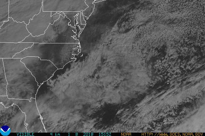
That little blob off the GA coast is definitely interesting, and I think it's interesting that there hasn't been much said about it overall.
0 likes   

curtadams
S2K Supporter
S2K Supporter
Posts: 1122
Joined: Sun Aug 28, 2005 7:57 pm
Location: Orange, California
Contact:

#42 Postby curtadams » Fri Aug 25, 2006 12:12 pm

Looks to be a mid level feature at the moment. Rotation is visible on sat but according to CIMSS wind analysis there's no low-level convergence and while the rotation is a vort max at 500 mb it isn't at 850. The environment looks favorable for development with a band of low shear.
0 likes   

User avatar
GrimReaper
Category 1
Category 1
Posts: 409
Joined: Fri May 23, 2003 10:17 pm

#43 Postby GrimReaper » Fri Aug 25, 2006 12:16 pm

Oh whippy doo... we don't have to wait for #5 to get here..... NOT!!! Only kidding. Even though we need the rain I hate rainy days... Tell it to go EAST!!!!!
0 likes   

User avatar
jdray
Category 3
Category 3
Posts: 853
Joined: Tue Aug 31, 2004 10:07 pm
Location: NE Florida

#44 Postby jdray » Fri Aug 25, 2006 2:33 pm

Nice heavy rain here all day...

Had some good gusts too.
35-40mph with the showers. Lots of energy in this mess.

Pressure is dropping as well. down to 29.96
0 likes   

User avatar
Tampa_God
Category 1
Category 1
Posts: 333
Age: 35
Joined: Wed May 31, 2006 7:27 pm
Location: New Port Richey/Trinity, FL

#45 Postby Tampa_God » Fri Aug 25, 2006 3:03 pm

TD#6 by late this night or tomorrow?

In say yes!
0 likes   

cpdaman
Category 5
Category 5
Posts: 3131
Joined: Sat Jun 10, 2006 11:44 am
Location: SPB county (gulf stream)

#46 Postby cpdaman » Fri Aug 25, 2006 4:39 pm

um no
0 likes   

CrazyC83
Professional-Met
Professional-Met
Posts: 34017
Joined: Tue Mar 07, 2006 11:57 pm
Location: Deep South, for the first time!

#47 Postby CrazyC83 » Fri Aug 25, 2006 4:41 pm

Tampa_God wrote:TD#6 by late this night or tomorrow?

In say yes!


I personally don't think so. It's not even an Invest (although I can see them putting 98L on it soon)
Last edited by CrazyC83 on Fri Aug 25, 2006 4:42 pm, edited 1 time in total.
0 likes   

User avatar
storms in NC
S2K Supporter
S2K Supporter
Posts: 2338
Joined: Thu Jul 28, 2005 2:58 pm
Location: Wallace,NC 40 miles NE of Wilm
Contact:

#48 Postby storms in NC » Fri Aug 25, 2006 4:55 pm

Any thing can happen now.
0 likes   

User avatar
Bane
Category 2
Category 2
Posts: 690
Joined: Wed Sep 17, 2003 3:06 pm
Location: Ogden, NC
Contact:

#49 Postby Bane » Fri Aug 25, 2006 5:01 pm

not likely
0 likes   

User avatar
Tampa_God
Category 1
Category 1
Posts: 333
Age: 35
Joined: Wed May 31, 2006 7:27 pm
Location: New Port Richey/Trinity, FL

#50 Postby Tampa_God » Fri Aug 25, 2006 5:06 pm

CrazyC83 wrote:
Tampa_God wrote:TD#6 by late this night or tomorrow?

In say yes!


I personally don't think so. It's not even an Invest (although I can see them putting 98L on it soon)

I actually meant to say Invest instead
0 likes   

HurricaneHunter914
Category 5
Category 5
Posts: 4439
Age: 31
Joined: Fri Mar 10, 2006 7:36 pm
Location: College Station, TX

#51 Postby HurricaneHunter914 » Fri Aug 25, 2006 5:49 pm

Why no mention in the TWD? This is really looking good.
0 likes   
Personal Forecast Disclaimer:
The posts in this forum are NOT official forecast and should not be used as such. They are just the opinion of the poster and may or may not be backed by sound meteorological data. They are NOT endorsed by any professional institution or storm2k.org. For official information, please refer to the NHC and NWS products.


User avatar
drezee
S2K Supporter
S2K Supporter
Posts: 3664
Joined: Mon Jun 09, 2003 12:49 pm
Location: FL

#53 Postby drezee » Sat Aug 26, 2006 8:59 am

buoys are still showing the low
0 likes   

User avatar
HURAKAN
Professional-Met
Professional-Met
Posts: 46086
Age: 38
Joined: Thu May 20, 2004 4:34 pm
Location: Key West, FL
Contact:

#54 Postby HURAKAN » Sat Aug 26, 2006 9:13 am

Image

Surely an area to watch over the nex few days as the high pressure slides eastward and provides a better environment for the system.
0 likes   

Stormavoider
Category 2
Category 2
Posts: 671
Joined: Sat Jul 01, 2006 4:37 pm
Location: Spring Hill Fl.

#55 Postby Stormavoider » Sat Aug 26, 2006 1:21 pm

Just add convection.
0 likes   


Return to “Talkin' Tropics”

Who is online

Users browsing this forum: aspen, gib, Ian2401, Sps123, Stratton23 and 52 guests