Hurricane Ernesto: Sat Pics, Models, Analysis Thread #1

This is the general tropical discussion area. Anyone can take their shot at predicting a storms path.

Moderator: S2k Moderators

Forum rules

The posts in this forum are NOT official forecasts and should not be used as such. They are just the opinion of the poster and may or may not be backed by sound meteorological data. They are NOT endorsed by any professional institution or STORM2K. For official information, please refer to products from the National Hurricane Center and National Weather Service.

Help Support Storm2K
Message
Author
MiamiensisWx

#441 Postby MiamiensisWx » Sun Aug 27, 2006 11:51 am

skysummit wrote:Ok I see it now. Thanks CVW!


Good, Scott. Do you see better now the potential effects of the trough and why the GFS may indicate what it does?
0 likes   

User avatar
gatorcane
S2K Supporter
S2K Supporter
Posts: 23691
Age: 47
Joined: Sun Mar 13, 2005 3:54 pm
Location: Boca Raton, FL

#442 Postby gatorcane » Sun Aug 27, 2006 11:52 am

if those tracks verify than Key West and Tampa are in BIG trouble.
0 likes   

Brent
S2K Supporter
S2K Supporter
Posts: 38095
Age: 37
Joined: Sun May 16, 2004 10:30 pm
Location: Tulsa Oklahoma
Contact:

#443 Postby Brent » Sun Aug 27, 2006 11:53 am

gatorcane wrote:if those tracks verify than Key West and Tampa are in BIG trouble.


and the entire West Coast below Tampa if it's that close.
Last edited by Brent on Sun Aug 27, 2006 11:53 am, edited 1 time in total.
0 likes   
#neversummer

User avatar
deltadog03
Professional-Met
Professional-Met
Posts: 3580
Joined: Tue Jul 05, 2005 6:16 pm
Location: Macon, GA

#444 Postby deltadog03 » Sun Aug 27, 2006 11:53 am

ok, i might be wrong....Looking at this better....I still there is something there on the southern part of the convection...but** it may be near land right now...my appologies.
0 likes   

User avatar
BonesXL
Tropical Storm
Tropical Storm
Posts: 148
Joined: Sat May 15, 2004 10:17 am
Location: Homestead, Florida
Contact:

#445 Postby BonesXL » Sun Aug 27, 2006 11:54 am

If ernie gets to close to Cuba ...are we allowed to fly recon missions that close to cuba...I think its 50 miles from their coast or something...does anyone know.
0 likes   

User avatar
skysummit
S2K Supporter
S2K Supporter
Posts: 5305
Age: 49
Joined: Tue Aug 31, 2004 11:09 pm
Location: Ponchatoula, LA
Contact:

#446 Postby skysummit » Sun Aug 27, 2006 11:54 am

CapeVerdeWave wrote:
skysummit wrote:Ok I see it now. Thanks CVW!


Good, Scott. Do you see better now the potential effects of the trough and why the GFS may indicate what it does?


I sure do. I wasn't looking far enough into the future. I try not to depend on models, but see what's actually going. I do now see the effects.
0 likes   

User avatar
cjrciadt
S2K Supporter
S2K Supporter
Posts: 1616
Joined: Mon Aug 22, 2005 1:11 pm
Location: Kissimmee, FL

#447 Postby cjrciadt » Sun Aug 27, 2006 11:55 am

Brent wrote:
gatorcane wrote:if those tracks verify than Key West and Tampa are in BIG trouble.


and the entire West Coast below Tampa if it's that close.
Exactly, I cant believe another Charley like track heading toward's FL. Yesterday I left thinking FL might be in the clear. :x Wobble watching greatly starting Tuesday.
0 likes   

MiamiensisWx

#448 Postby MiamiensisWx » Sun Aug 27, 2006 11:56 am

skysummit wrote:I try not to depend on models, but see what's actually going.


Same here. That's partially why I posted the more detailed graphic.
0 likes   

Brent
S2K Supporter
S2K Supporter
Posts: 38095
Age: 37
Joined: Sun May 16, 2004 10:30 pm
Location: Tulsa Oklahoma
Contact:

#449 Postby Brent » Sun Aug 27, 2006 11:56 am

BonesXL wrote:If ernie gets to close to Cuba ...are we allowed to fly recon missions that close to cuba...I think its 50 miles from their coast or something...does anyone know.


If it's OVER Cuba I don't think they can, but I do think they can fly if the center stays offshore(they have before).
0 likes   
#neversummer

User avatar
gatorcane
S2K Supporter
S2K Supporter
Posts: 23691
Age: 47
Joined: Sun Mar 13, 2005 3:54 pm
Location: Boca Raton, FL

#450 Postby gatorcane » Sun Aug 27, 2006 11:56 am

well most people thought I was nuts yesterday but hopefully you all don't think I am completely on crack.... :D

I wouldn't say the FL peninsula was a potential target if I didn't really think so..
Last edited by gatorcane on Sun Aug 27, 2006 12:00 pm, edited 1 time in total.
0 likes   

User avatar
bayoubebe
Category 1
Category 1
Posts: 313
Joined: Sun Jul 10, 2005 11:39 pm
Location: NOLA

#451 Postby bayoubebe » Sun Aug 27, 2006 11:57 am

cjrciadt wrote:
Brent wrote:
gatorcane wrote:if those tracks verify than Key West and Tampa are in BIG trouble.


and the entire West Coast below Tampa if it's that close.
Exactly, I cant believe another Charley like track heading toward's FL. Yesterday I left thinking FL might be in the clear. :x Wobble watching greatly starting Tuesday.


Is this set in stone now?

It has changed so much after the last 48 hours, but is this the OFFICIAL, definite track now?

Are Texas, Louisiana, MS out of the woods?
0 likes   

whereverwx
Category 5
Category 5
Posts: 1109
Joined: Mon May 31, 2004 10:15 pm

#452 Postby whereverwx » Sun Aug 27, 2006 11:58 am

What's the link to the Cuba radar?
Last edited by whereverwx on Sun Aug 27, 2006 12:06 pm, edited 1 time in total.
0 likes   

curtadams
S2K Supporter
S2K Supporter
Posts: 1122
Joined: Sun Aug 28, 2005 7:57 pm
Location: Orange, California
Contact:

#453 Postby curtadams » Sun Aug 27, 2006 12:00 pm

wxman57 wrote:
deltadog03 wrote:wxman...I respectfully dissagree with you. You can see the low level turning in the S or SW part of the blob. Look at the shortwave IR channel 2 loop....can see low level clouds rotating down there.


How are you seeing the low-level clouds on IR imagery? I have 1 kilometer visible loops running and don't see any low level turning southwest of the convective complex.


Bumps on the fringes of the CDO are rotating CCW and some satellite storms too. Of course those are (very) high clouds and their motion reflects the MLC not the LLC. But, with westerly upper shear and SWly mid shear you can't get an MLC well south of the Haiti coast from and LLC on the coast. So I think the LLC is still respectably out to sea.
0 likes   

User avatar
storms in NC
S2K Supporter
S2K Supporter
Posts: 2338
Joined: Thu Jul 28, 2005 2:58 pm
Location: Wallace,NC 40 miles NE of Wilm
Contact:

#454 Postby storms in NC » Sun Aug 27, 2006 12:00 pm

0 likes   

User avatar
chris_fit
Category 5
Category 5
Posts: 3222
Age: 42
Joined: Wed Sep 10, 2003 11:58 pm
Location: Tampa Bay Area, FL

#455 Postby chris_fit » Sun Aug 27, 2006 12:01 pm

storms in NC wrote:is just off shore of Haiti
http://www.ssd.noaa.gov/goes/flt/t2/vis.jpg


I Believe it has already made landfall in Haiti
0 likes   

rnbaida

#456 Postby rnbaida » Sun Aug 27, 2006 12:01 pm

can someone please post a physical map of haiti?
0 likes   

rnbaida

#457 Postby rnbaida » Sun Aug 27, 2006 12:02 pm

Are there any current conditions for haiti?
0 likes   

User avatar
Aquawind
Category 5
Category 5
Posts: 6714
Age: 62
Joined: Mon Jun 16, 2003 10:41 pm
Location: Salisbury, NC
Contact:

#458 Postby Aquawind » Sun Aug 27, 2006 12:04 pm

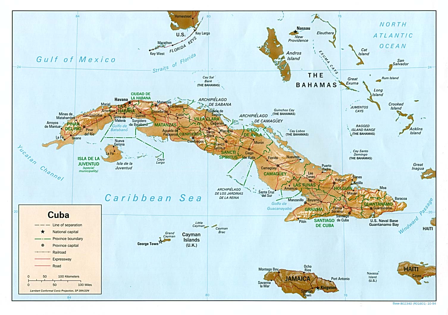
rnbaida wrote:can someone please post a physical map of haiti?


All we need I think..

http://www.lib.utexas.edu/maps/americas/cuba_rel94.jpg
0 likes   

User avatar
StrongWind
Tropical Storm
Tropical Storm
Posts: 240
Joined: Tue Aug 31, 2004 5:02 pm
Location: Deerfield Beach, FL

#459 Postby StrongWind » Sun Aug 27, 2006 12:04 pm

calamity wrote:What's the link to the Cube radar?


I had http://www.met.inf.cu but it doesn't seem to be working now.
0 likes   

rnbaida

#460 Postby rnbaida » Sun Aug 27, 2006 12:04 pm

has the 12z GFDL come out yet?
0 likes   


Return to “Talkin' Tropics”

Who is online

Users browsing this forum: 7cardinal, Blown Away, Google Adsense [Bot], Ulf and 33 guests