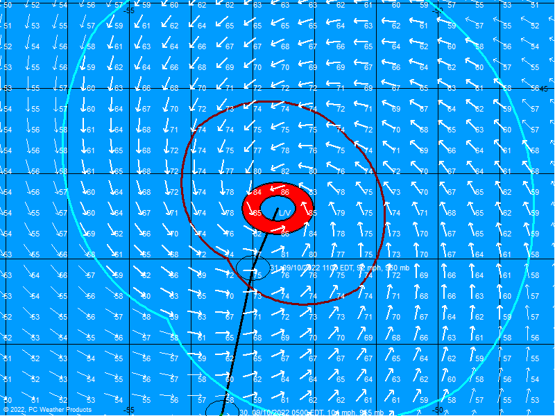
Hurricane Ernesto - Cat. 1
Moderator: S2k Moderators
-
Derek Ortt
-
Opal storm
- Epsilon_Fan
- Category 1

- Posts: 353
- Joined: Fri Jan 13, 2006 1:03 pm
- Location: Charleston, SC
-
miamicanes177
- Category 5

- Posts: 1131
- Joined: Tue Aug 01, 2006 10:53 pm
- Aquawind
- Category 5

- Posts: 6714
- Age: 62
- Joined: Mon Jun 16, 2003 10:41 pm
- Location: Salisbury, NC
- Contact:
fact789 wrote:does anyone have the link to the GFDL?
18Z
http://www.sfwmd.gov/org/omd/ops/weathe ... orm_05.gif
0 likes
-
Derek Ortt
edbri871 wrote:this is not a 60 m.p.h. TS, closer to 40-45 m.p.h., meaning I wonder if the hurricane watches for the Keys will be changed to TS watches
Derek I dont mean to argue with you, but some of your comments the last 2 days have really surprised me.
#1 you stated Ernesto "will not strike the west coast of florida"
#2 Hurricane watches/ warnings are posts if they expect hurricane conditions. They obviously expect this to intensify. What does the current intensity have to do with the expected winds in 48 hours?
I'm not Derek, but as far as #1, NOTHING is set in stone with these storms.
Remember, was it yesterday? , that it was going to hit Texas?
I know this is the most likely scenario TODAY it hitting western Florida, but it COULD change again.
Nature is crazy like that.
0 likes
- Blown Away
- S2K Supporter

- Posts: 10253
- Joined: Wed May 26, 2004 6:17 am
Derek Ortt wrote:this almost certainly will restrengthen some before hitting Cuba. It will have about 12-15 hours over water.
How much is the question.
That said, it should weaken over the 6,000 ft mountains of eastern Cuba
In YOUR OPINION, could those mountains of Cuba cause dissipation of this storm altogether.
*REGARDLESS OF HIS ANSWER* remember people, I am asking for his OPINION.
I enjoy reading his thoughts on the situation.
0 likes
-
miamicanes177
- Category 5

- Posts: 1131
- Joined: Tue Aug 01, 2006 10:53 pm
NATIONAL HURRICANE CENTER NORTH ATLANTIC OBJECTIVE AIDS FOR
TROPICAL STORM ERNESTO (AL052006) ON 20060828 0000 UTC
...00 HRS... ...12 HRS... ...24 HRS... ...36 HRS...
060828 0000 060828 1200 060829 0000 060829 1200
LAT LON LAT LON LAT LON LAT LON
BAMD 18.2N 74.4W 19.2N 75.9W 20.1N 77.3W 21.2N 78.9W
BAMM 18.2N 74.4W 19.4N 76.0W 20.6N 77.5W 21.8N 79.1W
A98E 18.2N 74.4W 19.1N 75.2W 20.3N 76.2W 21.8N 77.5W
LBAR 18.2N 74.4W 19.2N 75.9W 20.4N 77.7W 21.8N 79.3W
SHIP 45KTS 46KTS 52KTS 59KTS
DSHP 45KTS 46KTS 35KTS 32KTS
...48 HRS... ...72 HRS... ...96 HRS... ..120 HRS...
060830 0000 060831 0000 060901 0000 060902 0000
LAT LON LAT LON LAT LON LAT LON
BAMD 22.3N 80.3W 24.3N 82.2W 25.4N 83.4W 26.8N 85.5W
BAMM 23.2N 80.4W 25.8N 82.0W 28.2N 81.5W 29.9N 79.4W
A98E 23.9N 78.8W 28.4N 80.9W 32.9N 79.6W 35.4N 74.1W
LBAR 23.1N 80.6W 25.2N 82.1W 26.7N 82.8W 27.7N 83.4W
SHIP 66KTS 75KTS 85KTS 81KTS
DSHP 43KTS 42KTS 33KTS 27KTS
...INITIAL CONDITIONS...
LATCUR = 18.2N LONCUR = 74.4W DIRCUR = 320DEG SPDCUR = 6KT
LATM12 = 17.3N LONM12 = 73.4W DIRM12 = 314DEG SPDM12 = 8KT
LATM24 = 16.4N LONM24 = 72.1W
WNDCUR = 45KT RMAXWD = 30NM WNDM12 = 60KT
CENPRS = 1004MB OUTPRS = 1012MB OUTRAD = 180NM SDEPTH = D
RD34NE = 60NM RD34SE = 60NM RD34SW = 0NM RD34NW = 0NM
$$
0 likes
- marcane_1973
- Category 1

- Posts: 330
- Age: 52
- Joined: Mon Jun 26, 2006 11:01 pm
- Location: N.C.
- Contact:
Just think guys Haiti did this. Imagine what Cuba is going to do to this storm. Surfers are going to enjoy the swells from this storm thats about it. The big excitement of 2006 so far weakling Ernesto that cant decide where to keep his center. That is what you call a very disorganized system from the get go.
0 likes
- all_we_know_is_FALLING
- Category 1

- Posts: 417
- Joined: Fri Jun 09, 2006 3:06 pm
- Location: Somewhere over the rainbow...
- Contact:
marcane_1973 wrote:Just think guys Haiti did this. Imagine what Cuba is going to do to this storm. Surfers are going to enjoy the swells from this storm thats about it. The big excitement of 2006 so far weakling Ernesto that cant decide where to keep his center. That is what you call a very disorganized system from the get go.
Yeah, but I've always heard Haiti has a lot higher mountains than Cuba.
0 likes
Who is online
Users browsing this forum: No registered users and 173 guests
