TX Winter Wx Threat # 8--- TX Ice Storm
Moderator: S2k Moderators
Forum rules
 The posts in this forum are NOT official forecast and should not be used as such. They are just the opinion of the poster and may or may not be backed by sound meteorological data. They are NOT endorsed by any professional institution or STORM2K.

The posts in this forum are NOT official forecast and should not be used as such. They are just the opinion of the poster and may or may not be backed by sound meteorological data. They are NOT endorsed by any professional institution or STORM2K.
-
Extremeweatherguy

- Category 5

- Posts: 11095
- Joined: Mon Oct 10, 2005 8:13 pm
- Location: Florida


-
Tireman4

- S2K Supporter

- Posts: 5903
- Age: 60
- Joined: Fri Jun 30, 2006 1:08 pm
- Location: Humble, Texas
- Contact:
In Humble, there is ice slowly forming on the stop sign in my neighborhood. There is small bits of ice on the car. I believe that the situation will slowly go downhill as the night and morning wear on. I think (uneducated guess) that the Humble-Kingwood area may get between 1/4 to 1/2 inches of ice before it is all said and done. This is if it does get above freezing Wednesday. If not, oh my.
0 likes
-
southerngale

- Retired Staff

- Posts: 27418
- Joined: Thu Oct 10, 2002 1:27 am
- Location: Southeast Texas (Beaumont area)
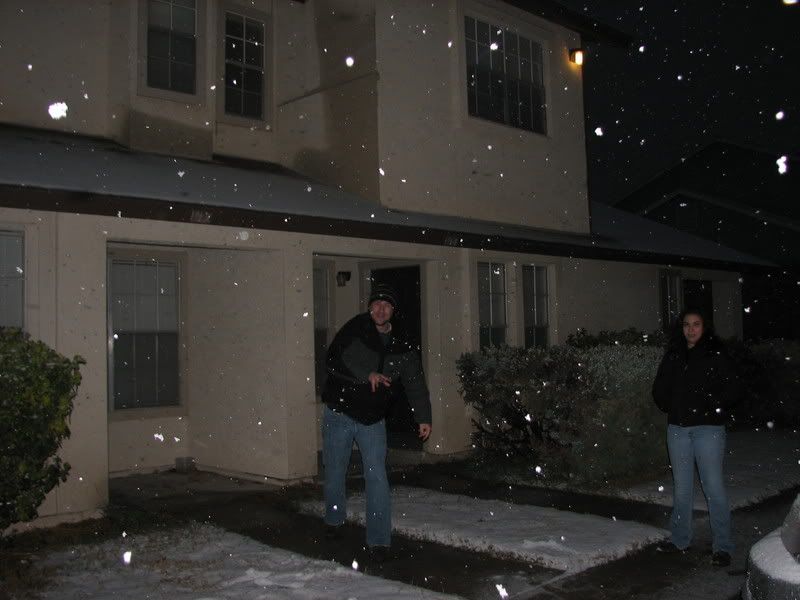
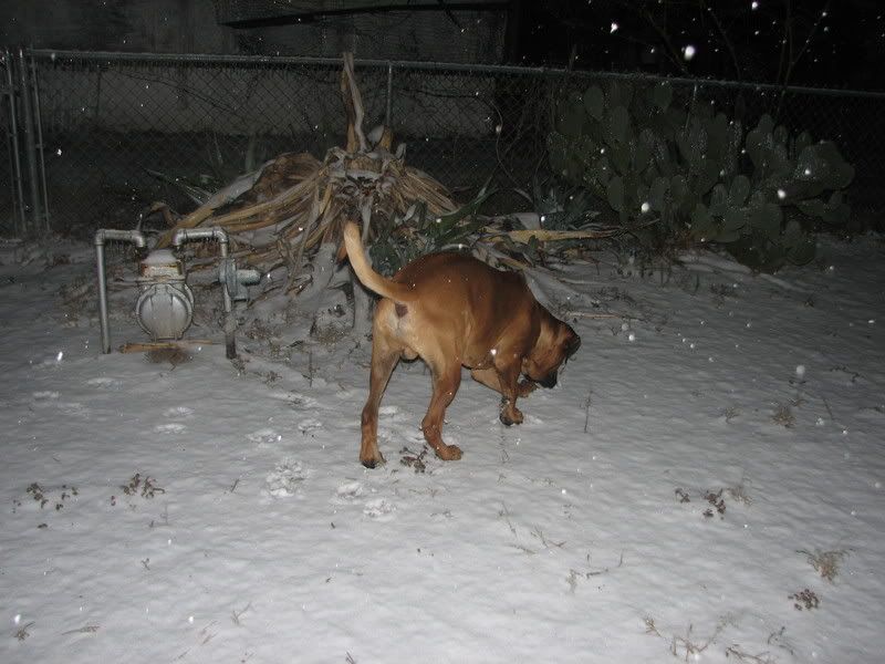
Snow in Houston? Wow.
It's 32° but I still haven't seen a thing, although there have been isolated spots of sleet in the area. The radar keeps looking promising, but it's trying to trick me.
I think the only way I'm gonna see any ice or sleet or anything is if I go outside and throw cubes in the air and let them land on me.
0 likes

-
Yankeegirl

- Category 5
- Posts: 3417
- Age: 50
- Joined: Sun May 23, 2004 11:59 pm
- Location: Cy-Fair, Northwest Houston
- Contact:
-
Extremeweatherguy
- Category 5
- Posts: 11095
- Joined: Mon Oct 10, 2005 8:13 pm
- Location: Florida
same exact conditions here. Rain gauge showing about .05" of ice so far and it keeps falling. No mix here right now also.jeff wrote:Moderate ZR falling at the house.
Ice on everything elevated. Banana tree leaves broken. Estimate .05 of acc. so far. Truck windows iced over. All ZR no mixed anything.
0 likes

a lot of greater Houston about to hit the the freezing mark...Montrose showing 32 out to Stafford.....I am even getting close....next wave of rain should drop me down....
http://www.wunderground.com/stationmaps ... &wmo=99999
http://www.wunderground.com/stationmaps ... &wmo=99999
0 likes
-
Stratosphere747
- Category 5
- Posts: 3772
- Joined: Thu Sep 11, 2003 8:34 pm
- Location: Surfside Beach/Freeport Tx
- Contact:
Everything in my neck of the woods is coated in ice! Just like Jeff and EWG, it's all ZR for now. Seeing that snow in Katy on Channel 2 gives me hope off seeing some flakes though. That was some pretty good snow coming down too.
I submitted my golf cart pictures to channel 2 so hopefully he'll show them on the 10 o'clock news.
Their looks to be some good moderate precip fixing to move into Montgomery County.
http://radar.weather.gov/radar.php?rid= ... 1&loop=yes
I submitted my golf cart pictures to channel 2 so hopefully he'll show them on the 10 o'clock news.
Their looks to be some good moderate precip fixing to move into Montgomery County.
http://radar.weather.gov/radar.php?rid= ... 1&loop=yes
0 likes
-
southerngale
- Retired Staff
- Posts: 27418
- Joined: Thu Oct 10, 2002 1:27 am
- Location: Southeast Texas (Beaumont area)

 my Cowboys
Yes I believe so Rock. All we need is some precip to drop our temps. Still at 35F in League City with dewpoint of 26F. Would not be surprised to see N Brazoria and N Galveston Co added to an advisory.
0 likes
The following post is NOT an official forecast and should not be used as such. It is just the opinion of the poster and may or may not be backed by sound meteorological data. It is NOT endorsed by any professional institution including storm2k.org For Official Information please refer to the NHC and NWS products.
Stratosphere747 wrote:Should be borderline Rock.
A bit surprised that the NWS has not at least put Brazoria and Galveston under a watch...
at least inland watches...but your right gonna be close....not much room left for evap cooling according to the obs down here. Will know more when next wave moves in.
0 likes
From kxan.com
The City of Austin and TxDOT have decided to close the upper decks of i-35 in both directions.
Officials have also closed the following exchanges: I-35 and 183 north, I-35 and 290 north, Ben White and I-35 southbound, MoPac south and 290 west.
The only one that will remain open is MoPac and 183.
0 likes


-
Extremeweatherguy
- Category 5
- Posts: 11095
- Joined: Mon Oct 10, 2005 8:13 pm
- Location: Florida
This frz. rain is just not letting up and there looks to be no end in sight! Even some bright yellow returns on radar (likely sleet) to our west right now...
http://radar.weather.gov/radar.php?rid= ... 11&loop=no
http://radar.weather.gov/radar.php?rid= ... 11&loop=no
0 likes

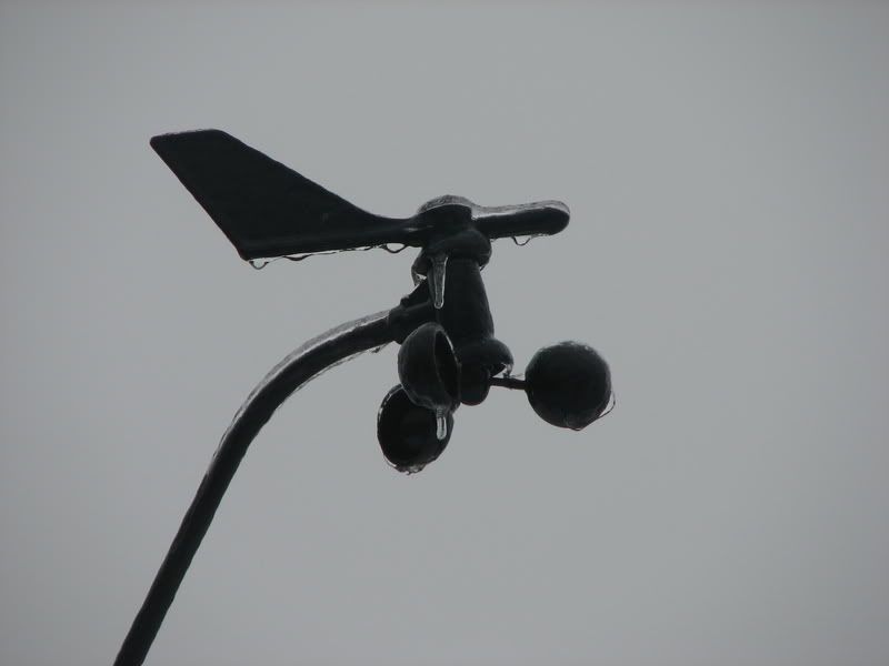
Much anticipated and very well advertised icing event finally in progress.
Freezing rain and glazing ongoing across much of SE TX including Harris Co.
Got a highly excited phone call of snow along I-10 west. I suppose evap. cooling may be mixing in some snow...but main P-type should be ZR (freezing rain). Snow also being reported up north around CLL and Huntsville mixing in with the ZR.
Moderate freezing rain falling here at the house in Spring with all elevated objects glazed. Acc so far about .05 of an inch with air temp of 30.0.
Numerous reports of glazing on elevated surfaces N of I-10 including bridges and overpasses.
Freezing line is moving southward with cold air advection and evap. cooling with temps now freezing at Sugarland, IAH, and Tomball.
Per radar trends freezing rain continues to develop and head for the region so icing will continue for much of the night.
Travel especially on bridges and overpasses will become difficult.
Road conditions:
Ice is reported on several bridge sin Montgomery County including: Loop 242 and FM 1097 as well as I-45.
Ice is reported on US 290 in Waller County.
0 likes
Who is online
Users browsing this forum: No registered users and 132 guests