I've just decided to post this thread due to the emerging potential for a severe weather event today and tomorrow for the Southeast. A mid-level low with a surface feature and trough axis is centered over Louisiana and Mississippi. A developing surface front is within the vicinity extending southwest into the Gulf of Mexico with a shortwave signature. Upper-level dynamics look good for isolation and development of severe thunderstorm cells as the low moves eastward into Alabama and Georgia. The synoptics also indicate the potential for locally heavy precipitation. The threat today will be in the Florida Panhandle and into Georgia and eastern and central Alabama due to the best dynamics and instability within this region. The surface ridging over the Florida peninsula should shift eastward today, allowing conditions to uncap and permit convergence into the developing pre-frontal surface trough, allowing the potential development of a partial squall line. Due to the lack of Gulf moisture tap, the threat may be isolated but the coverage may be extensive.
 Water vapor loop
Visible loop
Tallahassee NWS radar
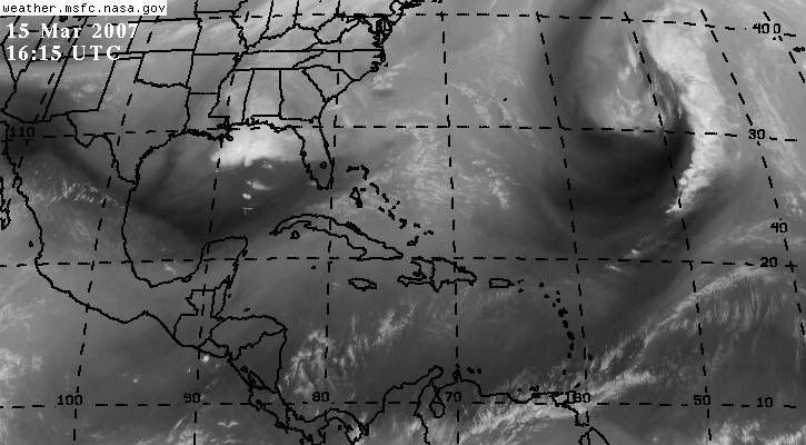
Infra-red imagery
Water vapor imagery
Water vapor loop
Visible loop
Tallahassee NWS radar
Infra-red imagery
Water vapor imagery
Does anyone else agree with the potential?
The latest Tallahassee NWS
discussion mentions the potential but expects the severe threat to remain isolated. I tend to agree with this premise but the potential still exists, especially with the tightening pressure gradient and surface warm front ahead of the low aiding in advection. This is a good discussion by Tallahassee's office.


