It was really nice to get out again so early this year! we left Blaine, MN around 11, got to Owatonna (my original target) around 12:30, sat around there, got some data, had a bite to eat. Followed Eric Whitehill south to Albert Lea. Sat around the gas station down there for a while, watched a couple different areas of CU, saw the Faribault storm go up. Finally decided to chase it after realizing that the trend for the IA/MN border area wasnt good, Booked it up to Owatonna, got off 35, took some back roads. Followed Bill Doms, Peggy Willinberg, Eric Whitehill and his wife, Andy Revering, and Tony Perkins. Bill and Peggy got off the highway in a different spot than us, the rest of us booked it east and north on the pitiful road networks in Rice/Steele county (never realized how hard it is to chase a storm that is moving northeast at 50 mph :shock: ). Finally caught up to. From about 4:30-6:15 we didnt have radar because we thought we had lost our connection, turns out it was just MPX being bastards and doing radar maintenance during an event, we could've just as easily have used La Crosse radar if we had known. Got into Goodhue county, tried following it, end up calling it a day just west of Red Wing as we really didnt want to chase a weakening storm in to WI. All in all, it was cool to meet some new people, especially some of the more experienced chasers. Felt good to get out again so early as well, and atleast it wasnt a clear sky bust for us. 3 counties (Rice, Steele, Goohue), no tornadoes, no hail, howling wind (probably 25+ sustained surface winds before initiation), 1 tornado watch, 2 severe thunderstorm warnings, not sure how many miles. Pics
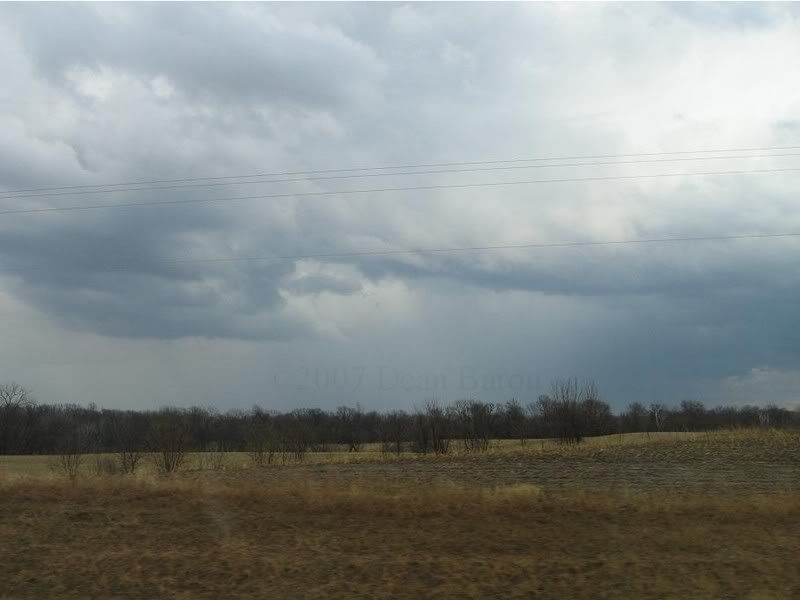
Cu Field to our west on our way to the Faribault storm

Rain foot as we are briefly ahead of the storm:
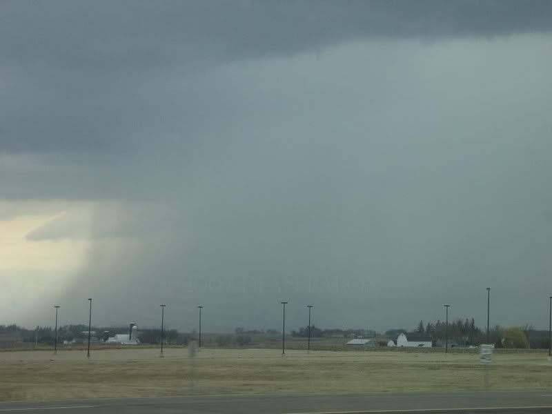
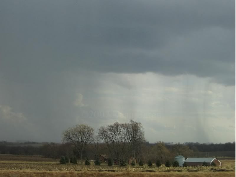
Precip area as the storm races past us and makes us wonder how the hell we got so far behind it so quick:
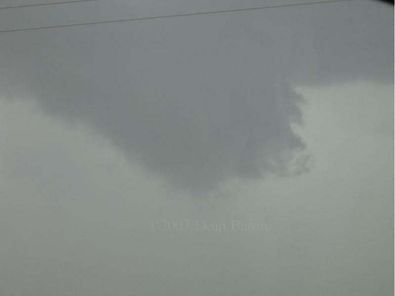
Wall cloud and maybe a funnel? i doubt a funnel, but has the look of one. before everything becomes rain-wrapped:
Rainbow in i think Goodhue county:

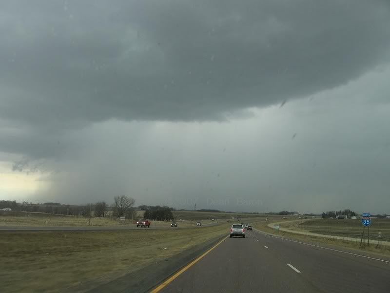
Precip area of a storm to our south:
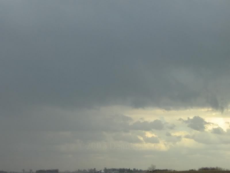
Maybe a very weak wall cloud west of Wanamingo:
Back of the storms just west of Red Wing when we gave up on it: