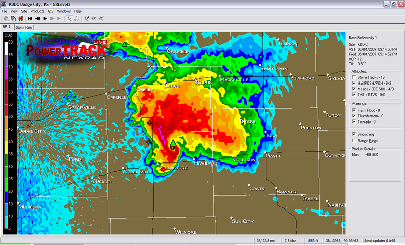
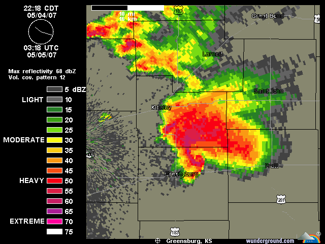
CrazyC83 wrote:Sounds like an EF5 potentially.
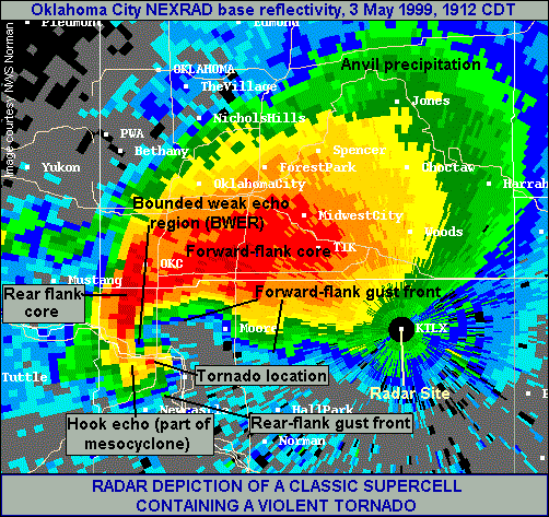
Last F5 was on May 3rd 1999. We might end that streak tonight.
Moderator: S2k Moderators


Return to “USA & Caribbean Weather”
Users browsing this forum: AnnularCane and 75 guests