CronkPSU wrote:jaxfladude wrote:cycloneye wrote:
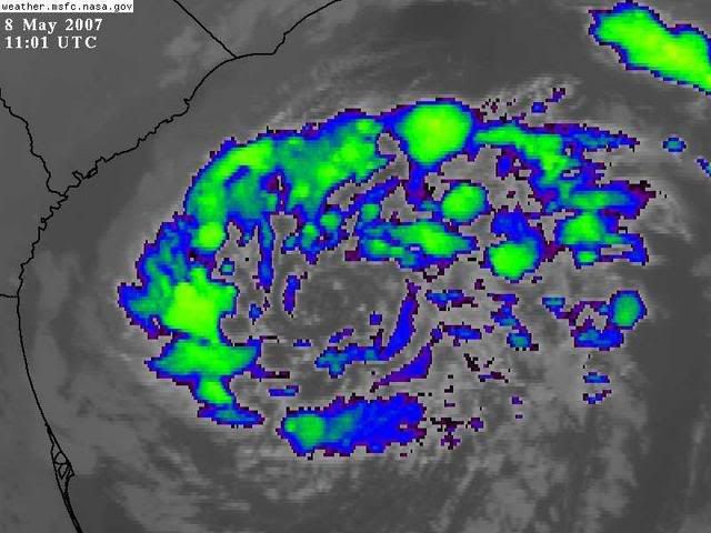
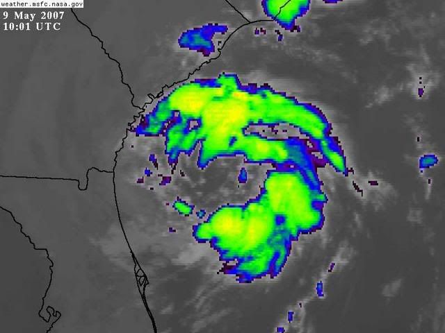
Convection is lacking near the center.If this thing is going to become Andrea,convection has to build near the center,and time is running out.
More Convection Please!!!!!
I would be very worried if this were Mid Aug. to Early Oct.
wow, did you see that southward job on that last frame, it's headed straight for Jacksonville!!!
just kidding
sorry I couldn't resist

NO! I tell you im looking at the visible and it was a WOBBLE!.

Ha those days are coming. But this statement from TWC is strange.
"What began as a mid-latitude or extratropical low pressure system has transitioned to what is known as a subtropical storm."
http://www.weather.com/newscenter/tropi ... enter_news
Theyv'e been saying it IS a SubTropical Storm. Therefore it would have a name correct? Are they trying to hype or is this the case? I assume NHC would not give this a name enless they verify it has more tropical characteristics? Or Waited on recon for strength?