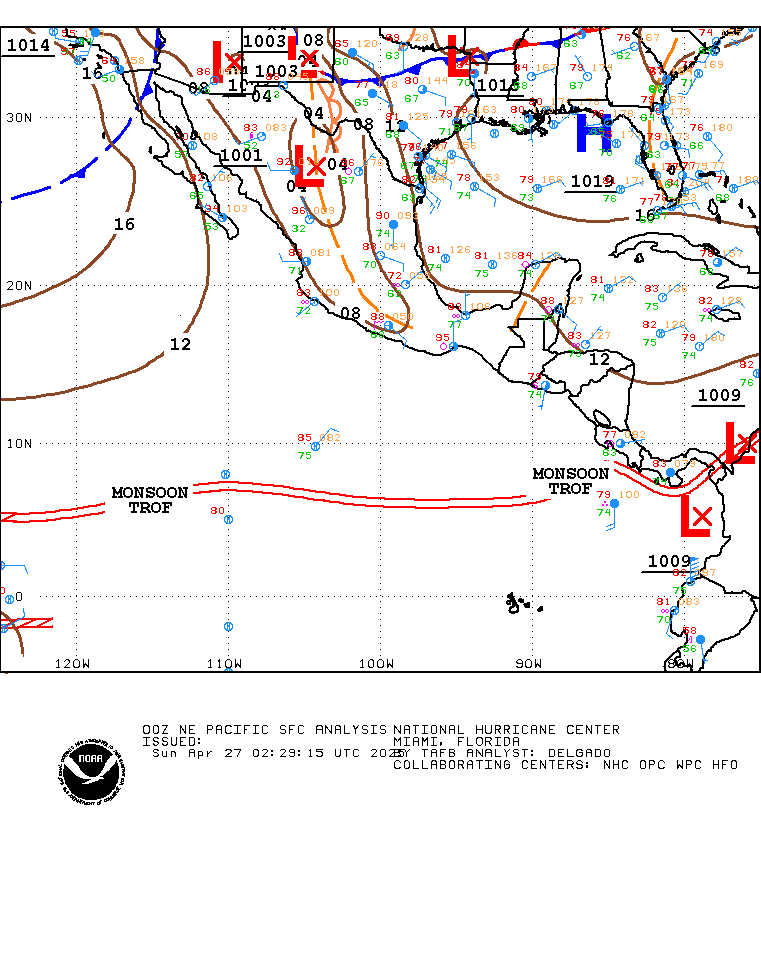
Well anyway.. Im just looking around .. and noticed something interesting in the east pac that would normally not interest me.. but it has a good amount of Circ... both in the low and mid levels... surface obs indicate a low moved ashore in the gulf of TEHUANTEPEC. from the looks of the satellite it was well on its way to possibly being a TC if it were not for its proximity to land.. but the interesting thing is its a tropical wave with a well defined circ and its moving mostly North.. I know its a long shot ( but it has happend before) .. but it may be possible to get enough of that system in the SW gulf for us to possibly get something to watch ... the steering flow sugests that it should continue to move north to NNW ... some of the wave already is in the Bay of campeche.. surface pressure across the bay of campeche are not high.. so wonder if it could ..
its just a though since we have nothing else to watch... i guess its possible
 http://www.ssd.noaa.gov/goes/east/watl/loop-rgb.html
THE NORTHERN EXTENSION OF AN EAST PACIFIC TROPICAL WAVE ALONG
96W IS OVER THE EXTREME SOUTHERN BAY OF CAMPECHE AND WAS
TRIGGERING SCATTERED SHOWER AND ISOLATED THUNDERSTORM ACTIVITY
OVER THE BAY OF CAMPECHE. THE PORTION OF THE WAVE WHICH EXTENDED
INTO THE EAST PACIFIC WAS MORE ACTIVE WITH WELL DEFINED TURNING
IN THE LOW AND MID LEVEL CLOUDS JUST TO THE SOUTHWEST OF THE
GULF OF TEHUANTEPEC.

you may also want to use this loop
http://weather.msfc.nasa.gov/GOES/goeseastconus.html


