Latest sat pic....looking always good with some tunrning and slight popping trend in terms of tstorm activity and... it has not emerges entirely:roll:
 http://www.ssd.noaa.gov/met8/eatl/ir4.jpg
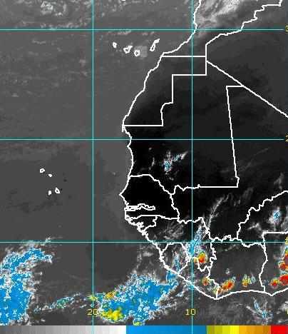
Hey note that the dry air has gone...only very very light pocket of dust can be seen but for the end of the week end we can except a clear atmosphere without any dust

*
http://cimss.ssec.wisc.edu/tropic/real- ... split.htmlShear tendency is very low and continuing on the entire Atlantic Bassin
http://cimss.ssec.wisc.edu/tropic/real- ... m7sht.htmlThis morning i was reading the discussion of Puerto Rico and it seems that models tendency is confirmed and concerning the future path we could see some changes with this ...if it verifies it could be the firt system at 15 North or higer as the upper pattern will be a little different

if if if this happens too

We have to wait and see!
"MID ATLC UPPER TROF FORECAST TO SHIFT SW AND EXTEND
INTO LOCAL AREA THROUGHOUT MUCH OF THE UPCOMING WEEK AND AFFECT
THE STEERING FLOW ACROSS THE REGION TO DRAW APPROACHING TROPICAL
WAVES IN A MORE WNW TO NW TRAJECTORY AS THEY MOVE FROM CENTRAL
ATLC TOWARDS THE E/NE CARIB...INDICATING A CHANGE FROM RECENT
PATTERN THAT FORCED DEAN AND FELIX ALMOST DUE W. GLOBAL MODELS
SEEM TO SUGGEST SOME POTENTIAL FOR TROPICAL DEVELOPMENT OF
TROPICAL WAVE CURRENTLY EXITING THE W AFRICAN COAST...BUT THIS
FORECAST STEERING FLOW...IF CORRECT...WOULD TAKE THIS SYSTEM W
THEN NW AND INTO W CENTRAL ATLC. HOWEVER...TIS THE PEAK OF THE
SEASON...SO EVERY TROPICAL WAVE BEARS WATCHING FOR THE LOCAL
REGION...REGARDLESS OF INITIAL MODEL IMPRESSIONS"...


Interressing things down the road:spam:


