Tropical Wave East of Lesser Antilles

This is the general tropical discussion area. Anyone can take their shot at predicting a storms path.

Moderator: S2k Moderators

Forum rules

The posts in this forum are NOT official forecasts and should not be used as such. They are just the opinion of the poster and may or may not be backed by sound meteorological data. They are NOT endorsed by any professional institution or STORM2K. For official information, please refer to products from the National Hurricane Center and National Weather Service.

Help Support Storm2K
Message
Author
CrazyC83
Professional-Met
Professional-Met
Posts: 34005
Joined: Tue Mar 07, 2006 11:57 pm
Location: Deep South, for the first time!

Re: Tropical Wave in East Atlantic

#21 Postby CrazyC83 » Fri Sep 14, 2007 7:39 pm

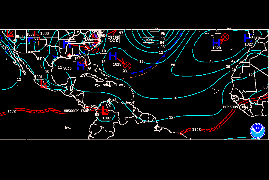
cycloneye wrote:TROPICAL WAVE IS ALONG 29W S OF MOVING W 10-15 KT. A 1008 MB
LOW IS ANALYZED ALONG THE WAVE AXIS NEAR 10N. THE UW-CIMSS TPW
ANIMATION SHOWS A WELL DEFINED WIDE MOISTURE PLUME ASSOCIATED
WITH THIS WAVE...MAKING IT EASY TO TRACK. A CURVED BAND OF
SCATTERED MODERATE TO ISOLATED STRONG CONVECTION IS OVER THE NW
QUADRANT ALONG 15N28W 14N31W 11N34W. ISOLATED MODERATE
CONVECTION IS FURTHER S ALONG THE ITCZ AXIS FROM 2N-5N BETWEEN
23W-33W.


Hmm,now that low is down to 1008 mbs.


They should be calling this an Invest at this rate...
0 likes   

User avatar
cycloneye
Admin
Admin
Posts: 145862
Age: 69
Joined: Thu Oct 10, 2002 10:54 am
Location: San Juan, Puerto Rico

Re: Tropical Wave in East Atlantic

#22 Postby cycloneye » Fri Sep 14, 2007 7:56 pm

Image
0 likes   

User avatar
HurricaneMaster_PR
Category 2
Category 2
Posts: 795
Joined: Tue Jul 22, 2003 6:23 pm
Location: San Juan, Puerto Rico

Re: Tropical Wave in East Atlantic

#23 Postby HurricaneMaster_PR » Fri Sep 14, 2007 8:21 pm

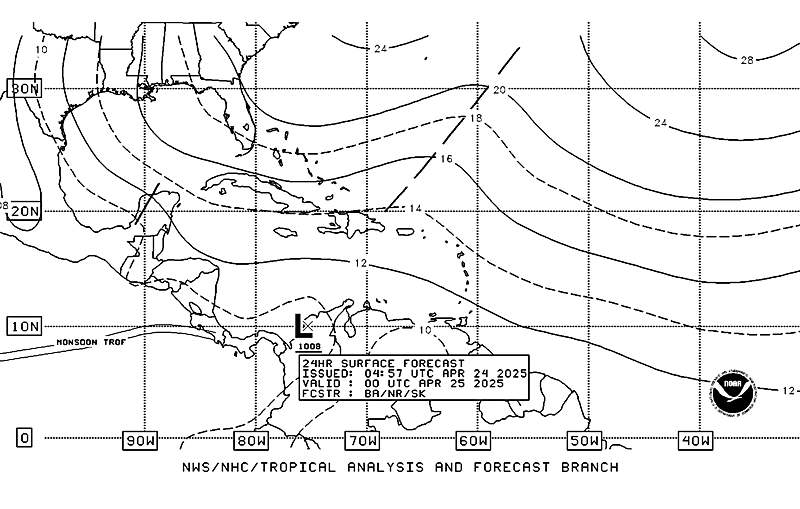
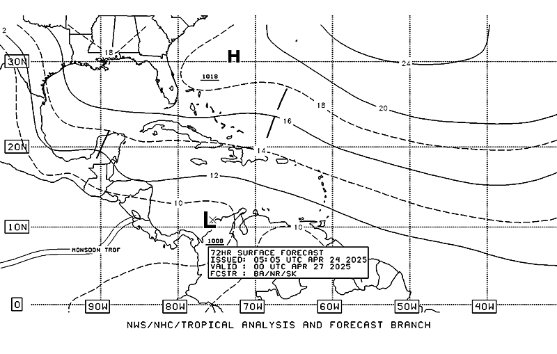
TAFB Surface Forecast

24 hours

Image

72 hours

Image
0 likes   

User avatar
HURAKAN
Professional-Met
Professional-Met
Posts: 46086
Age: 38
Joined: Thu May 20, 2004 4:34 pm
Location: Key West, FL
Contact:

#24 Postby HURAKAN » Fri Sep 14, 2007 8:47 pm

Image
0 likes   

Brent
S2K Supporter
S2K Supporter
Posts: 38105
Age: 37
Joined: Sun May 16, 2004 10:30 pm
Location: Tulsa Oklahoma
Contact:

Re: Tropical Wave in East Atlantic

#25 Postby Brent » Fri Sep 14, 2007 9:40 pm

721
ABNT20 KNHC 150229
TWOAT
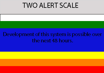
TROPICAL WEATHER OUTLOOK
NWS TPC/NATIONAL HURRICANE CENTER MIAMI FL
1030 PM EDT FRI SEP 14 2007

FOR THE NORTH ATLANTIC...CARIBBEAN SEA AND THE GULF OF MEXICO...

THE NATIONAL HURRICANE CENTER IS ISSUING ADVISORIES ON TROPICAL
STORM INGRID CENTERED ABOUT 655 MILES EAST OF THE LESSER ANTILLES.

SHOWER ACTIVITY HAS INCREASED THIS EVENING IN ASSOCIATION WITH A
TROPICAL WAVE LOCATED SEVERAL HUNDRED MILES SOUTHWEST OF THE CAPE
VERDE ISLANDS. SOME SLOW DEVELOPMENT OF THIS SYSTEMS IS POSSIBLE
OVER THE NEXT COUPLE OF DAYS AS IT MOVES WESTWARD ABOUT 10 TO 15
MPH.


ELSEWHERE...TROPICAL CYCLONE FORMATION IS NOT EXPECTED DURING THE
NEXT 48 HOURS.

$$

FORECASTER BEVEN/BLAKE
0 likes   

User avatar
cycloneye
Admin
Admin
Posts: 145862
Age: 69
Joined: Thu Oct 10, 2002 10:54 am
Location: San Juan, Puerto Rico

Re: Tropical Wave in East Atlantic=10:30 PM TWO Posted at page 2

#26 Postby cycloneye » Fri Sep 14, 2007 10:00 pm

Invest 92L around the corner it seems.
0 likes   

JonathanBelles
Professional-Met
Professional-Met
Posts: 11430
Age: 35
Joined: Sat Dec 24, 2005 9:00 pm
Location: School: Florida State University (Tallahassee, FL) Home: St. Petersburg, Florida
Contact:

Re: Tropical Wave in East Atlantic=10:30 PM TWO Posted at page 2

#27 Postby JonathanBelles » Fri Sep 14, 2007 10:01 pm

cycloneye wrote:Invest 92L around the corner it seems.


93L
0 likes   

User avatar
cycloneye
Admin
Admin
Posts: 145862
Age: 69
Joined: Thu Oct 10, 2002 10:54 am
Location: San Juan, Puerto Rico

Re: Tropical Wave in East Atlantic=10:30 PM TWO Posted at page 2

#28 Postby cycloneye » Fri Sep 14, 2007 10:02 pm

fact789 wrote:
cycloneye wrote:Invest 92L around the corner it seems.


93L


Oh that one that came close to me but blew away.Yes 93L. :)
0 likes   

RL3AO
Moderator-Pro Met
Moderator-Pro Met
Posts: 16308
Joined: Thu Jun 14, 2007 10:03 pm
Location: NC

#29 Postby RL3AO » Fri Sep 14, 2007 10:03 pm

Image
0 likes   

User avatar
HURAKAN
Professional-Met
Professional-Met
Posts: 46086
Age: 38
Joined: Thu May 20, 2004 4:34 pm
Location: Key West, FL
Contact:

#30 Postby HURAKAN » Fri Sep 14, 2007 10:16 pm

Image

Convection is increasing going into DMAX. Tomorrow should be interesting.
0 likes   

User avatar
HURAKAN
Professional-Met
Professional-Met
Posts: 46086
Age: 38
Joined: Thu May 20, 2004 4:34 pm
Location: Key West, FL
Contact:

#31 Postby HURAKAN » Fri Sep 14, 2007 10:32 pm

0915 00Z

Image
0 likes   

User avatar
cycloneye
Admin
Admin
Posts: 145862
Age: 69
Joined: Thu Oct 10, 2002 10:54 am
Location: San Juan, Puerto Rico

Re: Tropical Wave with low in Eastern Atlantic

#32 Postby cycloneye » Fri Sep 14, 2007 10:36 pm

The question is if this develops,how the enviromental conditions be,as we know how Ingrid is barely hanging in with the strong shear.
0 likes   

User avatar
punkyg
Category 2
Category 2
Posts: 770
Joined: Mon Apr 23, 2007 7:37 pm
Location: sanford florida

#33 Postby punkyg » Fri Sep 14, 2007 10:39 pm

Image
So which are are you guys looking at?
or are both areas just one system.
0 likes   

Brent
S2K Supporter
S2K Supporter
Posts: 38105
Age: 37
Joined: Sun May 16, 2004 10:30 pm
Location: Tulsa Oklahoma
Contact:

Re:

#34 Postby Brent » Fri Sep 14, 2007 10:45 pm

punkyg wrote:Image
So which are are you guys looking at?
or are both areas just one system.


The one further south. I think they are separate.
0 likes   

User avatar
Fego
S2K Supporter
S2K Supporter
Posts: 767
Age: 65
Joined: Sun Apr 18, 2004 7:58 pm
Location: San Juan, Puerto Rico
Contact:

Re: Tropical Wave with low in Eastern Atlantic

#35 Postby Fego » Fri Sep 14, 2007 11:40 pm

:double: I think it is the one at the upper right, near CV... but not so much sure...
0 likes   

User avatar
HurricaneMaster_PR
Category 2
Category 2
Posts: 795
Joined: Tue Jul 22, 2003 6:23 pm
Location: San Juan, Puerto Rico

Re: Tropical Wave with low in Eastern Atlantic

#36 Postby HurricaneMaster_PR » Fri Sep 14, 2007 11:55 pm

Here's the system the NHC is talking about, the one closer to the Cape Verde Is. near 12N 33W

Image
0 likes   

User avatar
KWT
Category 5
Category 5
Posts: 31415
Joined: Tue Aug 17, 2004 11:02 am
Location: UK!!!

#37 Postby KWT » Sat Sep 15, 2007 2:56 am

I think the area to the SW of the low that they are watching does also look interesting though right now it is just an area of convection and nothing more and so could go poof. Still this area does need watching as we are in the cape verde season however it is fairly north already and may well try and follow Ingrid.
0 likes   

User avatar
cycloneye
Admin
Admin
Posts: 145862
Age: 69
Joined: Thu Oct 10, 2002 10:54 am
Location: San Juan, Puerto Rico

Re: Tropical Wave with low in Eastern Atlantic

#38 Postby cycloneye » Sat Sep 15, 2007 5:12 am

000
ABNT20 KNHC 150912
TWOAT
TROPICAL WEATHER OUTLOOK
NWS TPC/NATIONAL HURRICANE CENTER MIAMI FL
530 AM EDT SAT SEP 15 2007

FOR THE NORTH ATLANTIC...CARIBBEAN SEA AND THE GULF OF MEXICO...

THE NATIONAL HURRICANE CENTER IS ISSUING ADVISORIES ON TROPICAL
STORM INGRID CENTERED ABOUT 575 MILES EAST OF THE LESSER ANTILLES.

SHOWER AND THUNDERSTORM ACTIVITY...ASSOCIATED WITH A TROPICAL
WAVE...IS LOCATED SEVERAL HUNDRED MILES SOUTHWEST OF THE CAPE VERDE
ISLANDS. SOME SLOW DEVELOPMENT OF THIS SYSTEMS IS POSSIBLE OVER
THE NEXT COUPLE OF DAYS AS IT MOVES WESTWARD ABOUT 10 TO 15 MPH.

ELSEWHERE...TROPICAL CYCLONE FORMATION IS NOT EXPECTED DURING THE
NEXT 48 HOURS.

$$

FORECASTER MAINELLI
0 likes   

User avatar
cycloneye
Admin
Admin
Posts: 145862
Age: 69
Joined: Thu Oct 10, 2002 10:54 am
Location: San Juan, Puerto Rico

Re: Tropical Wave with low in Eastern Atlantic

#39 Postby cycloneye » Sat Sep 15, 2007 5:16 am

Image

Image
0 likes   

User avatar
HURAKAN
Professional-Met
Professional-Met
Posts: 46086
Age: 38
Joined: Thu May 20, 2004 4:34 pm
Location: Key West, FL
Contact:

Re: Strong Tropical Wave with low in Eastern Atlantic

#40 Postby HURAKAN » Sat Sep 15, 2007 5:57 am

Image

Image

06Z
Image

It seems that according to the NHC the LLC is gone.
0 likes   


Return to “Talkin' Tropics”

Who is online

Users browsing this forum: Bing [Bot], caneman, Cpv17, riapal and 34 guests