
storms in NC wrote:I think this will build into a bigger storm than they say. The gulf it very warm and this Low has that look already. So La should start watching this now. Not to wait till someone has to tell them when to leave. Get stuck in a line of traffic. If some need a way out start planing now not a day away. I would hate a repeat of Katrina. Not good.
Why do you think this will be the case and what do you mean by "bigger"?
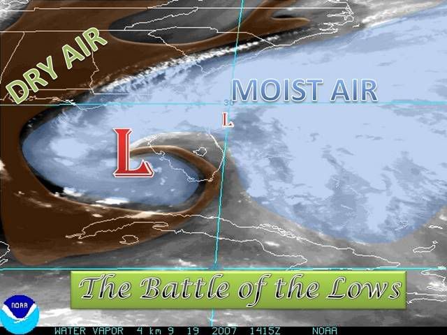
The upper low looks bigger right now.


