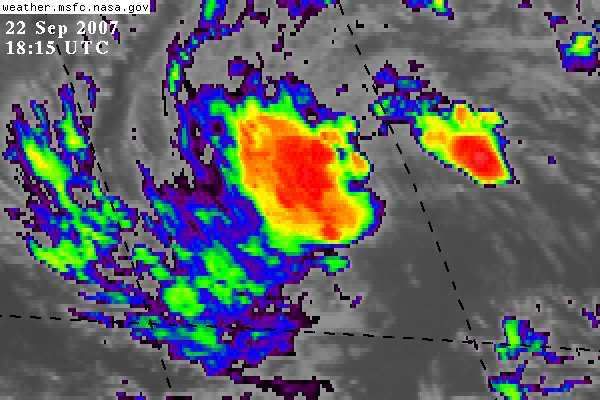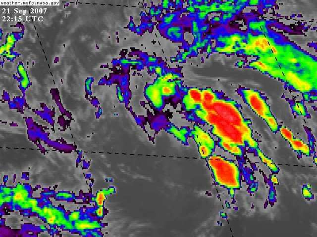
Very intense convection.
Moderator: S2k Moderators


cycloneye wrote:This should haved been a invest a couple of days ago.But still not one?


Users browsing this forum: No registered users and 105 guests


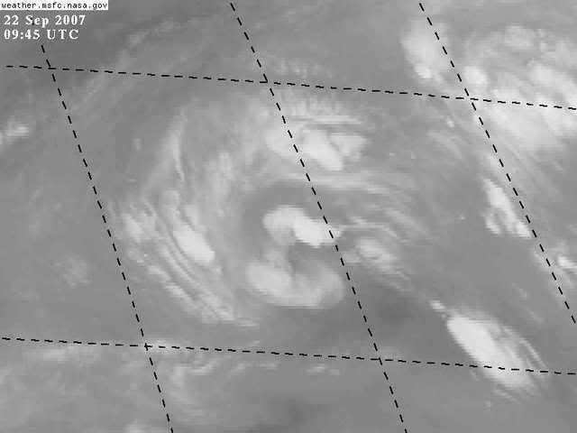
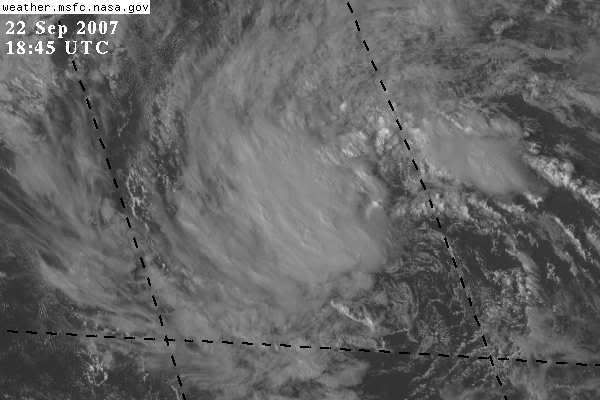
 New pic.
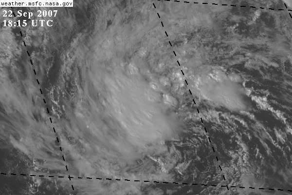