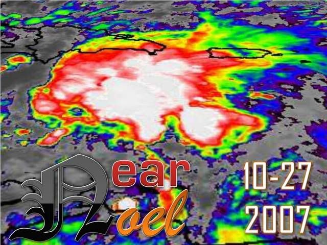
Hurricane NOEL : Discussions & Images
Moderator: S2k Moderators
- cycloneye
- Admin

- Posts: 149585
- Age: 69
- Joined: Thu Oct 10, 2002 10:54 am
- Location: San Juan, Puerto Rico
Re: INVEST 90L in Central Caribbean : Discussions & Images
That means,weaker cyclone more west,stronger cyclone,out to sea after it crosses Cuba and Bahamas.
0 likes
-
Derek Ortt
- cycloneye
- Admin

- Posts: 149585
- Age: 69
- Joined: Thu Oct 10, 2002 10:54 am
- Location: San Juan, Puerto Rico
Re: INVEST 90L in Central Caribbean : Discussions & Images
Ok,thanks for the clarification on that.
0 likes
-
Derek Ortt
-
Rainband
Re: INVEST 90L in Central Caribbean : Discussions & Images
The trend/direction of the models have moved east since the start.Derek Ortt wrote:the trend has not been east
It's been divergence and a stronger TC
0 likes
- dixiebreeze
- S2K Supporter

- Posts: 5140
- Joined: Wed Sep 03, 2003 5:07 pm
- Location: crystal river, fla.
Re: INVEST 90L in Central Caribbean : Discussions & Images
might want to change the name of the thread to 16L
0 likes
- cycloneye
- Admin

- Posts: 149585
- Age: 69
- Joined: Thu Oct 10, 2002 10:54 am
- Location: San Juan, Puerto Rico
Re: INVEST 90L in Central Caribbean : Discussions & Images
dixiebreeze wrote:might want to change the name of the thread to 16L
I will do it as soon the first advisory is released.
0 likes
- wxman57
- Moderator-Pro Met

- Posts: 23175
- Age: 68
- Joined: Sat Jun 21, 2003 8:06 pm
- Location: Houston, TX (southwest)
Re: INVEST 90L in Central Caribbean : Discussions & Images
Great, now I get to wake up at 3am to put out the next advisory. Good bluff by the NHC at 5pm indicating they wouldn't upgrade tonight.
0 likes
-
NcentralFlaguy
- Tropical Storm

- Posts: 136
- Joined: Sun Jun 17, 2007 9:36 am
Re: INVEST 90L Models Thread
Im not sure the "trends" are important at the moment . This system continues to move just north of west, I am sure that will have an affect on the models tomorrow. Nearly all the models have the system moving a little farther north at this time, and that simply is not materializing as of yet.
0 likes
Re: INVEST 90L in Central Caribbean : Discussions & Images
Hey this wasn't supposed to spin up till Sunday.
0 likes
-
tolakram
- Admin

- Posts: 20186
- Age: 62
- Joined: Sun Aug 27, 2006 8:23 pm
- Location: Florence, KY (name is Mark)
Re: INVEST 90L in Central Caribbean : Discussions & Images
I must not be able to read shear maps. Is the mid level shear more important than the high level shear? Do the current maps make any sense?
http://cimss.ssec.wisc.edu/tropic/real- ... g8sht.html
http://cimss.ssec.wisc.edu/tropic/real- ... g8sht.html
0 likes
- Blown Away
- S2K Supporter

- Posts: 10253
- Joined: Wed May 26, 2004 6:17 am
Re: INVEST 90L in Central Caribbean : Discussions & Images
Will SFL be in the 5 day cone at 11pm?? I think the initial track will be further W than we think, IMO.
0 likes
Who is online
Users browsing this forum: No registered users and 46 guests


