Very interresting ITCZ activity east of 35w

This is the general tropical discussion area. Anyone can take their shot at predicting a storms path.

Moderator: S2k Moderators

Forum rules

The posts in this forum are NOT official forecasts and should not be used as such. They are just the opinion of the poster and may or may not be backed by sound meteorological data. They are NOT endorsed by any professional institution or STORM2K. For official information, please refer to products from the National Hurricane Center and National Weather Service.

Help Support Storm2K
Message
Author
User avatar
Gustywind
Category 5
Category 5
Posts: 12334
Joined: Mon Sep 03, 2007 7:29 am
Location: Baie-Mahault, GUADELOUPE

Very interresting ITCZ activity east of 35w

#1 Postby Gustywind » Sun Nov 11, 2007 8:00 pm

Only to say that ( I hope ) my little trained eyes are seeing a very nice ITCZ activity east of 35 West. I'm not speculating on this in any case ...just an observation given the sat pics and by the TWD 705PM. 8-) :) :darrow:
TROPICAL WEATHER DISCUSSION
NWS TPC/NATIONAL HURRICANE CENTER MIAMI FL
705 PM EST SUN NOV 11 2007

TROPICAL WEATHER DISCUSSION FOR NORTH AMERICA...CENTRAL
AMERICA...THE GULF OF MEXICO...THE CARIBBEAN SEA...NORTHERN
SECTIONS OF SOUTH AMERICA...AND THE ATLANTIC OCEAN TO THE
AFRICAN COAST FROM THE EQUATOR TO 32N. THE FOLLOWING INFORMATION
IS BASED ON SATELLITE IMAGERY...METEOROLOGICAL ANALYSIS...
WEATHER OBSERVATIONS...AND RADAR.

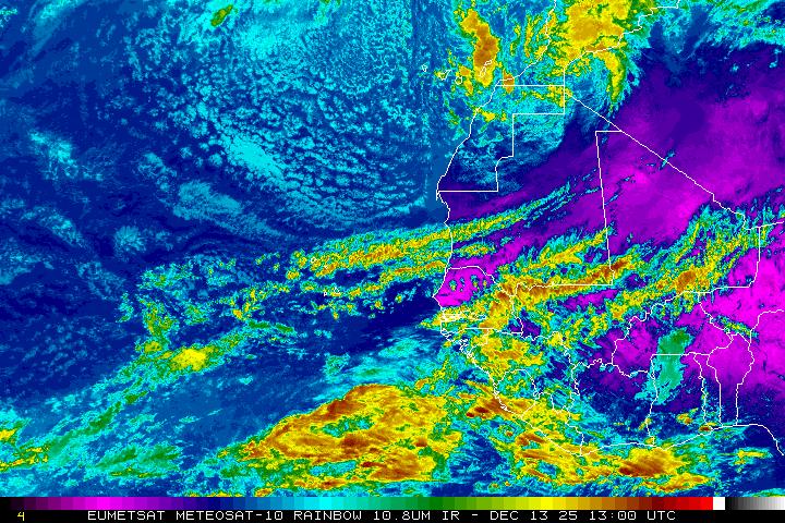
BASED ON 1800 UTC SURFACE ANALYSIS AND SATELLITE IMAGERY THROUGH
2315 UTC.
...THE ITCZ...
THE ITCZ IS PRETTY ACTIVE E OF 35W. THE AXIS IS CENTERED ALONG 10N13W 7N20W 8N30W 5N52W. SCATTERED MODERATE/STRONG CONVECTION COVERS THE AREA FROM 3N-9N BETWEEN 14W-23W. WIDELY SCATTERED
MODERATE CONVECTION IS FROM 1N-9N BETWEEN 23W-35W. IT APPEARS THAT A WEAK SURFACE TROUGH OR TROPICAL WAVE MAY BE RESPONSIBLE
FOR THE CONVECTION NEAR 30W. FUTURE MONITORING IS REQUIRED.
maybe something to watch that's the 10000$ question: 8-) :darrow: :ggreen:
http://www.nrlmry.navy.mil/sat-bin/disp ... C_SCALE=15
:rarrow: http://www.ssd.noaa.gov/eumet/eatl/rb.jpg
http://www.ssd.noaa.gov/eumet/eatl/wv.jpg
0 likes   

Cyclone1
Category 5
Category 5
Posts: 2739
Age: 33
Joined: Tue Jun 12, 2007 12:03 pm
Location: Florida

#2 Postby Cyclone1 » Sun Nov 11, 2007 8:11 pm

Interesting, indeed.

Chances are low, but we need something to track that won't cause us to rip out our hair out of name confusion.

06B has driven me to the edge.
0 likes   

User avatar
Gustywind
Category 5
Category 5
Posts: 12334
Joined: Mon Sep 03, 2007 7:29 am
Location: Baie-Mahault, GUADELOUPE

Re:

#3 Postby Gustywind » Sun Nov 11, 2007 8:36 pm

Cyclone1 wrote:Interesting, indeed.

Chances are low, but we need something to track that won't cause us to rip out our hair out of name confusion.

06B has driven me to the edge.


Absolutely :lol: well resumed :wink: to early to say if there's or not we watch "this suspect area"" in case of " :) 8-)
0 likes   

User avatar
Gustywind
Category 5
Category 5
Posts: 12334
Joined: Mon Sep 03, 2007 7:29 am
Location: Baie-Mahault, GUADELOUPE

#4 Postby Gustywind » Mon Nov 12, 2007 8:21 am

Activity has somewhat diminished 8-) ...
0 likes   

User avatar
Gustywind
Category 5
Category 5
Posts: 12334
Joined: Mon Sep 03, 2007 7:29 am
Location: Baie-Mahault, GUADELOUPE

#5 Postby Gustywind » Mon Nov 12, 2007 8:24 am

...THE ITCZ...
ITCZ AXIS IS CENTERED ALONG 10N14W 8N22W 8N38W 7N52W 7N60W.
CLUSTERS OF SCATTERED MODERATE/ISOLATED STRONG CONVECTION COVERS THE AREA FROM 2N-11N BETWEEN 11W-28W AND WITHIN90/120 OT HE ITCZ AXIS FROM 37W-45W. 8-) :wink:
0 likes   

Sanibel
Category 5
Category 5
Posts: 10375
Joined: Mon Aug 30, 2004 11:06 pm
Location: Offshore SW Florida

Re: Very interresting ITCZ activity east of 35w

#6 Postby Sanibel » Mon Nov 12, 2007 10:34 am

CV weak wave in late season. Area not supportive this late in season.
0 likes   


Return to “Talkin' Tropics”

Who is online

Users browsing this forum: Ulf, weatherSnoop and 33 guests