

RL3AO wrote:I'm still not convinced there is a closed, low level circulation. Unless I am missing something (feel free to prove me wrong, I've been gone all day).
NHC confirmed one exists in the 11AM special tropical disturbance statement:
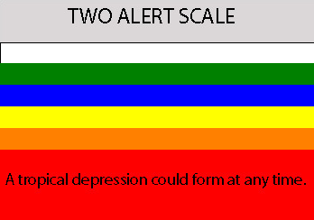
SATELLITE IMAGES AND SURFACE REPORTS INDICATE THAT A CLOSED SURFACE
CIRCULATION HAS DEVELOPED IN ASSOCIATION WITH THE BROAD AREA OF LOW
PRESSURE NOW CENTERED ABOUT 200 MILES EAST OF PUERTO RICO. SHOWER
ACTIVITY WITH THE LOW REMAINS DISORGANIZED...HOWEVER...WITH THE
STRONGEST THUNDERSTORMS LOCATED A COUPLE HUNDRED MILES NORTH AND
NORTHEAST OF THE CENTER.


 But seriously, there have been some impressive wind gusts and wave ht readings with this system. Seas as good as during Dean.