Central Atlantic / Eastern Atlantic
Moderator: S2k Moderators
Forum rules

The posts in this forum are NOT official forecasts and should not be used as such. They are just the opinion of the poster and may or may not be backed by sound meteorological data. They are NOT endorsed by any professional institution or STORM2K. For official information, please refer to products from the National Hurricane Center and National Weather Service.


Re:
KWT wrote:Interesting Ed I wonder what wave its picking up if any wave at all though?
For now its highly unlikely we will get anything even close to 2005 in terms of activity but you don't need many systems to have a destructive season.
Examples: 1972 (Agnes), 1977 (Anita), 1983 (Alicia), 1992 (Andrew).
So that means watch out for the 'A' storm.
0 likes


-
Gustywind

- Category 5

- Posts: 12334
- Joined: Mon Sep 03, 2007 7:29 am
- Location: Baie-Mahault, GUADELOUPE
000
AXNT20 KNHC 160604
TWDAT
TROPICAL WEATHER DISCUSSION
NWS TPC/NATIONAL HURRICANE CENTER MIAMI FL
205 AM EDT FRI MAY 16 2008
TROPICAL WEATHER DISCUSSION FOR NORTH AMERICA...CENTRAL
AMERICA...THE GULF OF MEXICO...THE CARIBBEAN SEA...NORTHERN
SECTIONS OF SOUTH AMERICA...AND THE ATLANTIC OCEAN TO THE
AFRICAN COAST FROM THE EQUATOR TO 32N. THE FOLLOWING
INFORMATION IS BASED ON SATELLITE IMAGERY...METEOROLOGICAL
ANALYSIS...WEATHER OBSERVATIONS...AND RADAR.
BASED ON 0000 UTC SURFACE ANALYSIS AND SATELLITE IMAGERY THROUGH
0545 UTC.
...TROPICAL WAVES...
A TROPICAL WAVE IS ALONG 27W S OF 11N MOVING W 15-20 KT.
SATELLITE IMAGERY SHOWS A BROAD AREA OF LOW LEVEL CYCLONIC
TURNING ALONG THE WAVE NEAR 5N. SCATTERED SHOWERS AND TSTMS ARE
WITHIN 120 NM AHEAD OF THE WAVE AXIS. MORE SHOWER AND TSTM
ACTIVITY IS OBSERVED BEHIND THE WAVE AXIS FROM 2N-8N BETWEEN
17W AND 23W. THIS CONVECTIVE ACTIVITY IS BEING ENHANCED BY UPPER
DIFFLUENCE ASSOCIATED WITH AN UPPER-LEVEL HIGH LOCATED NEAR
8N21W.
A TROPICAL WAVE IS ALONG 49W S OF 11N MOVING W 10-15 KT. AN
INVERTED-V PATTERN IS FAIRLY WELL DEFINED ON SATELLITE IMAGERY
WITH SOME LOW-LEVEL CYCLONIC TURNING ALONG THE WAVE AXIS NEAR
6N. SCATTERED SHOWERS AND TSTMS ARE WITHIN 160 NM ON EITHER SIDE
OF THE AXIS BETWEEN 3N-8N. THE SSMI-DERIVED TOTAL PRECIPITABLE
WATER PRODUCT FROM CIMSS SHOWS A FAIR LOW-LEVEL MOISTURE SURGE
NORTH ALONG 49W SUPPORTING THE POSITION OF THE WAVE.
From Africa to the Central Atlantic... gorgeous waves trying to form already, very interresting
0 likes
-
Gustywind
- Category 5
- Posts: 12334
- Joined: Mon Sep 03, 2007 7:29 am
- Location: Baie-Mahault, GUADELOUPE
000
AXNT20 KNHC 161152
TWDAT
TROPICAL WEATHER DISCUSSION
NWS TPC/NATIONAL HURRICANE CENTER MIAMI FL
805 AM EDT FRI MAY 16 2008
TROPICAL WEATHER DISCUSSION FOR NORTH AMERICA...CENTRAL
AMERICA...THE GULF OF MEXICO...THE CARIBBEAN SEA...NORTHERN
SECTIONS OF SOUTH AMERICA...AND THE ATLANTIC OCEAN TO THE
AFRICAN COAST FROM THE EQUATOR TO 32N. THE FOLLOWING
INFORMATION IS BASED ON SATELLITE IMAGERY...METEOROLOGICAL
ANALYSIS...WEATHER OBSERVATIONS...AND RADAR.
BASED ON 0600 UTC SURFACE ANALYSIS AND SATELLITE IMAGERY THROUGH
1015 UTC.
...TROPICAL WAVES...
A TROPICAL WAVE IS ALONG 29W S OF 11N MOVING W 15-20 KT. SATELLITE IMAGERY SHOWS A BROAD AREA OF LOW LEVEL CYCLONIC TURNING ALONG THE WAVE NEAR 5N. SCATTERED SHOWERS AND TSTMS ARE WITHIN 150 NM ON EITHER SIDE OF THE WAVE AXIS. MORE SHOWER AND TSTM ACTIVITY IS OBSERVED BEHIND THE WAVE AXIS FROM 2N-7N
BETWEEN 22W AND 25W. THIS CONVECTIVE ACTIVITY IS BEING ENHANCED BY UPPER DIFFLUENCE ASSOCIATED WITH AN UPPER-LEVEL HIGH LOCATED NEAR 7N21W.
A TROPICAL WAVE IS ALONG 49W/50W S OF 11N MOVING W 10-15 KT. AN INVERTED-V PATTERN IS FAIRLY WELL DEFINED ON SATELLITE IMAGERY WITH SOME LOW-LEVEL CYCLONIC TURNING ALONG THE WAVE AXIS NEAR
6N. SCATTERED SHOWERS AND TSTMS ARE WITHIN 160 NM ON EITHER SIDE OF THE AXIS BETWEEN 4N-8N. THE SSMI-DERIVED TOTAL PRECIPITABLE WATER PRODUCT FROM CIMSS SHOWS A FAIR LOW-LEVEL MOISTURE SURGE NORTH ALONG 49W SUPPORTING THE POSITION OF THE WAVE.
0 likes


Area of convec tion that left Africa yesterday seems to have flared up again overnight, very interesting because normally at this time of year they hit the water and just decay nut that has actually done to the opposite. Also yep the wave over Africa is pretty impressive and is also at a slightly higher latitude.
0 likes
-
Cryomaniac
- Category 5
- Posts: 1289
- Joined: Tue Aug 15, 2006 2:26 pm
- Location: Newark, Nottinghamshire, UK
- Contact:
-
Cryomaniac
- Category 5
- Posts: 1289
- Joined: Tue Aug 15, 2006 2:26 pm
- Location: Newark, Nottinghamshire, UK
- Contact:
Re: Re:
StormspinnerD2 wrote:Cryomaniac wrote:The wave over Africa would be a TD if it was over water now.
No, it wouldn't; it lacks a circulation centre. It will probably die out quickly upon hitting water like most waves tend to.
I meant if it still looked like that after any length of time over water.
0 likes
-
Gustywind
- Category 5
- Posts: 12334
- Joined: Mon Sep 03, 2007 7:29 am
- Location: Baie-Mahault, GUADELOUPE
Re: Re:
Cryomaniac wrote:StormspinnerD2 wrote:Cryomaniac wrote:The wave over Africa would be a TD if it was over water now.
No, it wouldn't; it lacks a circulation centre. It will probably die out quickly upon hitting water like most waves tend to.
I meant if it still looked like that after any length of time over water.
Be calm, no TD will arrive right now
0 likes
-
Meso

- Category 5
- Posts: 1609
- Age: 39
- Joined: Mon Aug 09, 2004 12:14 pm
- Location: South Africa
- Contact:

144 hour EURO
Clearly is showing a wave with a lower pressure and some winds...It carries an area of 15-20ms winds into the carribean area by 240 hours.If the wave (The one that the euro and the GFS have hinted at) manages to make it in the warm waters it may be the first iinvest...but long time and anything can happen,but both models have hinted at something for a few days
0 likes

-
gatorcane

- S2K Supporter

- Posts: 23708
- Age: 48
- Joined: Sun Mar 13, 2005 3:54 pm
- Location: Boca Raton, FL
About the strong convection off the SW Coast of Africa. A new wave may be forming.
2:05 PM EST TWD:
CLUSTERS OF MODERATE TO STRONG CONVECTION ARE FROM
EQUATOR TO 8N BETWEEN 4W-15W. PART OF THIS ACTIVITY IS
AFFECTING SW AFRICA INCLUDING LIBERIA. THIS CONVECTIVE ACTIVITY
MAY BE ASSOCIATED WITH A NEW TROPICAL WAVE. UPPER DIFFLUENCE
ASSOCIATED WITH AN UPPER HIGH LOCATED OVER W AFRICA NEAR 12N15W
IS HELPING TO INDUCE THIS ACTIVITY.
0 likes
-
Ed Mahmoud
Re: Central Atlantic / Coast of Africa
Now completely over water, and hasn't fizzled, yet.
This could be the GFS storm for the first week of June in Florida, losing most of the storms, just sneaking across the Atlantic to flare up again in the Caribbean. Or maybe not.

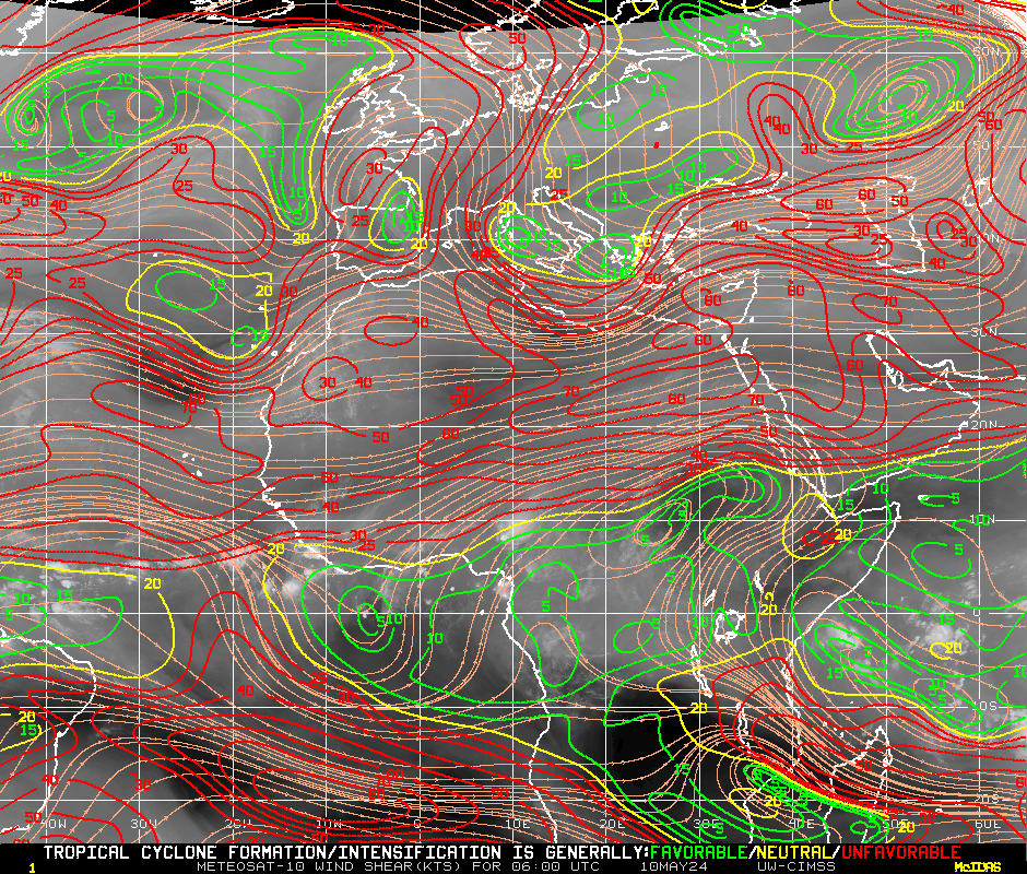
Shear isn't terrible at all
And SSTs aren't too frigid on its path...

Maybe it'll remain as a identifiable wave, let me re-phrase, a wave detectable like an amateur like myself all the way across to South America and then up into the Caribbean.
Or maybe not.
18Z GFS splits the 850 mb vorticity into two pieces, with the stronger piece heading Northwest before dying, and the weaker piece just dying, and the Canadian, the one model that should show something of there is any hope, well, 12Z Canadian loses the 850 mb feature, but does bring another nice one off Africa in two days.
This could be the GFS storm for the first week of June in Florida, losing most of the storms, just sneaking across the Atlantic to flare up again in the Caribbean. Or maybe not.
Shear isn't terrible at all
And SSTs aren't too frigid on its path...
Maybe it'll remain as a identifiable wave, let me re-phrase, a wave detectable like an amateur like myself all the way across to South America and then up into the Caribbean.
Or maybe not.
18Z GFS splits the 850 mb vorticity into two pieces, with the stronger piece heading Northwest before dying, and the weaker piece just dying, and the Canadian, the one model that should show something of there is any hope, well, 12Z Canadian loses the 850 mb feature, but does bring another nice one off Africa in two days.
0 likes
-
Ed Mahmoud
Re: Central Atlantic / Coast of Africa
No model support I can see, and it seems to have started the fizzle process, but it hasn't completely fizzled, yet.
0 likes
-
Category 5

- Category 5
- Posts: 10074
- Age: 36
- Joined: Sun Feb 11, 2007 10:00 pm
- Location: New Brunswick, NJ
- Contact:
-
Opal storm
Re: Central Atlantic / Coast of Africa
Way too early to be looking this far out for anything, but these waves give us a good indication that the season is about to get rollin'.
0 likes
Who is online
Users browsing this forum: AnnularCane and 168 guests