Global Model Runs for W.Caribbean Early Season Development
Moderator: S2k Moderators
Forum rules
The posts in this forum are NOT official forecasts and should not be used as such. They are just the opinion of the poster and may or may not be backed by sound meteorological data. They are NOT endorsed by any professional institution or STORM2K. For official information, please refer to products from the National Hurricane Center and National Weather Service.
- Ivanhater
- Storm2k Moderator

- Posts: 11169
- Age: 39
- Joined: Fri Jul 01, 2005 8:25 am
- Location: Pensacola
Re: GFS (W.Carribean) Early Season Development?
Interesting...looks like an Arlene type system in 2005 that hit Pensacola and the Florida panhandle...originates in the west caribbean and sheared moving north in the gulf...
0 likes
- Category 5
- Category 5

- Posts: 10074
- Age: 35
- Joined: Sun Feb 11, 2007 10:00 pm
- Location: New Brunswick, NJ
- Contact:
Re: GFS (W.Carribean) Early Season Development?
This is the long range GFS so I wouldn't put much into it. However three years in a row we've had simular systems pop up in the first two weeks of June.
0 likes
Re: GFS (W.Carribean) Early Season Development?
The GFS shows the same development in thre Western Caribbean around 300 hrs and moving NNE thru the Bahamas.this was the 00zGFS run.
http://www.nco.ncep.noaa.gov/pmb/nwprod ... el_m.shtml
http://www.nco.ncep.noaa.gov/pmb/nwprod ... el_m.shtml
0 likes
-
Ed Mahmoud
Re: GFS (W.Carribean) Early Season Development?
boca wrote:The GFS shows the same development in thre Western Caribbean around 300 hrs and moving NNE thru the Bahamas.this was the 00zGFS run.
http://www.nco.ncep.noaa.gov/pmb/nwprod ... el_m.shtml
Haven't bothered to watch the GFS all the way out over the Atlantic, but maybe it is tracking this intense blob ( with its own S2K thread) still over Africa all the way across the Atlantic.
0 likes
Re: GFS (W.Carribean) Early Season Development?
Ed Mahmoud wrote:boca wrote:The GFS shows the same development in thre Western Caribbean around 300 hrs and moving NNE thru the Bahamas.this was the 00zGFS run.
http://www.nco.ncep.noaa.gov/pmb/nwprod ... el_m.shtml
Haven't bothered to watch the GFS all the way out over the Atlantic, but maybe it is tracking this intense blob ( with its own S2K thread) still over Africa all the way across the Atlantic.
On that run it looks like the system just pops up in the W Caribbean out of nowhere and heads NNE.Whats also interesting is that the GFS has another system off the Yucatan heading towards Florida.
0 likes
- gatorcane
- S2K Supporter

- Posts: 23703
- Age: 47
- Joined: Sun Mar 13, 2005 3:54 pm
- Location: Boca Raton, FL
Re: GFS (W.Carribean) Early Season Development?
The GFS has a low developing in the extreme SW Caribbean off a large thunderstorm cluster/wave that pushes off the NW Coast of South America at Day 9. The low moves NW through the Western Caribbean and intensifies south of Cuba turning NE missing SE Florida to the SE by a comfortable 150+ miles or so. This type of development/track seems reasonable for the end of May.
Here is the low's closest point to SE Florida. Note the low accuracy of this prediction as its 348 hours out.

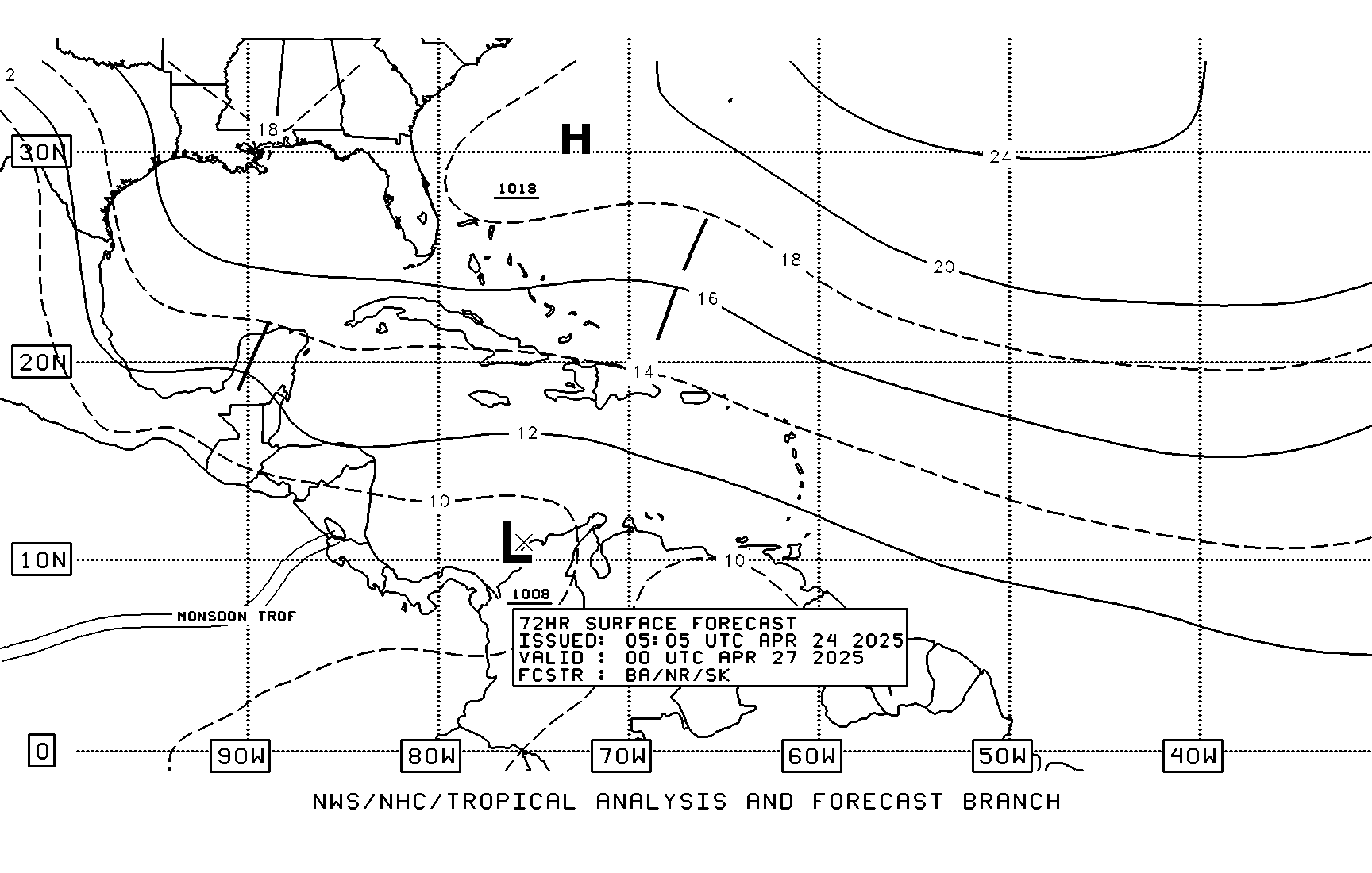
I'm fairly certain this low develops from one of a series of waves moving across the MDR. Note the high frequency of waves depicted by TAFB. The wave this low could develop from is still not in this picture though.

Here is the low's closest point to SE Florida. Note the low accuracy of this prediction as its 348 hours out.

I'm fairly certain this low develops from one of a series of waves moving across the MDR. Note the high frequency of waves depicted by TAFB. The wave this low could develop from is still not in this picture though.

0 likes
-
Ed Mahmoud
Re: GFS (W.Carribean) Early Season Development?
of course, any Day 9 forecast from a model that spares Florida by 150 miles needs to be questioned in two things. That far out, is the forecast cyclone real. It may never form. And at 9 days out, a forecast that it misses any land area in the region also seems to be less than certain. Especially considering the GFS' post 180 reduction in grid resolution.
We shall see what we shall see. It does look like decent looking waves are pushing off Africa, even if they lose most of their convection a day or two out to sea. Maybe one of them will track across the top of South America and head into the Caribbean.
East Atlantic loop
We shall see what we shall see. It does look like decent looking waves are pushing off Africa, even if they lose most of their convection a day or two out to sea. Maybe one of them will track across the top of South America and head into the Caribbean.
East Atlantic loop
0 likes
-
flwxwatcher
- Category 4

- Posts: 926
- Joined: Wed May 16, 2007 3:35 pm
- Location: Central Florida
Re: GFS (W.Carribean) Early Season Development?
Agreed, anything in the long range should be taken with a grain of salt. The GFS has been trying to develop something off and on now for several days in the longer range, which it likes to do this time of year in the SW Caribbean. It's something to watch but I am not a believer yet. 
0 likes
-
flwxwatcher
- Category 4

- Posts: 926
- Joined: Wed May 16, 2007 3:35 pm
- Location: Central Florida
Re: GFS (W.Carribean) Early Season Development?
Yes.. the last few runs have been teasing Florida in the Longer range. I know J.B. is saying with the Pulse of the MJO heading toward the Atlantic Basin in the longer range he thinks the Gulf is an area to watch down the road. Time will tell.
0 likes
Re: GFS (W.Carribean) Early Season Development?
I hope the 18zGFS holds true because that would put a dent in the 2 year old drought.
http://www.nco.ncep.noaa.gov/pmb/nwprod ... p_288m.gif
http://www.nco.ncep.noaa.gov/pmb/nwprod ... p_288m.gif
0 likes
6Z GFS 5/18 continues on western carribean development and quite bullish.
H+312
http://www.nco.ncep.noaa.gov/pmb/nwprod ... n_312l.gif
H+324
http://www.nco.ncep.noaa.gov/pmb/nwprod ... n_324l.gif
H+336
http://www.nco.ncep.noaa.gov/pmb/nwprod ... n_336l.gif
H+348
http://www.nco.ncep.noaa.gov/pmb/nwprod ... n_348l.gif
H+360
http://www.nco.ncep.noaa.gov/pmb/nwprod ... n_360l.gif
H+372
http://www.nco.ncep.noaa.gov/pmb/nwprod ... n_372l.gif
0 likes
-
Dean4Storms
- S2K Supporter

- Posts: 6358
- Age: 62
- Joined: Sun Aug 31, 2003 1:01 pm
- Location: Miramar Bch. FL
-
Derek Ortt
again,
I must remind everyone that due to there being no exact solution of the Navier-Stokes equations, they must be solved numerically. With any numerical solution of a PDE, there are truncation errors that grow in time.
Therefore, even though many runs of the GFS has been showing this, IT MEANS NOTHING mathematically
0 likes
- cycloneye
- Admin

- Posts: 148741
- Age: 69
- Joined: Thu Oct 10, 2002 10:54 am
- Location: San Juan, Puerto Rico
Re: GFS (W.Carribean) Early Season Development?
12z GFS Loop


Having mathematics or not I am only following this to see if this model continues consistant and see if other models join in the comming days or GFS turns out to be a loner on this.Yesterday it started on day 11,now the entretainment starts on day 10 and by reaching the 10 number,it enters in the Medium Range area.
Having mathematics or not I am only following this to see if this model continues consistant and see if other models join in the comming days or GFS turns out to be a loner on this.Yesterday it started on day 11,now the entretainment starts on day 10 and by reaching the 10 number,it enters in the Medium Range area.
0 likes
-
JonathanBelles
- Professional-Met

- Posts: 11430
- Age: 35
- Joined: Sat Dec 24, 2005 9:00 pm
- Location: School: Florida State University (Tallahassee, FL) Home: St. Petersburg, Florida
- Contact:
- Hybridstorm_November2001
- S2K Supporter

- Posts: 2817
- Joined: Sat Aug 21, 2004 2:50 pm
- Location: SW New Brunswick, Canada
- Contact:
Who is online
Users browsing this forum: No registered users and 72 guests

